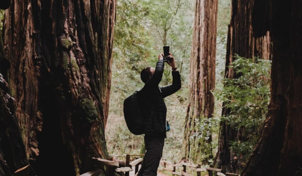

Stand in the Lady Bird Johnson Grove at eight in the morning and the fog sits at eye level, moving so slowly you can watch individual strands catch on a sword fern and stay there. Drive forty minutes south to Founders Grove in Humboldt Redwoods State Park on the same morning and the fog has already lifted into a high gray ceiling, leaving the trunks lit but the canopy socked in. Same marine layer, same latitude, completely different mood. That’s the thing nobody tells you about redwood fog: it doesn’t behave like weather. It behaves like something the trees are doing on purpose.
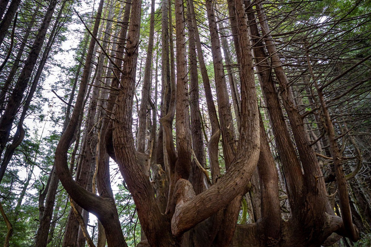
This stretch of Northern California reads the way it does because of a narrow, specific trick of geography. Cold water from the Pacific meets warm inland air along a coastline backed by steep ridges, and the ridges trap the resulting fog instead of letting it drift through. Redwoods actually depend on this: along the Redwood National Park climate, up to a quarter of the moisture these trees get in a dry season arrives as fog drip, not rain. The groves that hold fog longest tend to be the low, flat, river-adjacent ones, while groves up on ridgelines burn off faster and get the harsher, more theatrical light instead. According to NPS averages, fog is heaviest from June through August, with July typically the foggiest month of the year along this stretch of coast.
This is for travelers who want to build a trip around weather and light rather than around a checklist of named trails, and who don’t mind getting their boots wet before 10 a.m.
The Redwood National Park core
Lady Bird Johnson Grove, California
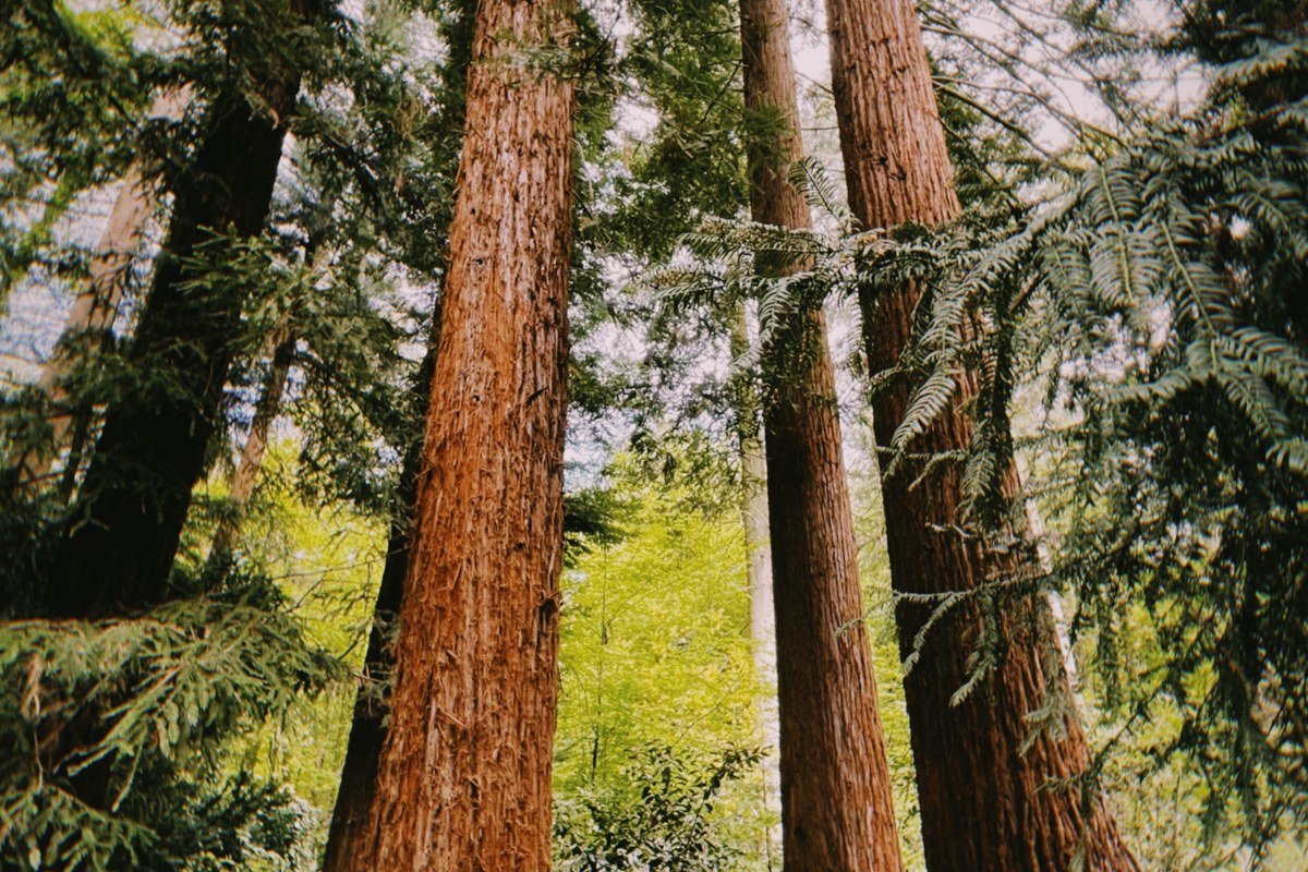
This loop sits on a ridge above Bald Hills Road, and it’s one of the few places in the Redwood National Park system where you can park, walk 100 yards, and already be inside fog that hasn’t touched the ground yet. The grove’s elevation means the marine layer arrives here first and clears here first, so if you want the fog without the all-day commitment, come at first light and you’ll likely be back in sun by mid-morning. Redwood National Park itself charges no entrance fee, and this trailhead has a small lot (room for roughly 30 cars) that fills by mid-morning in summer.
Pair it with: Tall Trees Grove, 45 minutes south on Bald Hills Road (permit required, see below).
Tall Trees Grove, California
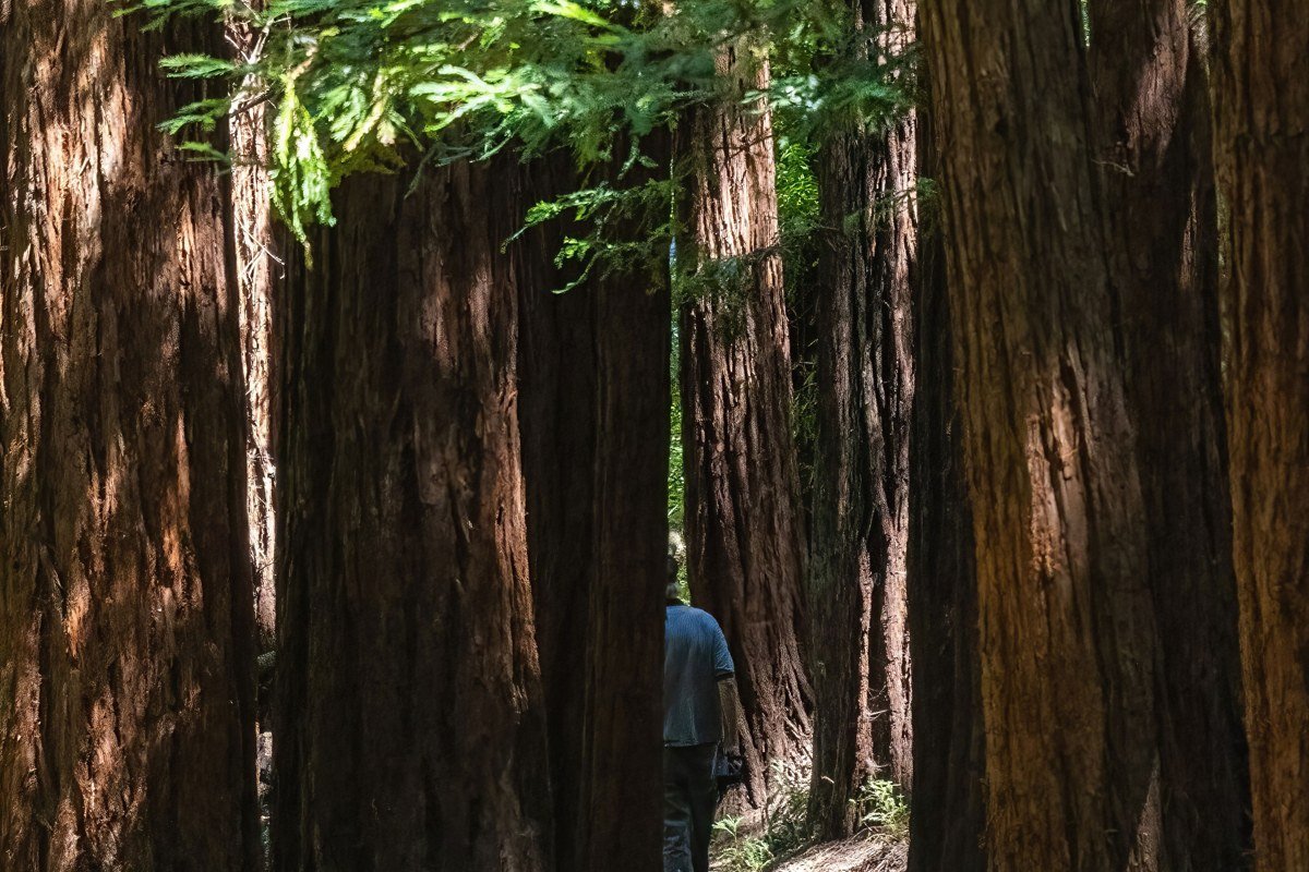
Access here is the detail most first-timers miss: you need a free permit from the Redwood National Park visitor center, and the park issues only 50 per day. In July, those 50 slots are typically gone by 9:30 or 10 a.m., so arrive at the visitor center at opening if you want one. The gate code it gives you is only good that day. The road down is steep, narrow gravel, and the grove sits in a bowl along Redwood Creek where fog pools and genuinely lingers, sometimes for days at a stretch rather than burning off by noon. Go in the morning; by afternoon the light inside the bowl goes flat and gray rather than glowing.
Pair it with: Lady Bird Johnson Grove, same access road, 45 minutes north.
Radar Station B-71, California
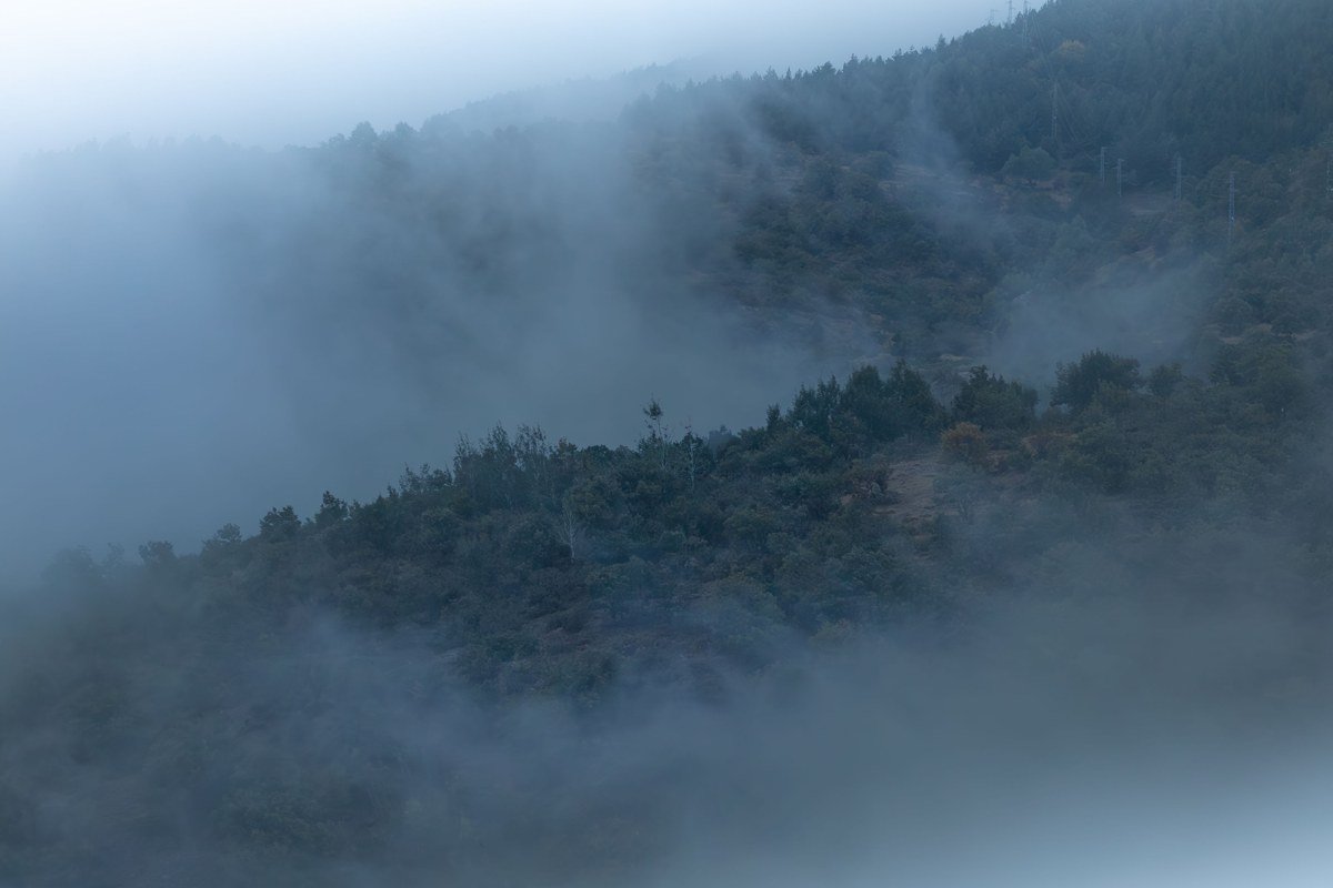
This is the detour nobody puts on a redwoods itinerary, and that’s the point. Tucked near the Klamath River, it’s a surviving WWII early-warning radar installation built to look like an ordinary farmstead, complete with a power building disguised as a farmhouse, so Japanese reconnaissance wouldn’t flag it. On a foggy morning the clearing around it has a genuinely eerie, held-breath quality that no other historic site in the park comes close to.
Pair it with: Coastal Drive, a slow, cliff-hugging alternative route a few miles away.
The Smith River and Jedediah Smith side
Stout Grove, California
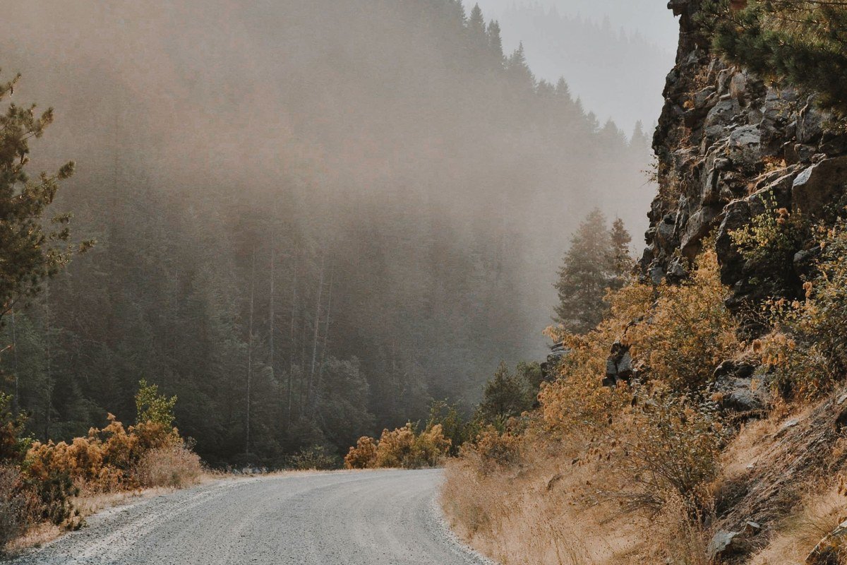
Inside Jedediah Smith Redwoods State Park, this flat grove along the Smith River is the one guidebooks call the single best easy walk in the whole redwood region, and for once that reputation holds up. The river keeps humidity high here even after fog elsewhere has cleared, so beams of light through residual mist often last an extra hour compared to groves farther from water. State park entry runs $8 per vehicle for day use, separate from the national park, which charges nothing.
Pair it with: Howland Hill Road, which runs right past the grove’s access point.
Howland Hill Road, California
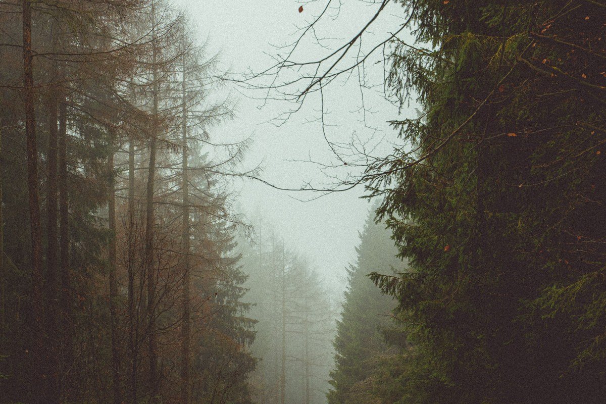
This unpaved road is the one locals mention like a secret even though it shows up on every map: a narrow, canopy-tunnel drive connecting South Fork Road to Jedediah Smith Redwoods, reachable off US 199 from the northeast. It closes seasonally when heavy rain turns it to mud, typically sometime between November and March, so check conditions before counting on it as your route. Fog hangs differently here than anywhere else on this list, trapped laterally between trunks rather than settling as a ceiling overhead, because the road sits in a drainage.
Pair it with: Stout Grove, five minutes off the road’s midpoint.
The Prairie Creek corridor
Fern Canyon, California
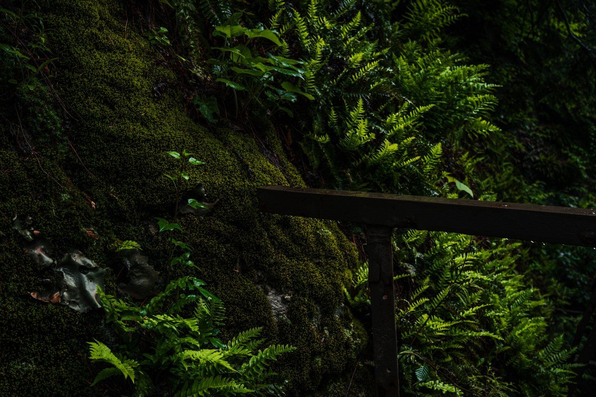
Reached via Davison Road, a rough, partly unpaved track with a seasonal gate and a $12 day-use fee, Fern Canyon has fifty-foot walls dripping with five species of fern and a shallow creek you’ll cross on foot more than once, often right at the plank crossing near the canyon’s mouth where most people stop to retie their boots. Fog here reads less like a sky condition and more like humidity made visible, since the canyon’s depth keeps it shaded and damp most of the day. Parking is limited (the lot holds about 25 vehicles) and the road sometimes closes after storms, so this isn’t a spontaneous stop, it’s one you plan the morning around.
Pair it with: Newton B. Drury Scenic Parkway, the paved route Davison Road branches off from.
Newton B. Drury Scenic Parkway, California
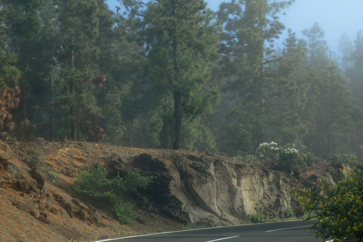
This ten-mile paved alternative to US 101 runs through Prairie Creek Redwoods State Park and is, frankly, the most reliable drive-through fog experience on this entire list, no hiking required. Elk graze the roadside meadows at either end, often standing in fog so thick they appear and disappear as you pass; the Elk Meadow turnout near the parkway’s south end is the most dependable spot to see them. It’s the stretch to show someone who wants the redwood-fog feeling but has an hour, not a day.
Pair it with: Fern Canyon, 20 minutes off the parkway’s midpoint via Davison Road.
The Humboldt Redwoods detour
Founders Grove, California
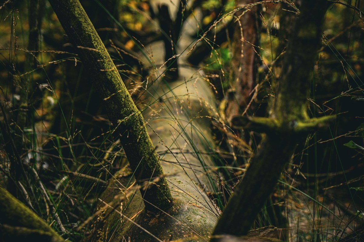
South of the national park boundary, in Humboldt Redwoods State Park along the Avenue of the Giants, Founders Grove holds a different kind of fog story: here the canopy often clears before the understory does, so you get shafted light hitting fog still pooled around fallen logs and sword ferns at ground level, including the Dyerville Giant’s remains just off the loop trail. This is inland enough that summer fog is lighter and burns off faster than on the coast, making April, May, September, and October the better bet for the thick, lingering version photographers actually want. There’s no fee to walk the grove itself, and it’s an easy half-day add-on if you’re driving between San Francisco and the national park on US 101, roughly 220 miles (about four hours) north of the city. Burlington Campground, right across the Avenue, makes a reasonable base if you want to catch the grove at first light rather than driving in.
Pair it with: the Avenue of the Giants itself, the parallel scenic road running the length of the park.
For a long weekend, choose the Redwood National Park core if photography and that trapped-light effect are the whole point of the trip, since Tall Trees and Lady Bird Johnson sit minutes apart and reward an early alarm (and, in Tall Trees’ case, an early permit run). Choose the Prairie Creek corridor if you’re traveling with people who want elk, ferns, and a beach in the same day, because nothing else on this list packs that much variety into one scenic parkway.