
No, it isn’t. Zion canyoneering has a deep bench of permitted routes beyond the Left and Right Fork of North Creek, and most of them see a fraction of the Subway’s lottery applicants.
Southern Utah’s canyon country exists because of a specific geologic accident: Navajo sandstone, laid down roughly 190 million years ago during the Jurassic, cut by flash floods into narrow, winding slots that can be ten feet wide and three hundred feet deep. That geology is concentrated in a band running from Zion National Park east through the Colorado Plateau, which is also why the best canyoneering clusters so tightly around a few hours of driving. Spring and fall are the window. Summer brings flash flood risk from monsoon storms that can originate miles from a canyon’s entrance, and winter brings icy water that turns a Grade C canyon into a hypothermia risk even on a sunny day.
This is for hikers who’ve already done the Subway or the Narrows, own a wetsuit, know how to rappel and build an anchor, and want the next tier of permitted technical canyons without wasting a trip on something that’s really just a scramble with a brand name.
Zion’s backcountry, beyond the Subway
Zion issues permits for a short list of technical canyons through its wilderness desk at the Zion Canyoneering Permits office in Springdale. Advance permits go through a lottery, applications open roughly three months ahead on a rolling monthly basis through the park’s recreation.gov system, and a smaller pool of walk-in permits is released the day before at the wilderness desk starting at 7:00 a.m. Fees run $15 for a group of 1-2 up to $25 for the largest groups, charged per group rather than per person. The lottery is genuinely competitive for Subway and Mystery during peak fall color weeks; the walk-in pool is where the patient actually get in.
Mystery Canyon, Utah
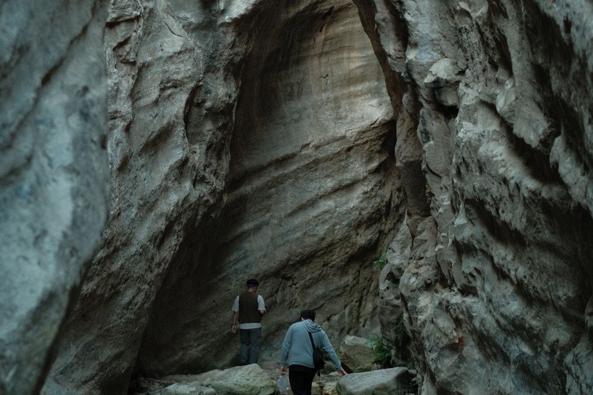
Mystery Canyon drops you into the Zion Narrows from above, finishing with a rappel past, and sometimes through, a waterfall directly into the river, with hikers from the main Narrows trail watching you land. It’s a one-day, permit-only route with six to eight rappels, the longest around 100 feet, and most parties start before dawn from the trailhead off the East Rim/Weeping Rock area to make the shuttle timing work. The exit float down the Narrows to the Temple of Sinawava means you’ll want the same gear you’d bring for the Narrows itself: neoprene socks or a wetsuit depending on season, and a dry bag for anything that can’t get wet. Permits for Mystery are capped at a handful of groups per day, so this is usually a lottery-only canyon rather than a walk-in option.
Orderville Canyon, Utah
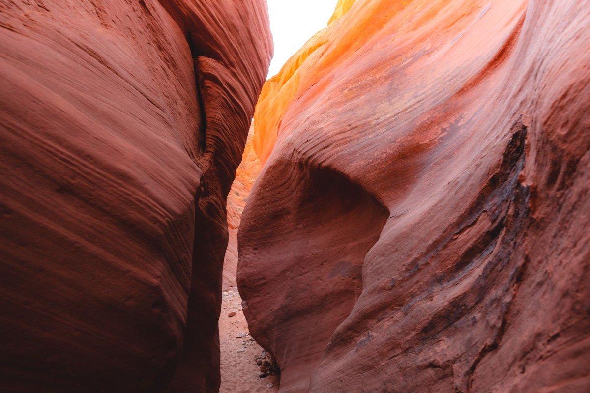
Orderville is the gateway drug to Zion canyoneering for a reason: no rappelling required, just route-finding, wading, and a few downclimbs through a slot that feeds into the Narrows. Zion Adventure Company in Springdale rents the drysuits and canyoneering packages for exactly this route, and it’s the one their guides steer strong beginners toward when they want the Zion experience without rope work. It still requires a permit because of the flash flood exposure. The access point is the Nalc trailhead off East Rim Trail, roughly a mile in from the East Entrance Station; the last mile joins the Narrows crowd, so time your exit to beat the afternoon rush coming upstream from the shuttle stop.
Pine Creek Canyon, Utah
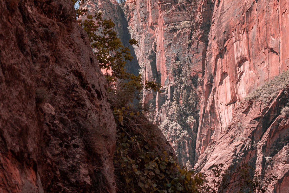
Pine Creek sits right off the Zion-Mount Carmel Highway near mile marker 10, just west of the tunnel, which makes it the most accessible technical canyon in the park logistically, even though the canyoneering itself is serious: a keeper pothole requiring a partner-assist technique, and a rappel that drops you near the tunnel’s east entrance with highway traffic audible above. Because the approach is so short, Zion Guru and Zion Adventure Company both use it to teach Zion-specific skills before sending clients into Mystery or the Subway. Expect company; the parking pullout near the tunnel holds maybe a dozen cars and fills by mid-morning in peak season.
Keyhole Canyon, Utah
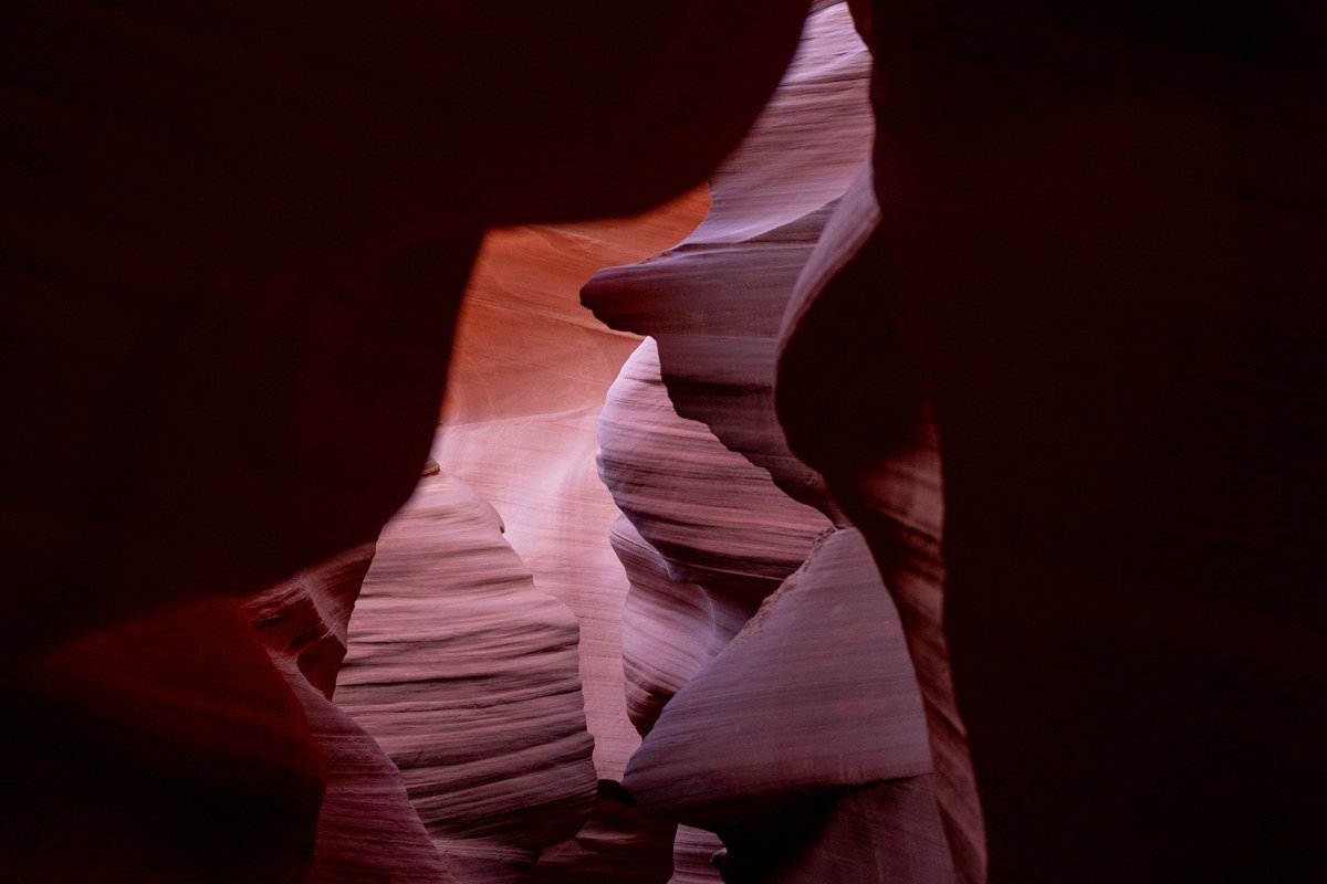
Keyhole is the shortest technical canyon in Zion, often done in under three hours including the approach, which makes it the practical choice when you’ve got a permit but not a full day. The trailhead is a small pullout on Highway 9 near mile marker 7.5, close enough to the highway that you can hear cars between rappels. The canyon is genuinely tight in sections, cold water sits in the potholes well into late spring, and the two rappels are short but exposed enough that this isn’t a good first canyon for someone who’s never built an anchor. It’s also the route most people use to burn a permit day when weather shuts down a bigger objective, since it’s rarely the one people drove here specifically for.
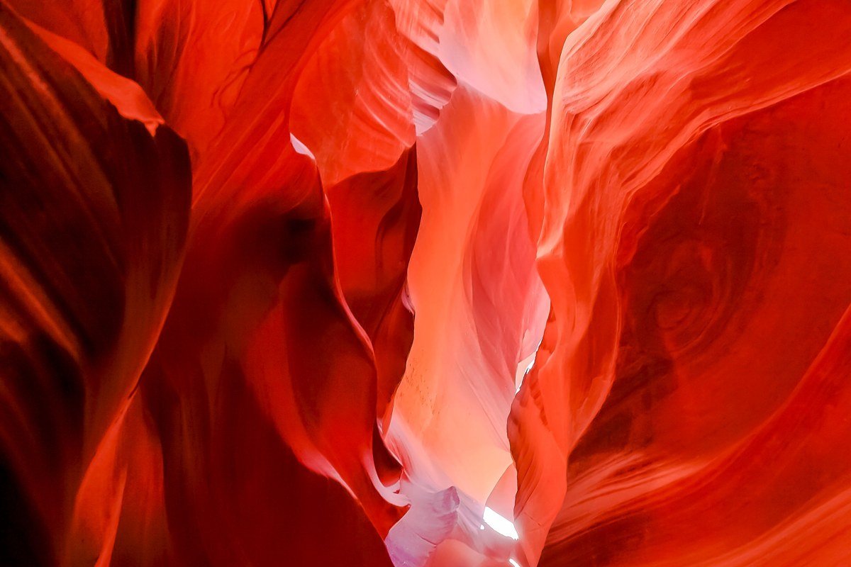
The San Rafael Swell
Two hours north of Zion by interstate, the San Rafael Swell is a different animal: a giant geologic dome in central Utah, mostly on BLM land rather than Park Service land, with no lottery system and far fewer people.
Little Wild Horse Canyon, Utah
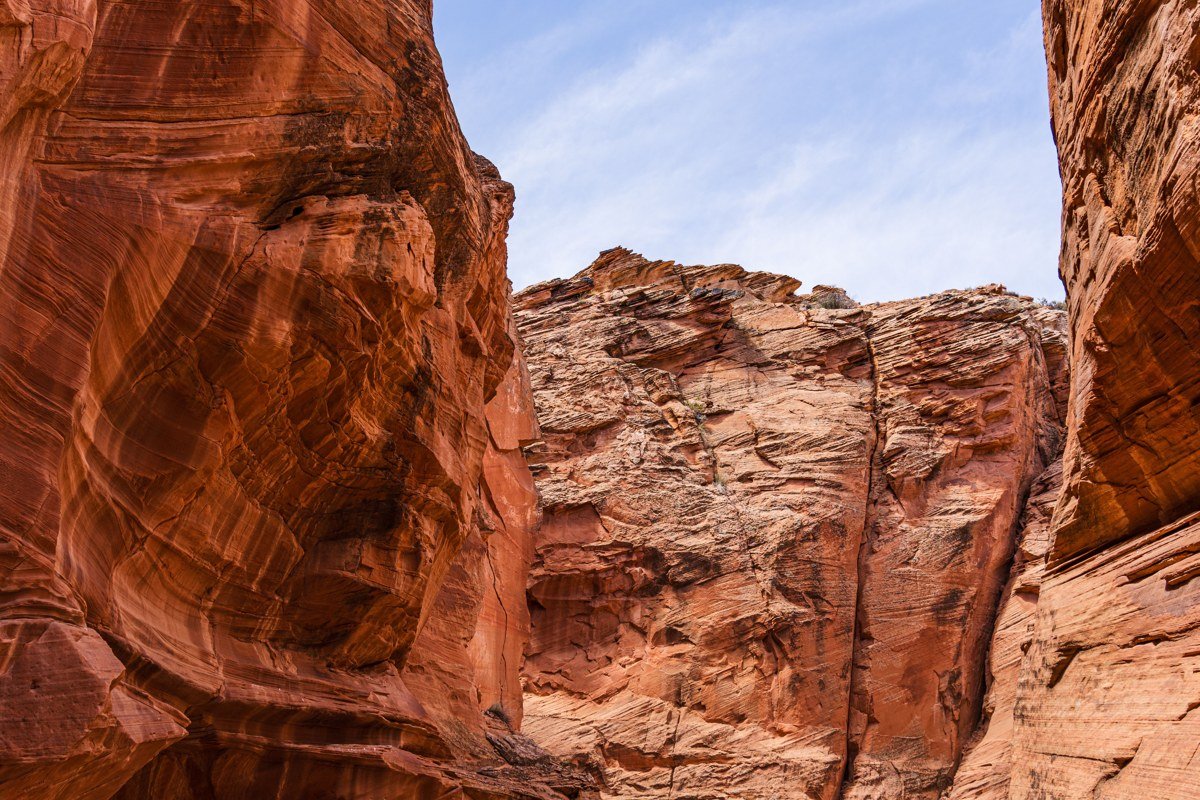
Little Wild Horse is the most-photographed non-rappelling slot canyon in the state, and it earns the attention: a mile and a half of genuinely sinuous narrows you can walk, no technical gear required, which makes it the best warm-up canyon before a group heads into something that demands ropes. No permit, no fee beyond the dirt road drive in. The trailhead parking lot sits about 5 miles down the Goblin Valley access road from UT-24; the washboard surface on that stretch punishes low-clearance cars, so budget extra time going in slow rather than risking a tire. Loop it with Bell Canyon via the connector trail and it stretches into a half-day instead of a two-hour stroll.
Chute Canyon, Utah
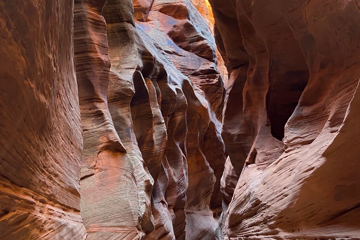
Chute Canyon is where the Swell gets technical: a multi-rappel route with no permit system, no crowds, and no cell service, which means your margin for error needs to be wider than it would be in Zion with rangers nearby. Water is usually minimal compared to Zion’s canyons, so this is a good shoulder-season option when Zion’s slots are still running too cold. The approach starts from a pullout along Behind the Reef Road, and it crosses open slickrock with few obvious landmarks, so bring a printed topo or a downloaded GPS track rather than relying on a cell signal that won’t exist.
Southern Utah beyond Zion, the Escalante side
East of Zion, past Bryce Canyon, the drainages feeding into the Escalante River hold some of the most remote canyoneering in the country, reached by dirt roads that can close entirely after rain.
Peek-a-Boo and Spooky Gulch, Utah
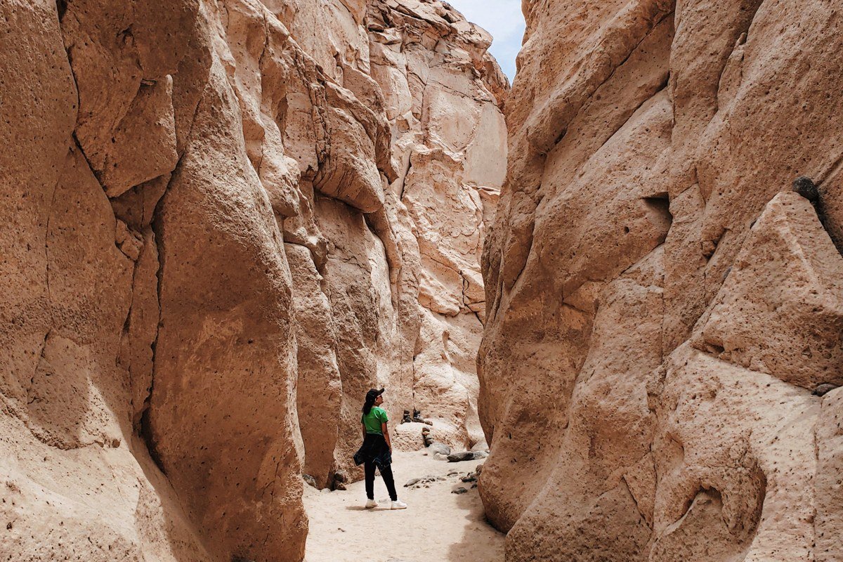
These two canyons sit close enough together, off Hole-in-the-Rock Road about 26 miles south of Escalante, that most people do both in one loop: Peek-a-Boo has a scrambly entrance and arching walls, Spooky is so narrow in places that larger hikers physically cannot pass through. No rope required for either, but real claustrophobia risk in Spooky. There’s no permit system here, but the access road is graded dirt that turns to impassable clay after rain, stranding more cars than any technical hazard in the canyons themselves. This is the spot people call overrated because of summer crowding; go in October or April instead and you’ll often have it to yourself.
Neon Canyon (the Golden Cathedral), Utah
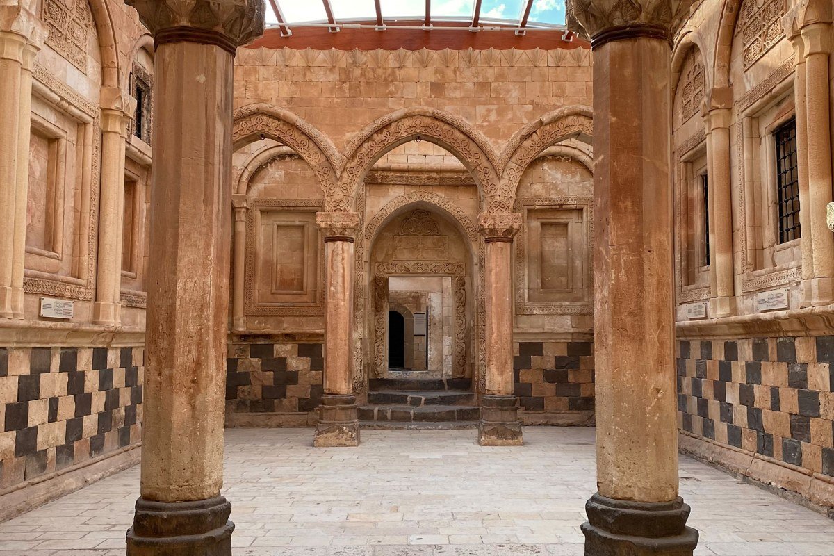
Neon Canyon’s Golden Cathedral is the payoff shot for serious canyoneers in this region: a massive sandstone amphitheater with arch-like openings overhead, reached via a long technical descent with rappels through potholes, finishing at a pool where day hikers who approached from below are usually watching you come down. Getting there means finding the Egypt Bench Road turnoff off Hole-in-the-Rock Road (roughly N37.6719, W111.2486), a rough dirt track that eats a sedan’s oil pan, and the full car-shuttle or out-and-back adds hours to an already long day. No permit required, but this is not a beginner canyon; treat it as a graduation route after you’ve done Zion’s mid-tier canyons.
If you’ve only got a long weekend, stay inside Zion’s cluster. Flying into Las Vegas puts you about two and a half hours from Springdale, and you can chain Pine Creek, Keyhole, and Orderville into three days without touching a dirt road, with a permit system that, while competitive, is at least predictable. Save the Swell and the Escalante drainages for a trip where you’ve already got a high-clearance rental and no deadline. The reward out there is real, but the roads do not forgive a rushed schedule.