
This is a 7-day, roughly 420-mile loop out of Anchorage, Alaska, down the Seward Highway and the Sterling Highway and back, with no dock, no muster drill, and no fixed dinner seating. You drive it yourself, in a rental SUV or your own truck, from late May through mid-September when the roads and the ranger stations are actually open. The whole thing is a there-and-back-ish loop with a long spur to Homer, which means you can trim it to three days or stretch it to ten depending on how many glaciers you want to stand next to instead of photograph from a top deck. If you take away one phrase from this guide, make it this: an Alaska adventure trip means driving to the trailhead yourself, not watching the coastline scroll past from a top deck. This route is also a national-park-heavy one (Kenai Fjords, plus the wildlife refuge), so pick up an America the Beautiful annual pass ($80) if you’ll hit more than one or two fee sites, or budget for the individual Kenai Fjords entrance fees at Exit Glacier.
Stop 1: Anchorage, Alaska
Anchorage is where you land, rent your vehicle, and buy your bear spray, and it deserves more than the half-day most itineraries give it. Spend an evening on the Tony Knowles Coastal Trail for moose sightings and a flat, easy leg-stretch after the flight, timed right you’ll catch the long subarctic daylight still bright at 10 p.m. in June, which makes the evening walk feel more like late afternoon. Hit a gear shop for a state fishing license if you plan to wet a line anywhere south of here. This is also your last reliable cell signal and your last big grocery store for a while, so stock the cooler now. Trip timing matters: late May avoids the thickest summer crowds and mosquito season hasn’t peaked, while July gets you the warmest water for kayaking but the busiest trailheads.
From here it’s about 50 miles south on the Seward Highway to Girdwood, roughly an hour with stops for the pullouts along Turnagain Arm.
Stop 2: Girdwood, Alaska
Girdwood is a ski town that spends its summers pretending it isn’t, and the Crow Pass Trail here is a strong shakeout hike for the trip, a steep few miles to an old mining area with glacier views and, if you’ve timed the runs right, salmon visible in the creek by late summer. It beats a flat valley walk as a first real hike because it gets your legs and lungs working on elevation early, before Harding Icefield demands more of both. The tram at Alyeska Resort is the lazy-day option, carrying you up for a ridge-top view of the Turnagain Arm without burning a hiking day you’ll want later. Bears use these trails too, so this is the place to actually learn to carry your spray on a hip belt, not buried in a pack.
Next, it’s about 60 miles south on the Seward Highway, just over an hour, to Portage.
Stop 3: Portage Glacier and Whittier, Alaska
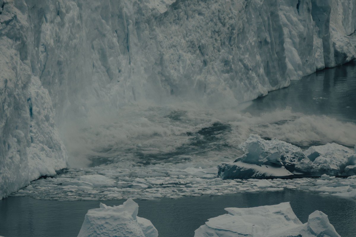
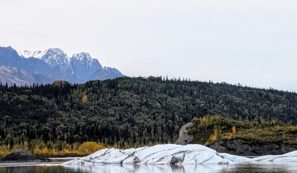
Portage Lake is where you get your first iceberg-paddling fix without needing a permit lottery. Outfitters here, including Portage Glacier Lodge’s boat tours and local kayak rental stands, run small guided trips right up toward the ice face, weather depending, with half-day kayak tours generally running $100-130 per person. The one-lane tunnel through to Whittier (the Anton Anderson Memorial Tunnel) runs on a timed schedule shared with the railroad, so check the posted times before you commit, or you’ll sit in a line of trucks for 20 minutes feeling foolish. Whittier itself is strange and worth an hour: most of the town’s population lives in a single old military high-rise, a detail that tells you more about remote Alaska than any museum placard would.
Backtrack through the tunnel and continue about 40 miles south on the Seward Highway to the Seward cutoff near Moose Pass, close to an hour.
Stop 4: Exit Glacier, Kenai Fjords National Park, Alaska

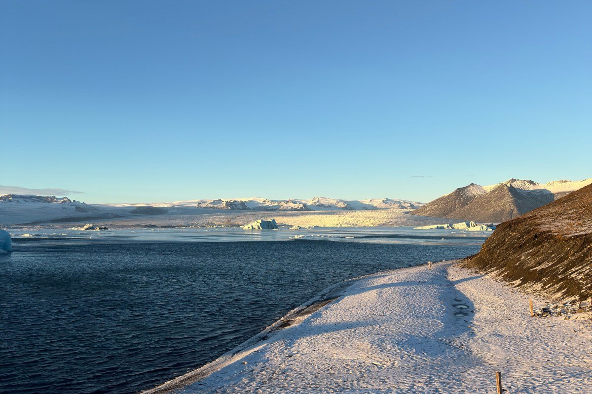
This is the one glacier in Kenai Fjords you can walk to without chartering a boat, and it’s the clearest lesson in climate on the whole trip: signposts along the trail mark where the ice front stood in past decades, and the retreat is not subtle, some markers are now a half-mile or more from the current ice. The Harding Icefield Trail, the serious version of this hike, climbs about 3,500 feet over roughly 8 miles round-trip to a viewpoint over an icefield that feeds dozens of glaciers, and it demands real boots, water, and a weather-dependent window, since the ridge is exposed and the trail stays under snow into early summer most years. Parking fills by mid-morning in July, so get there with coffee still in the thermos. The park entrance and Exit Glacier Nature Center are free, but Kenai Fjords boat tours out of Seward (see Stop 5) run separately and aren’t covered by any park pass. This is also where cruise-ship Alaska and DIY Alaska genuinely diverge: the ship passengers get a flyover or a narrated boat pass; you get to put your hand on the ice.
From the trailhead it’s about 3 miles into downtown Seward, ten minutes.
Stop 5: Seward, Alaska
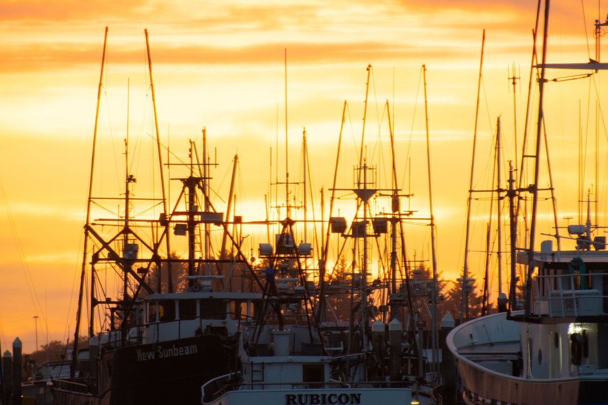
Seward is a real working harbor town, not a cruise terminal dressed up as one, and it’s your base for the two best water days of the trip. Book a sea kayak trip into Resurrection Bay a day or two ahead in peak season through an outfitter like Miller’s Landing or Kayak Adventures Worldwide, since the good operators cap group sizes and July weekends sell out; expect $150-200 per person for a half-day guided paddle. The Alaska SeaLife Center downtown is worth the roughly $30 ticket price on a rainy day, and rain is common here, Seward sits in a genuine coastal rainforest pocket that gets noticeably more precipitation than Anchorage just two hours north. Budget two nights if you can; one night makes the fjords feel rushed.
From Seward, head back north on the Seward Highway about 37 miles to Cooper Landing, roughly 45 minutes.
Stop 6: Cooper Landing, Alaska
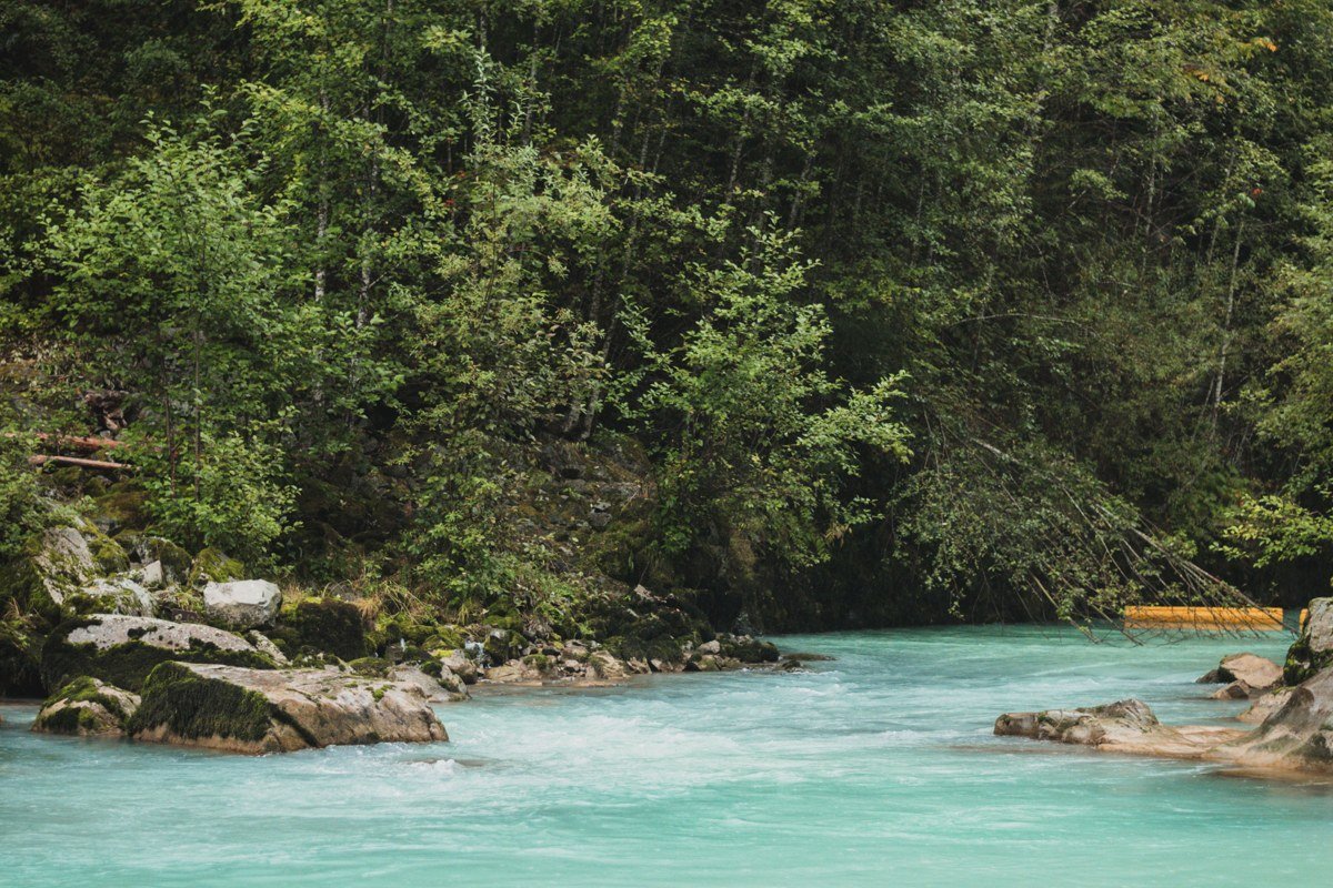
Cooper Landing sits where the Kenai River runs that improbable glacial turquoise, a color caused by finely ground rock flour suspended in the meltwater, and this is your whitewater and float-fishing stop. Several outfitters, including Alaska River Adventures and Kenai Riverside, run put-ins right along the Sterling Highway here, from mellow scenic floats (around $75-90 per person) to a genuine whitewater stretch through the canyon, and you can book either the same day you arrive if you’re flexible on time. Late July into August is when the famous Kenai salmon runs peak, which also means the riverbanks get crowded with combat fishing elbow-to-elbow; if solitude matters to you more than fish counts, aim for June instead. This is a town built around the river, with almost no reason to stop here except to get on the water.
From here, it’s about 55 miles west on the Sterling Highway to Soldotna and on toward Homer, roughly an hour to Soldotna, another 75 miles and 90 minutes on to Homer.
Stop 7: Kenai National Wildlife Refuge, Alaska
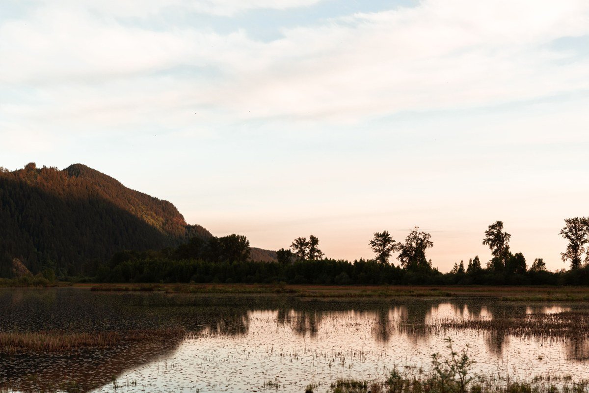
Between Cooper Landing and Soldotna, the refuge’s canoe trail system is worth the detour precisely because almost no one takes it: a network of connected lakes you can link into loops of a few hours or a couple of days, with free backcountry camping and none of the crowds that stack up on the coastal stops. Rent a canoe in Cooper Landing or Soldotna rather than hauling one from home, and pick up a paddle route map at the refuge visitor center, since the portages between lakes aren’t always obvious and aren’t well marked on the water. Moose and loons are near-guaranteed, especially at dawn when the lakes are glassy and still; bears are possible, so hang food properly even on a day trip. People skip this because it isn’t on the ocean they came for, and that’s exactly why it’s worth the detour.
Continue southwest on the Sterling Highway through Soldotna, about 75 miles to Homer.
Stop 8: Homer, Alaska
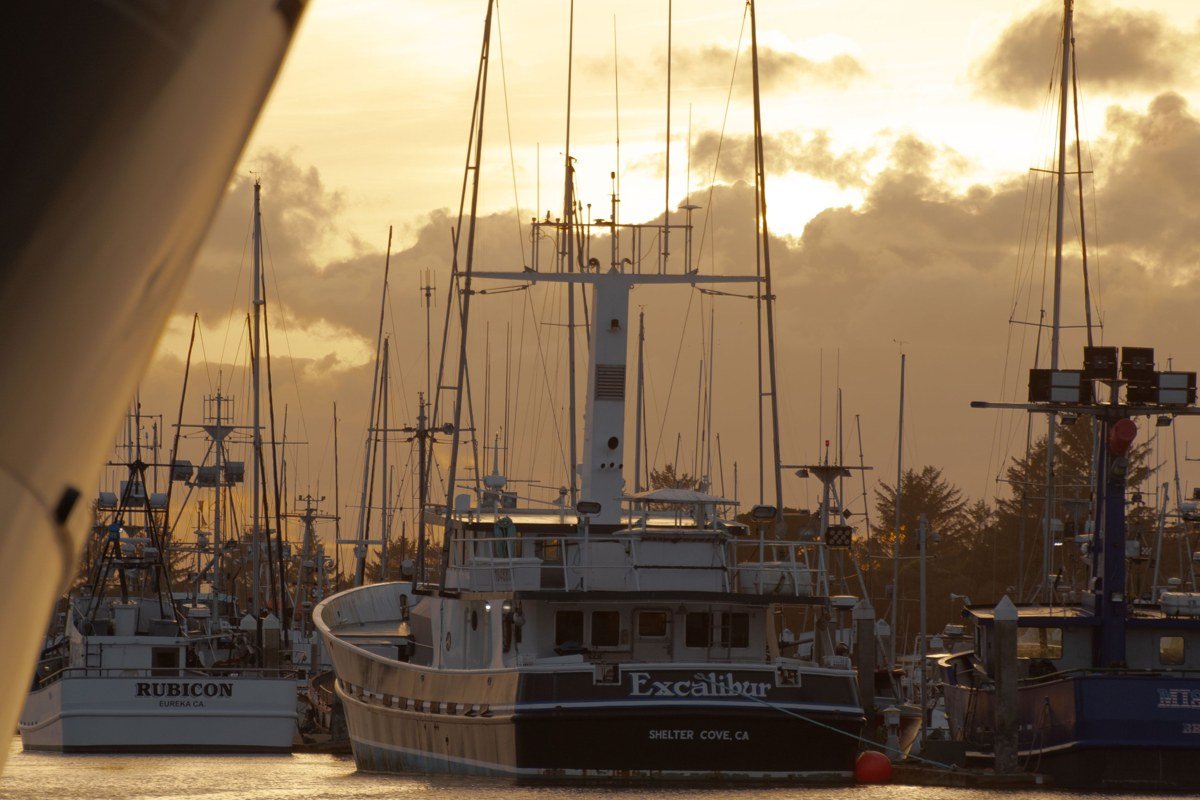
Homer sits at the end of the road, literally, the Sterling Highway stops here, and the Homer Spit is where you book the halibut charter everyone talks you into (expect $250-300 per person for a full-day trip). It’s also the launch point for Kachemak Bay State Park, reachable only by water taxi since there’s no road in, which is the single best argument on this whole trip for why driving yourself beats a cruise stop: you can book a water taxi for sea otters and tide pools at a pace a shore excursion will never offer. The galleries and fish-fry shacks on the Spit are touristy but earn it; the halibut really is that good. Check tide tables before you plan a beach walk anywhere in this bay, since the tidal range here is among the largest in the country, routinely exceeding 20 feet, and flats you walked at low tide vanish fast.
To head back, return north on the Sterling Highway about 170 miles to Anchorage, a solid 3.5 to 4 hours, or break it with a final night back in Cooper Landing or Girdwood.
Stop 9: Portage Pass or Byron Glacier, Alaska
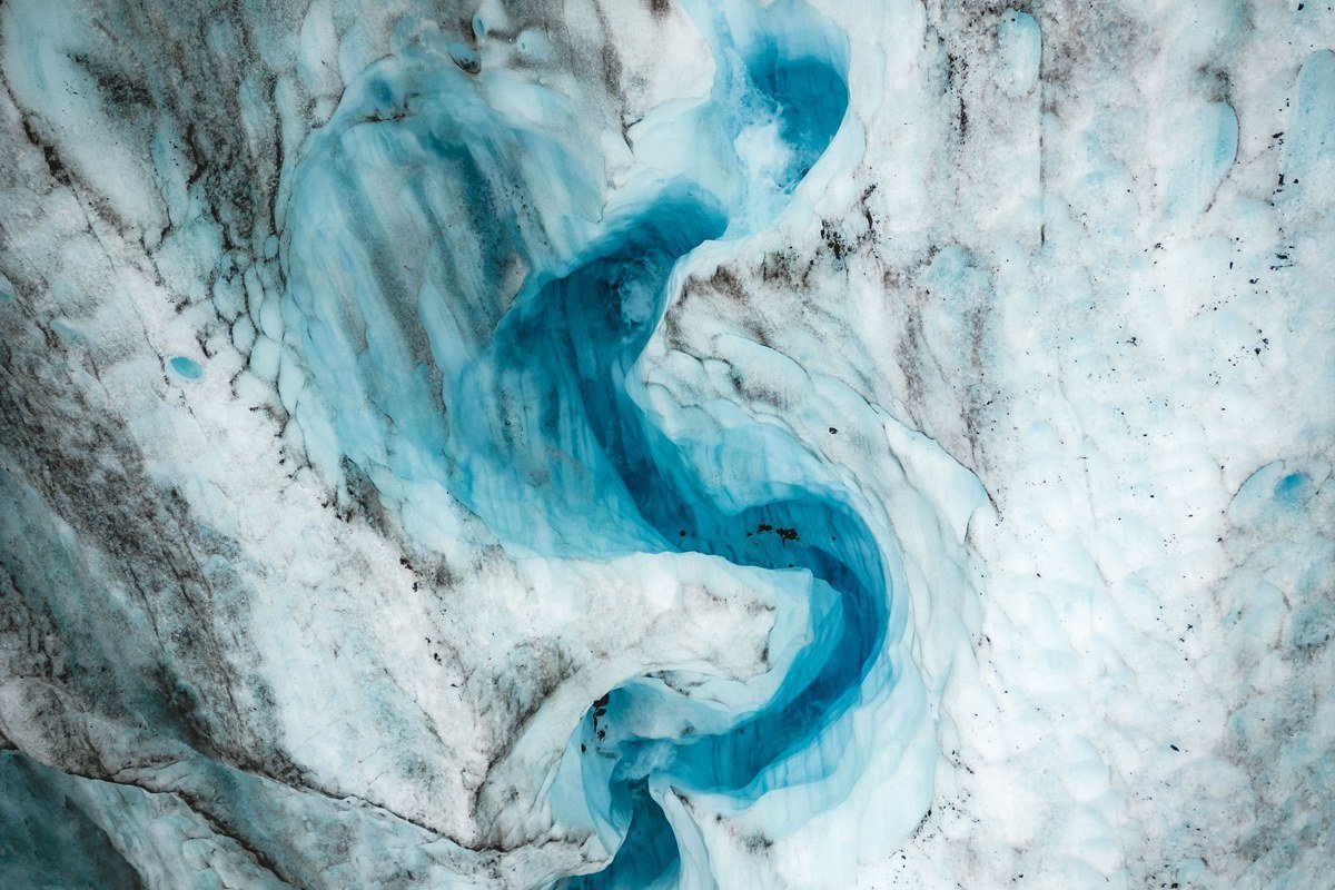
On the drive back toward Anchorage, loop through Portage one more time for the short trail up to Portage Pass, a steep but brief climb (about 2 miles round-trip) rewarded with a view down onto Portage Glacier and its lake that most road-trippers miss entirely on the way out, since it isn’t visible from the highway. If you’d rather keep it flat, the Byron Glacier trail nearby is a gentle family walk through alder to a glacial valley, good for a last stretch before the final push into Anchorage. Either way, this is the stop that closes the loop on the glacier theme you started back in Girdwood, and it costs you maybe 90 minutes total.
Doing it in reverse
Running this loop Anchorage to Homer to Seward to Girdwood works just as well, and it’s the smarter call if the Kenai salmon runs are your main goal, since you’ll hit Cooper Landing and the Russian River confluence at the tail end of the trip when the fish counts are climbing rather than at the start when you’re still deciding how much gear to buy.
If you only have 3 days
Cut it to Anchorage, Exit Glacier and Seward for the fjords and a kayak paddle, then Cooper Landing on the way back for one afternoon on the river. You lose Homer and the wildlife refuge canoeing, which stings, but you keep the glacier hike, the sea kayak launch, and a whitewater put-in, the core of what separates this trip from a highway drive with nice views. Save Homer and the Spit for the return trip; it deserves its own two days, not a rushed afternoon tacked onto the end of a long drive.