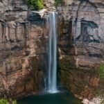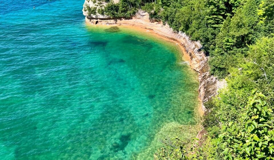

The mistake most people make is treating Upper Peninsula Michigan as a long detour on the way to somewhere else, a place to blow through in a single hard day of driving between Mackinac Island and the Porcupine Mountains. That rush means missing the exact weather that makes this coastline strange and beautiful: the cold, deep water of Lake Superior meeting warmer summer air and throwing fog banks across the highway for miles at a stretch.
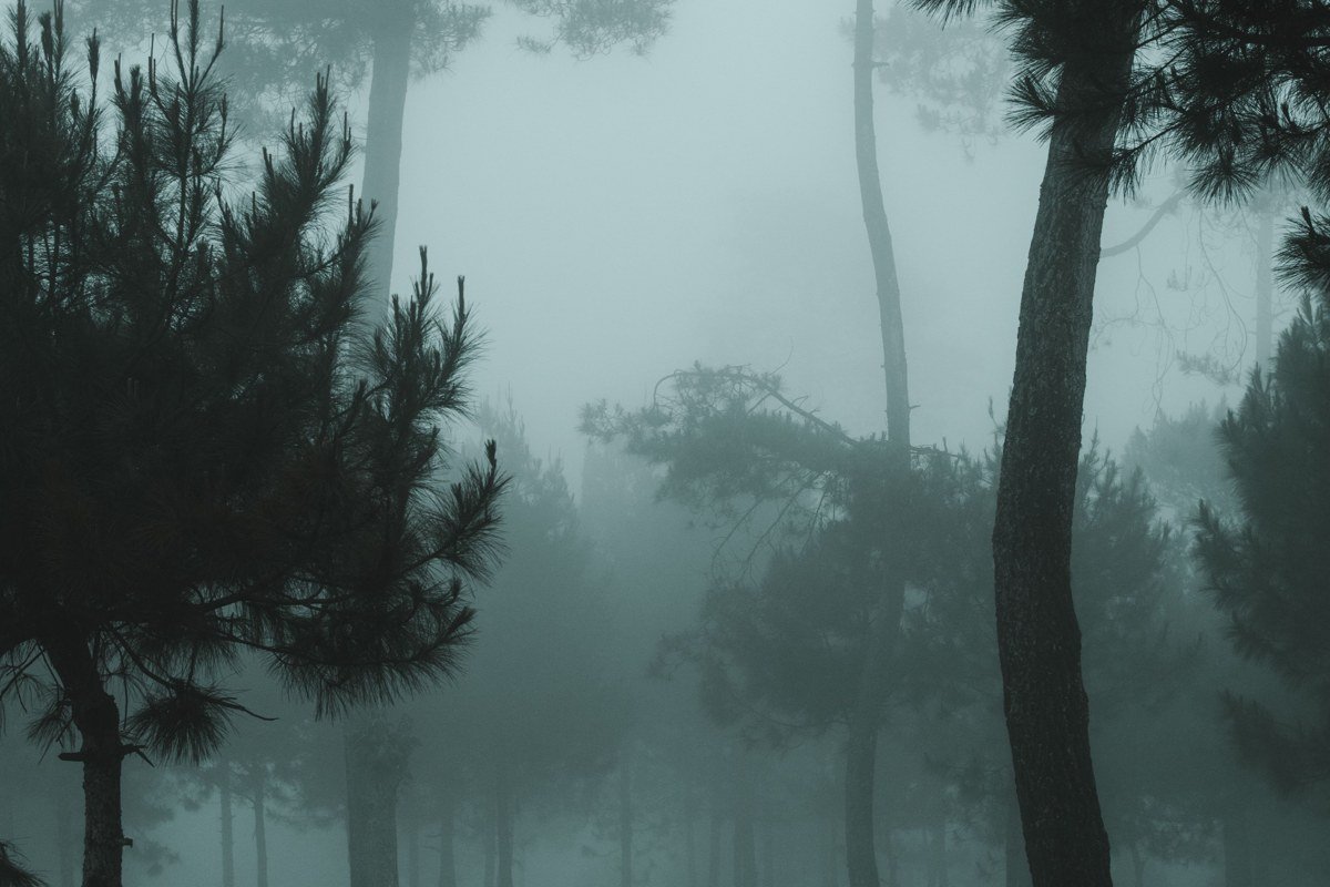
That fog isn’t an accident of geography you can schedule around. Lake Superior holds its chill long into summer, and when humid air drifts over it, the lake exhales mist that rolls into harbor towns and clings to the pines until midday. Spring and early summer produce the thickest banks; by September the air and water temperatures close the gap and the haze burns off faster. Pair that with a shoreline that’s rural by any definition (the UP’s largest city, Marquette, has a population under 20,000) and you get long stretches where fog, water, and empty highway are the whole scene.
This is for travelers who want a slower, moodier Midwest road trip, not a checklist of waterfalls photographed in hard sunlight.
The Straits and Eastern Shoreline
This cluster covers the gateway stretch, where US 2 hugs Lake Michigan’s northern coast before the land starts curling toward Lake Superior. It’s the easiest region to reach and the one most first-timers see, which makes the quieter spots within it feel like a reward for stopping the car.
St. Ignace, Michigan
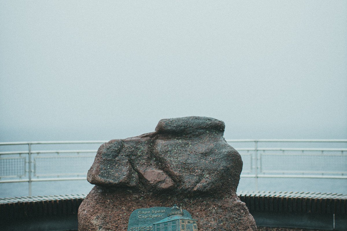
The Mackinac Bridge sets you down right in St. Ignace, and most visitors treat the town as a bathroom break before pushing on. Don’t. Early mornings here, fog from the Straits of Mackinac often swallows the bridge towers entirely, leaving just the deck suspended in gray. Ferry docks to Mackinac Island line the waterfront, and if you’re arriving from Detroit or Chicago, this is your natural first overnight after a five-to-six-hour drive.
Pair it with: Brevort, 20 minutes west on US 2, for the quieter lakeshore version of the same fog.
Brevort, Michigan
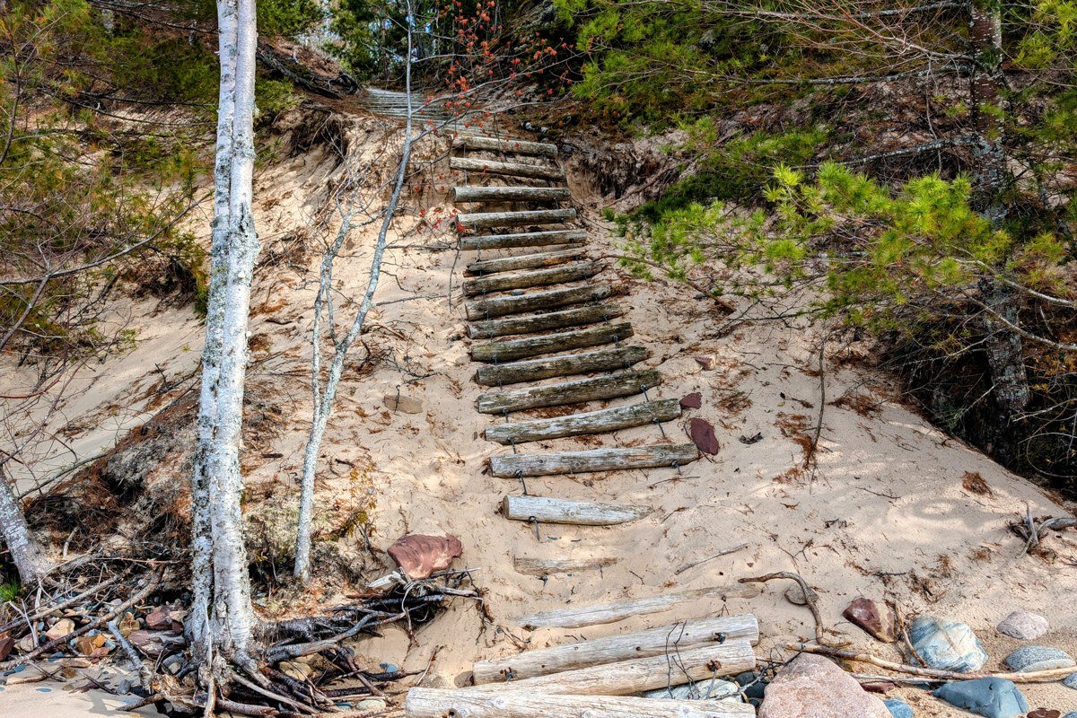
Blink on US 2 and you’ll miss Brevort entirely, just a boat launch and a handful of cabins tucked along the lake. The sand beaches here stretch empty even in July. Fog sits lower over the dunes than it does over open water, so you get a layered look: clear sand, a gray middle band, then trees poking out above it. This is where I’d camp over St. Ignace if you want quiet; several small campgrounds along the lake take reservations, and sites go fast on summer weekends.
Pair it with: Naubinway, 35 miles west, for a longer stretch of the same empty US 2 shoreline.
Naubinway, Michigan
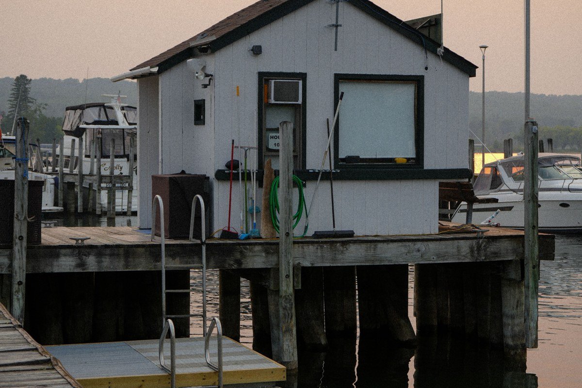
Naubinway is a working fishing harbor, not a resort town, and that’s the appeal. Commercial whitefish boats still go out of here, and on foggy mornings you’ll see them idle at the dock waiting for visibility to lift before heading onto Lake Michigan. The Fiborn Quarry Historical Society’s small maritime museum downtown is worth twenty minutes if it’s open, but mostly this is a place to stand on the breakwall and watch weather move.
Pair it with: St. Ignace, 50 miles east, to close the loop back toward the bridge.
The Seney Stretch and Inland Fog Pockets
Between the eastern shoreline and Munising, US 2 and M 28 cut through a flat, swampy stretch locals call the Seney Stretch, long straightaways through state forest where fog pools in low ground even when the coast is clear. It’s the part of the drive people complain about, and also the part that produces the eeriest light.
Seney, Michigan
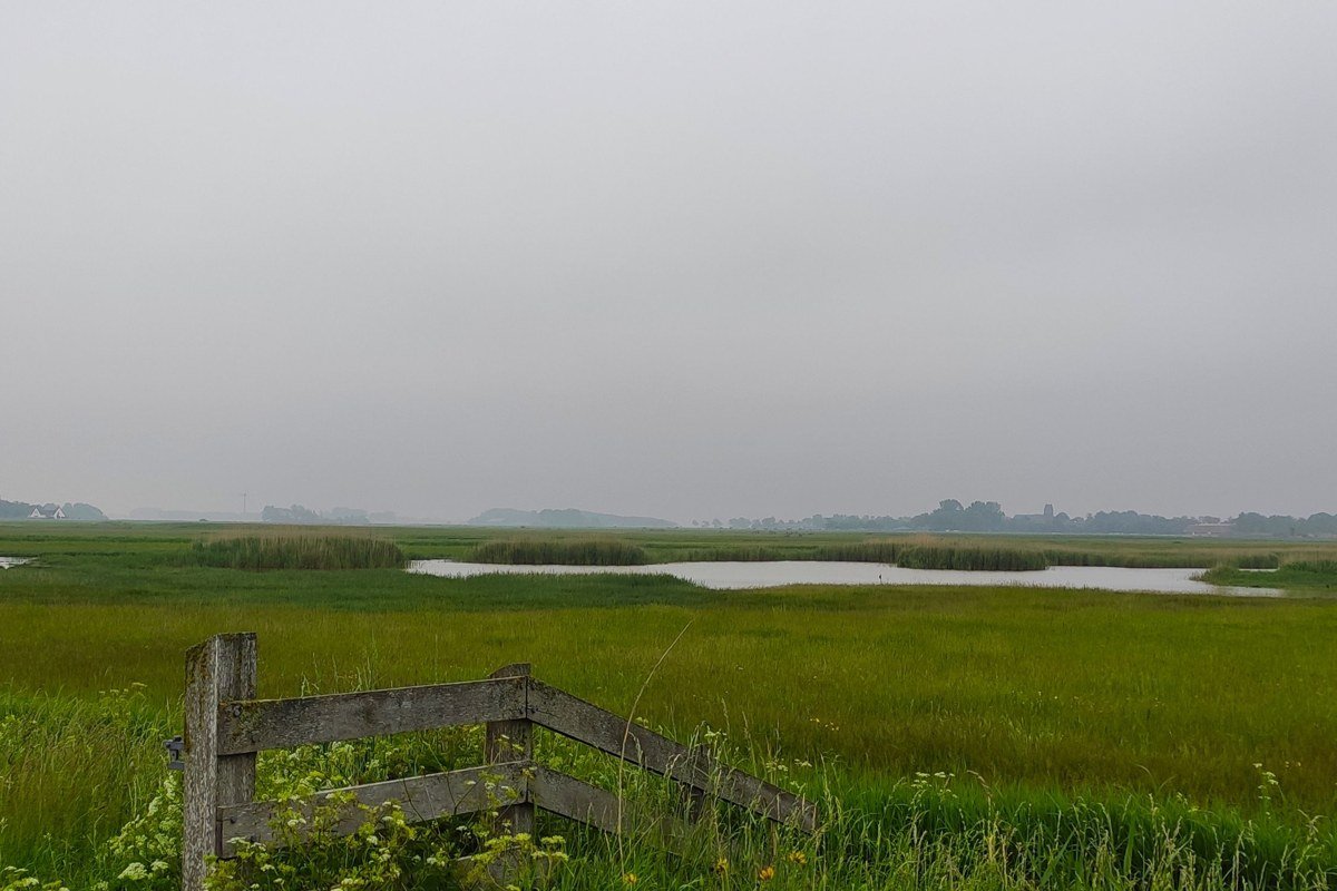
Seney itself is tiny, but the Seney National Wildlife Refuge just south of town is the reason to slow down. Fog settles into the marsh here most mornings from late spring through midsummer, and the wildlife drive loop, open seasonally, gives you close looks at sandhill cranes and trumpeter swans moving through the mist. The visitor center keeps shorter hours outside summer, so check before you detour off M 28.
Pair it with: Grand Marais, 25 miles north on county roads, for the coastal counterpart to this inland fog.
Grand Marais, Michigan
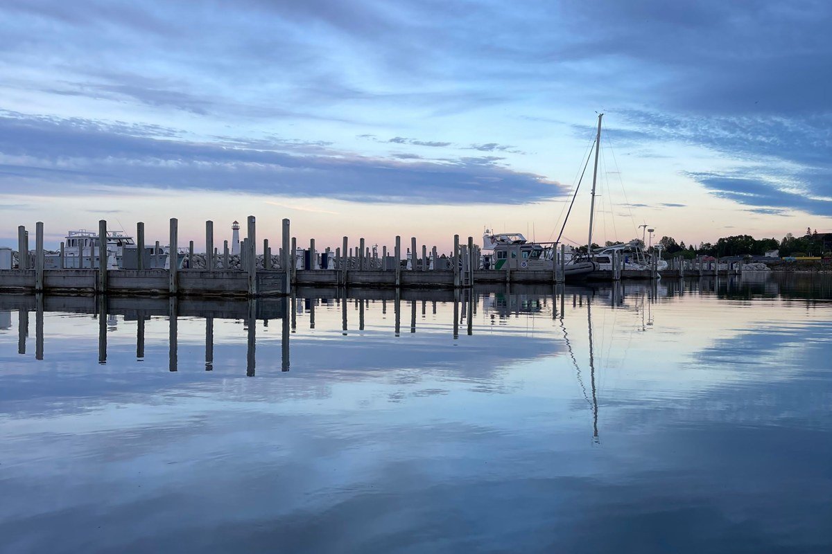
Here’s where the drive stops being pretty and starts being strange. Grand Marais sits right where Lake Superior starts to dominate the landscape, marking the eastern edge of Pictured Rocks National Lakeshore, and the fog here behaves nothing like the fog back on Lake Michigan. It comes off Superior itself, thick and sudden and sometimes gone in twenty minutes flat, and locals use the Grand Marais Light at the harbor mouth the way other towns use a water tower, as the thing you aim for when you can’t see much else. Past the harbor, the pavement runs out; the road to the Log Slide and Grand Sable Dunes is gravel and washboard for stretches, and this is your last reliable gas and food stop before it, fog or no fog. The Lake Superior Brewing Company’s pub, housed in an old schoolhouse, is the kind of place where the bartender will tell you whether the Log Slide is worth the drive that day, which matters more than any forecast.
Pair it with: Munising, 45 minutes west on M 28, for the start of the Pictured Rocks cliffs.
Pictured Rocks to Marquette
This is the stretch most people actually picture when they imagine Upper Peninsula Michigan: sandstone cliffs, waterfalls, and Lake Superior stretching past the horizon. It’s also where the crowds concentrate, so timing and parking matter more here than anywhere else on this list.
Munising, Michigan
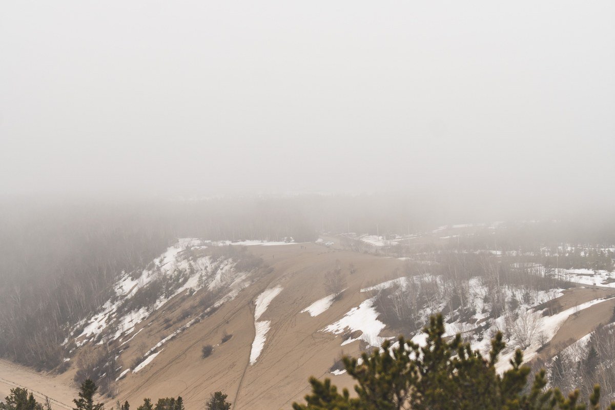
Munising is the base camp for Pictured Rocks, and in peak summer its small downtown parking fills early for the boat tour docks and the falls trailheads. Michigan’s waterfalls are overwhelmingly concentrated in the UP, and several of the best, Munising Falls and Wagner Falls among them, sit a short walk from pullouts right in town. Fog tends to burn off the cliffs by midmorning here, so the boat tours running early departures often get the moodiest views, while later tours get clearer photos of the rock color itself.
Pair it with: Marquette, about an hour southeast on M 28, for the region’s only real city stop.
Marquette, Michigan
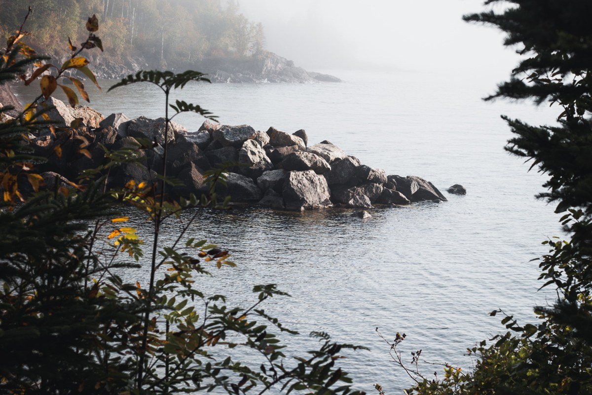
Marquette is the closest thing the UP has to a city, and it’s still a place where fog off Lake Superior can erase the ore dock and lighthouse from view by late morning. Sawyer International Airport, a former Air Force base south of town, offers limited commercial flights, usually connecting through Detroit or Chicago, making it the easiest air option for the whole peninsula. Presque Isle Park, a wooded peninsula jutting into the lake right in town, is the best single spot to watch fog roll in without driving anywhere. After a day outside, the Vierling Restaurant downtown does a whitefish dinner with a view of the harbor, the closest thing Marquette has to a standing dinner reservation.
Pair it with: Munising, for the waterfall-and-cliffs day before settling into a Marquette restaurant for dinner.
Big Bay, Michigan
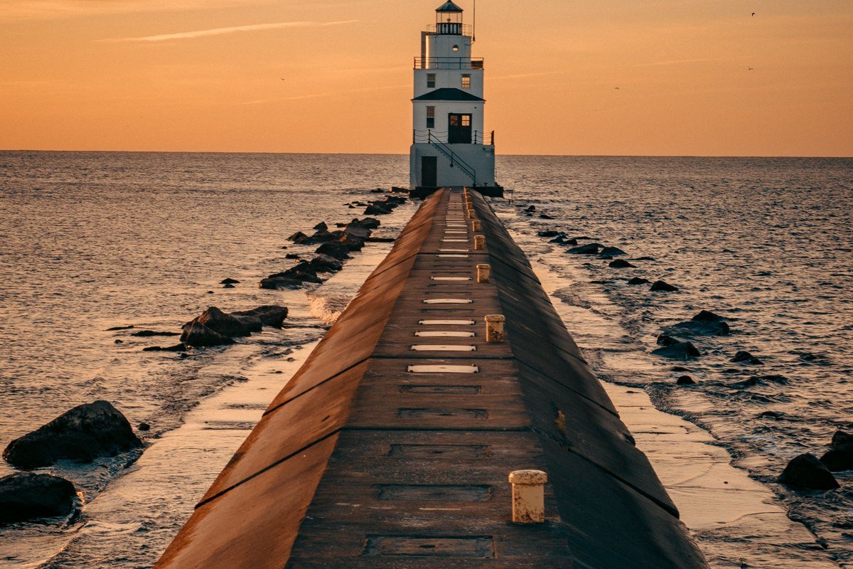
Thirty minutes north of Marquette, the road just stops. Big Bay sits on a dead end along Lake Independence and Lake Superior both, reached by County Road 550, which runs close enough to the shoreline that fog drifting off Superior crosses the pavement in patches, headlights-on territory even at noon. Perkins Park, right on the lake, has a small municipal campground where sites back up almost to the water. The old Big Bay Point Lighthouse, now a bed-and-breakfast, marks about as far as casual travelers push into the Huron Mountains area; the land beyond it belongs to the private Huron Mountain Club and stays off-limits regardless of how empty the gate looks.
Pair it with: Marquette, 25 minutes back down 550, for gas, groceries, and the last reliable cell signal.
The Keweenaw’s Quiet Edge
The Keweenaw Peninsula juts so far into Lake Superior that locals call it the fingertip, roughly 100 miles north of Marquette. It gets noticeably colder and foggier than the rest of the UP, with lake-effect weather that lingers into what should be late spring. Fewer visitors make it this far, which is exactly the point.
Copper Harbor, Michigan
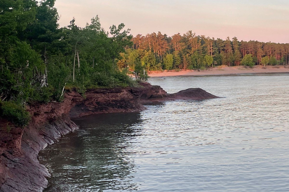
You run out of Michigan here. Copper Harbor sits at the end of US 41, a three-hour haul north from Marquette, and the fog off Lake Superior mixes with air that runs genuinely cold, often 10 to 15 degrees cooler than Marquette on the same summer day, which means a real jacket in July isn’t optional. The Mount Bohemia ski hill nearby draws a strange winter crowd of its own, but most of the town, including lodging and the Isle Royale ferry schedule, scales back hard after Labor Day and shuts down for the season. Treat this as a summer-and-early-fall destination, not a year-round one, and budget the full three hours back; there’s no shortcut out of the Keweenaw once you’ve committed to the drive in.
Pair it with: nothing, really. This is the turnaround point. Head back down the peninsula toward Houghton when you’re ready to rejoin the rest of the trip.
Planning Notes
- Best season: late May through September for easiest road conditions and the fullest range of open services.
- Time zone: the entire UP runs on Eastern Time, same as Detroit, which trips up visitors driving north out of Wisconsin’s Central Time.
- Winter caveat: snow tires, early dark, and long gaps between open gas stations; several Keweenaw businesses close entirely after Labor Day.
- If you only have a long weekend: drive the Pictured Rocks to Marquette cluster. It’s under three hours from Green Bay, Wisconsin, or about six from Chicago or Detroit, and it covers the waterfalls, the cliffs, the one real city, and reliable fog without the extra day the Keweenaw demands.