Guadalupe Mountains Is the Texas Park Everyone Forgets Next to Big Bend: 8 Reasons to Stop There Too

Big Bend National Park in Texas gets the postcards: the river canyons, the Chisos Basin sunsets, the border wall debates, the darkest skies in the lower 48. Guadalupe Mountains National Park, two and a half hours north, gets almost nobody. That’s the gap worth exploiting. One holds the record books for stargazing and solitude, the other quietly holds the actual highest point in Texas, and running them together turns a one-park trip into a proper West Texas expedition.
This loop covers roughly 520 miles over 5 to 7 days, starting and ending in Midland-Odessa, Texas, the easiest airport fly-into point for this corner of the state. It runs south through the Big Bend region first, then swings north to the Guadalupes before closing the loop. Pack more water than you think you need. Gas stations thin out fast once you leave the interstate.
Stop 1: Midland-Odessa, Texas
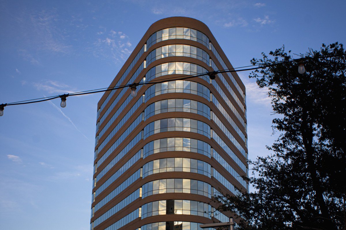
This is your staging stop, not a destination in itself. Rent the car here, stock up on groceries and a cooler of ice, and fill the tank completely, because the next real supermarket is hours away. Midland-Odessa sits in the Permian Basin, still one of the country’s busiest oil-producing regions, and you’ll see pumpjacks nodding along the highway for the first hour of driving no matter which direction you head. If you have a spare few hours, the Petroleum Museum covers the basin’s history and gives kids something to do before a week of hiking.
Next leg: About 3.5 hours south on TX-137 and US-67 to Marfa.
Stop 2: Marfa, Texas
Marfa is the detour people argue about, a tiny high-desert town known for Donald Judd’s permanent installations at the Chinati Foundation and the unexplained Marfa Lights that gather crowds after dark at the official Marfa Lights Viewing Area, a roadside pullout on US-90 about nine miles east of town. It’s touristy in a way nothing else on this loop is, with boutique hotels and coffee shops that feel transplanted from Austin. Spend one night here, see the lights, and don’t let anyone talk you into a second day unless you’re genuinely into contemporary art.
Next leg: About 1.5 hours southeast on US-90 and TX-118 to Big Bend National Park.
Stop 3: Big Bend National Park, Texas
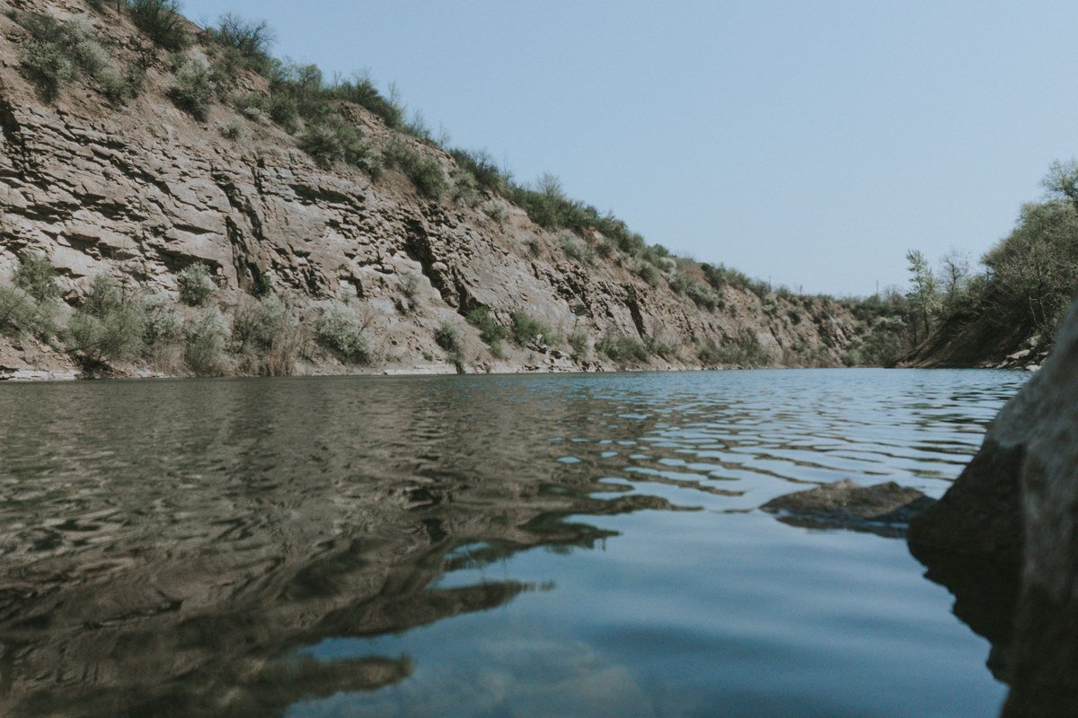
This is the anchor of the whole trip and the reason most people are searching for Big Bend Texas in the first place. The park sits where the Rio Grande makes its namesake hook, and inside its boundary you get desert, river canyon, and sky-island mountains in the same afternoon. Entrance is $30 per vehicle, good for seven days. Santa Elena Canyon, where the river has cut a 1,500-foot sheer wall, is the single most photographed spot in the park, but the Chisos Basin is where you actually want to stay, since it’s the only lodging inside the park. Rooms at Chisos Mountains Lodge run roughly $150 to $200 a night depending on season, and they book out months ahead for spring break.
Big Bend Texas night sky viewing is the park’s real claim to fame. It holds some of the lowest light pollution of any national park in the country, and on a clear new-moon night the Milky Way casts a visible shadow. If Big Bend Texas stargazing is your main goal, time the trip around the new moon rather than just a season, and bring a red headlamp so you don’t wreck your night vision or everyone else’s.
On the Big Bend National Park best time to visit question, the honest answer is late fall through early spring, roughly November through April. Summer here isn’t just hot, it’s dangerous-hot, with heat indices that climb past 100°F and stay uncomfortably high overnight, especially down in the river corridor. Spring break weeks are the most crowded by far, so if solitude matters more than warm days, aim for January or early December.
The Big Bend Texas border wall question comes up constantly, and the short answer is there isn’t one running through the park itself. The Rio Grande here is shallow, often walkable, and the border infrastructure that exists is concentrated near official crossings, not strung along this stretch of river. Don’t expect to see a wall from any overlook; you won’t.
Give this stop a minimum of three full days. Two if you’re brutal about it, but you’ll regret skipping either Santa Elena Canyon or a sunrise hike up Lost Mine Trail.
Next leg: About 45 minutes northwest on TX-118 and TX-170 to Big Bend Ranch State Park.
Stop 4: Big Bend Ranch State Park, Texas
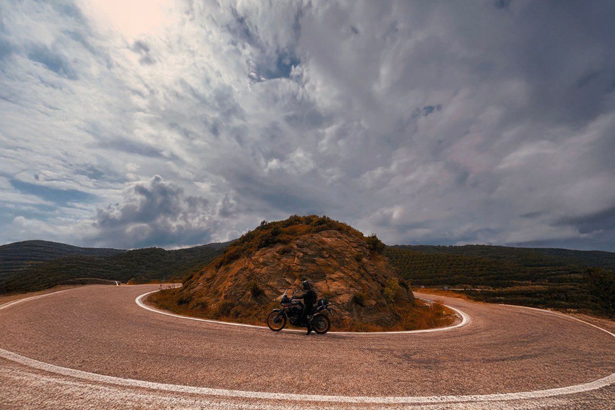
This is the Big Bend Texas state park half of the pairing, and it’s the one most road-trippers skip entirely, which is a mistake if you have even one extra day. It’s larger than the national park next door, far less developed, and the FM 170 drive along the river through here, often called the River Road, is one of the more dramatic stretches of pavement in the state. Entrance is $5 per person. Facilities are minimal and cell service is nonexistent, so this is not the stop for spontaneity. Check conditions before you go: FM 170 floods and closes for days at a time after heavy rain, particularly through the low-water crossings near Lajitas, and there’s no detour, just a wait.
Next leg: About 1 hour west on TX-170 and US-67 to Presidio, then north toward Fort Davis via TX-17, roughly 2 hours total.
Stop 5: Fort Davis, Texas
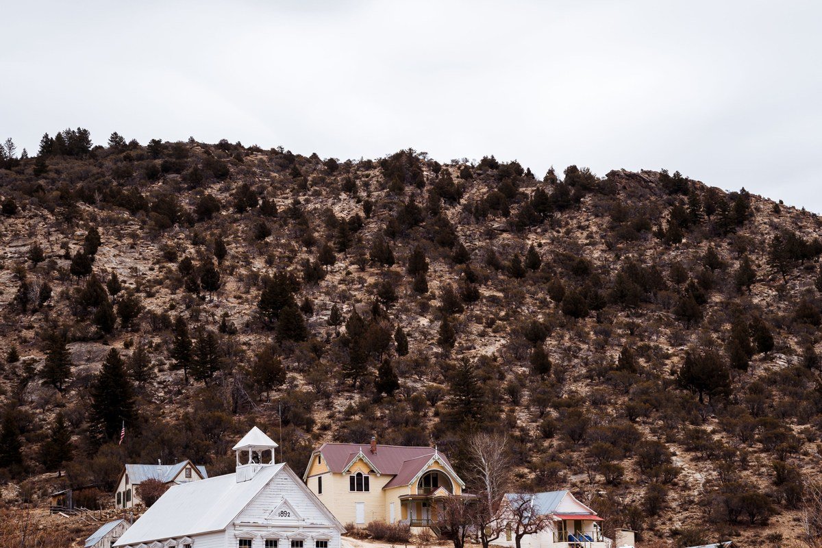
Fort Davis sits in the Davis Mountains, cooler and greener than the desert floor you just left, and it’s home to the McDonald Observatory, one of the premier research telescope sites in the country. If the Big Bend park’s night sky program is booked up or you want a more structured astronomy experience, this is the backup, and arguably the better one. The observatory runs ticketed Star Parties several nights a week, with general admission around $20 for adults, and the visitor center was built specifically for public stargazing programs. The restored fort itself, a frontier-era military post, is worth an hour even for non-history buffs; entrance is $7.
Next leg: About 2.5 hours north on TX-17, I-10, and US-54 to the Guadalupe Mountains.
Stop 6: Guadalupe Mountains National Park, Texas
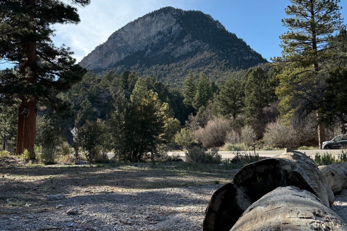
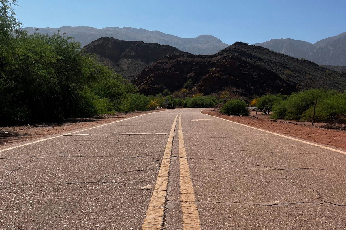
Here’s the pivot of the whole trip. Guadalupe Mountains National Park holds Guadalupe Peak, the actual highest point in the state of Texas at 8,751 feet, and almost nobody visiting Big Bend ever makes the drive up here. Entrance is $10 per person, good for seven days, well under half of Big Bend’s fee. The park gets a fraction of Big Bend’s visitors, which means trailheads without crowded parking lots and a backcountry campground system that still has availability on weekends when Big Bend’s is slammed.
The signature hike is the Guadalupe Peak Trail, a tough but non-technical 8 to 9 mile round trip that gains over 3,000 feet. Do it in cooler months; there’s almost no shade and the exposed ridge near the top gets serious wind. If a full-day summit push isn’t in the cards, McKittrick Canyon is the park’s other headline draw, especially in late October and early November when its bigtooth maples turn a shade of red and orange that genuinely surprises people who assumed Texas didn’t do fall color.
If you want to camp in the backcountry, permits are required and issued in person at the Pine Springs or Dog Canyon visitor center, first-come first-served, for $8 per night per site (groups up to 6). Reservations through Recreation.gov are also available up to six months out for some sites. Bring your own water; there’s none at the backcountry sites.
Facilities here are sparse by design. There’s no lodge, no restaurant, and no gas station inside the park, so fuel up in Van Horn or Carlsbad before you arrive. The visitor center at Pine Springs is the only real hub. This scarcity is exactly why the park stays quiet, and exactly why it earns a stop on a trip that’s otherwise built around Big Bend’s fame.
Next leg: About 35 minutes north on US-62/180 to Carlsbad Caverns, just across the New Mexico state line, or skip it and head straight back toward Midland for the loop’s return leg.
Stop 7: Van Horn, Texas
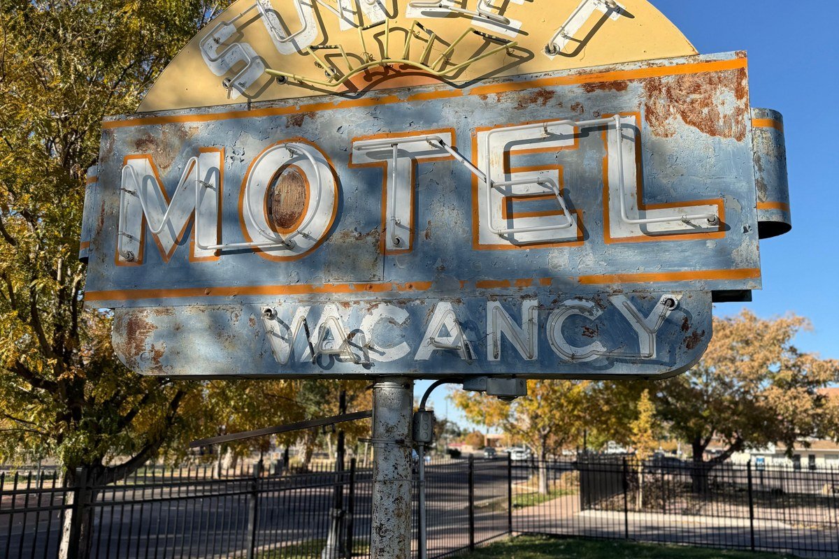
Van Horn is a practical stop, not a scenic one, but it earns its place as the last reliable fuel and food point before the long haul back east. It sits at the crossing of I-10 and old US-90, a classic West Texas waypoint with motor-court motels that have been serving road travelers since well before the interstate existed. Top off the tank here; the stretch back toward Midland has long gaps between exits with services.
Next leg: About 3 hours east on I-20 back to Midland-Odessa.
Stop 8: Monahans Sandhills State Park, Texas
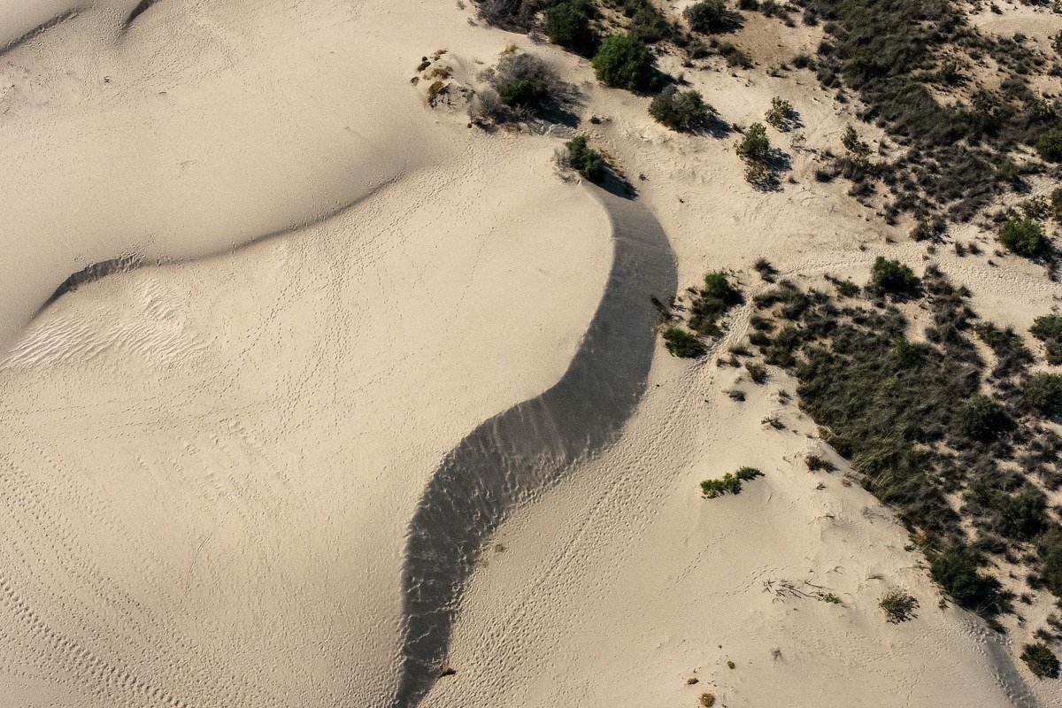
The last stop before the loop closes, and the one nobody expects. Monahans Sandhills is a field of active dunes rising out of the flat Permian Basin scrubland, about 30 minutes west of Odessa and barely out of the way on the final stretch into Midland. Entrance is $4 per person, and sand disc rentals are available at the park office for about $3 for two hours. It’s a strange, fun half-day detour, sled a few dune faces, then keep driving, that resets the mood after days of mountains and canyon.
Doing it in reverse
Running this loop backward works just as well and actually suits travelers flying into El Paso, Texas instead of Midland. Start at Guadalupe Mountains National Park (about 1.5 to 2 hours from El Paso), swing down through Van Horn and Fort Davis to Big Bend Ranch State Park and Big Bend National Park, then loop up through Marfa and back to Midland. Total driving distance is the same roughly 520 miles as the forward route; running it this direction just front-loads the Guadalupes instead of saving them for the end.
If you only have 3 days
Cut it down to Big Bend National Park and Guadalupe Mountains National Park, full stop. Fly into El Paso, Texas, drive roughly 1.5 to 2 hours to the Guadalupes for a morning summit of Guadalupe Peak or a McKittrick Canyon walk, then push south about 4.5 hours to Big Bend for two nights, prioritizing Santa Elena Canyon and a clear-night stargazing session in the Chisos Basin. That’s a little over 6 hours of driving total, not counting the return to El Paso. You’ll miss Marfa’s art scene and the Davis Mountains observatory, but you’ll walk away having seen both ends of what makes this part of Texas worth the drive: the state’s loneliest desert river and its actual highest peak.