
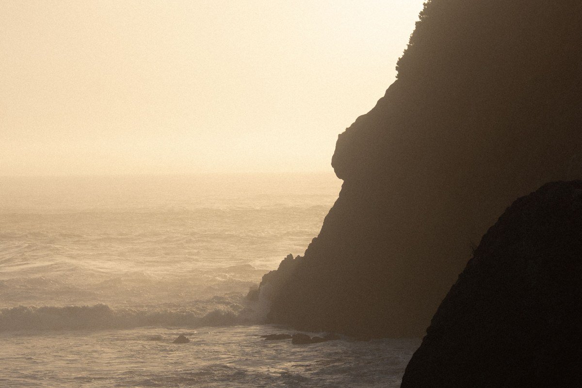
The foggiest, most cinematic stretches of the Oregon Coast are concentrated between Cannon Beach and Bandon, where sea stacks and headlands interrupt low marine fog and make it swirl, roll, and pulse instead of just sitting there. That movement is the whole effect: still fog is just weather, but fog dragging itself around a 235-foot rock at Bandon looks like it’s breathing.
I picked these nine by thinking about where geography does the work. Fog needs something to catch on. A flat, featureless beach gets blanketed and stays blanketed. A beach with sea stacks, headlands, or river mouths gets fog that eddies, lifts, and re-forms in front of you, which is the difference between a gray morning and something that stops you on the highway shoulder with your phone out.
| Place | Best for (fog behavior) | Getting there |
|---|---|---|
| Cannon Beach, Oregon | Haystack Rock appearing in stages, top first | 80 miles / 1.5 hrs from Portland via US-26 |
| Ecola State Park, Oregon | Looking down onto the fog layer from above | 2 miles north of Cannon Beach, steep park road |
| Oswald West State Park, Oregon | Fog pooling in a sheltered cove, slow to clear | 10 miles south of Cannon Beach on US-101 |
| Cape Meares, Oregon | Fog erasing the lighthouse top-down | 10 miles west of Tillamook on Three Capes Scenic Route |
| Cape Kiwanda, Oregon | Sea stack appearing to float free of the water | 45 min from Tillamook via Three Capes Loop |
| Depoe Bay, Oregon | A thin fog layer trapped inside a narrow harbor | 1 hr from Newport, on US-101 |
| Cape Perpetua, Oregon | Fog filling coves below while the headland stays clear | 3 miles south of Yachats on US-101 |
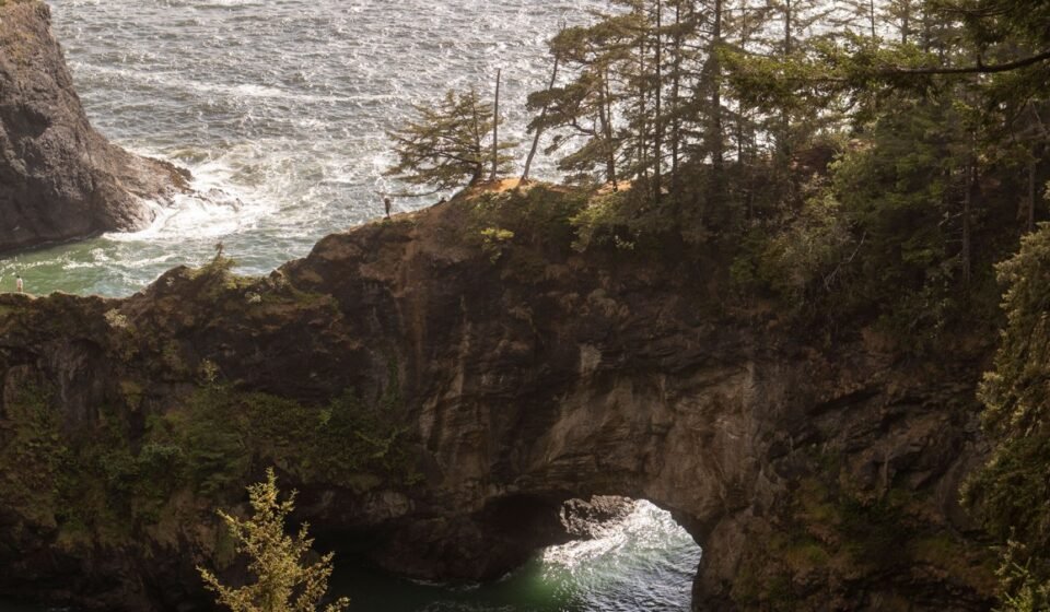
| Samuel H. Boardman Scenic Corridor, Oregon | Fog pooling in deep gullies below cliff-edge pullouts | Between Brookings and Gold Beach, US-101 |
| Bandon, Oregon | Fog threading between clustered sea stacks | 90 miles / 2 hrs from Eugene via OR-38 and US-101 |
Cannon Beach, Oregon
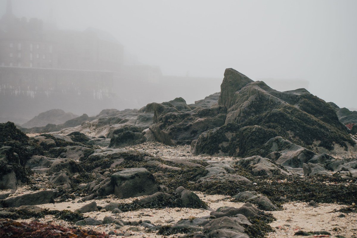
Cannon Beach is where most people meet Oregon fog for the first time, and it earns that role. Haystack Rock sits close enough to shore that on a foggy morning it appears and disappears in stages, the top visible while the base is still swallowed, then the whole thing gone for a few minutes before the wind opens a window again. Go at low tide so you can walk the tide pools near the base while this happens (check a tide chart the night before; the pools at the north end are best within about an hour of the low), and go early, before the beach fills with day-trippers from Portland. The town itself gets crowded in July and August, so if you want the fog without the foot traffic, a weekday in late spring is the better bet.
Ecola State Park, Oregon
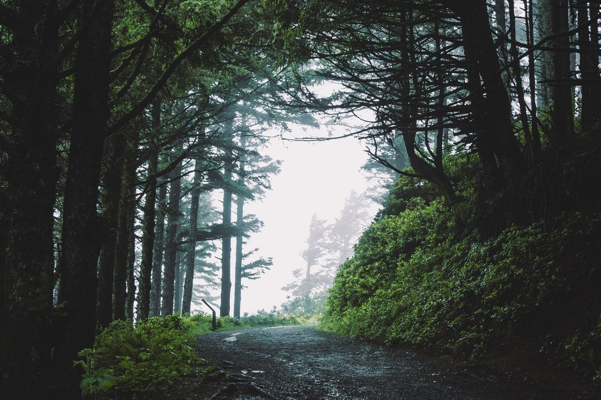
Ecola gives you elevation, which changes the whole experience. From the main viewpoint, just past the first parking area at the end of the park road, you’re often looking down onto the fog layer rather than standing inside it, watching it move across Indian Beach and Crescent Beach like a slow tide of its own. Oregon State Parks charges a $5 day-use fee at the entrance, and the access road is narrow and switchbacks through Sitka spruce, so it’s not a spot to rush. Come an hour or two after sunrise; the marine layer here tends to burn off earlier than it does right on the beach.
Oswald West State Park, Oregon

This one asks more of you. There’s no drive-up ocean view; you park along US-101 and walk roughly half a mile through old-growth forest to reach Short Sand Beach, and on a foggy day that walk feels like descending into something. The cove is sheltered by headlands on both sides, so fog pools here even when it’s burning off elsewhere on the coast. Surfers paddle out anyway, dark shapes going quiet and gray past the third set of rocks north of the creek mouth, then gone.
Cape Meares, Oregon
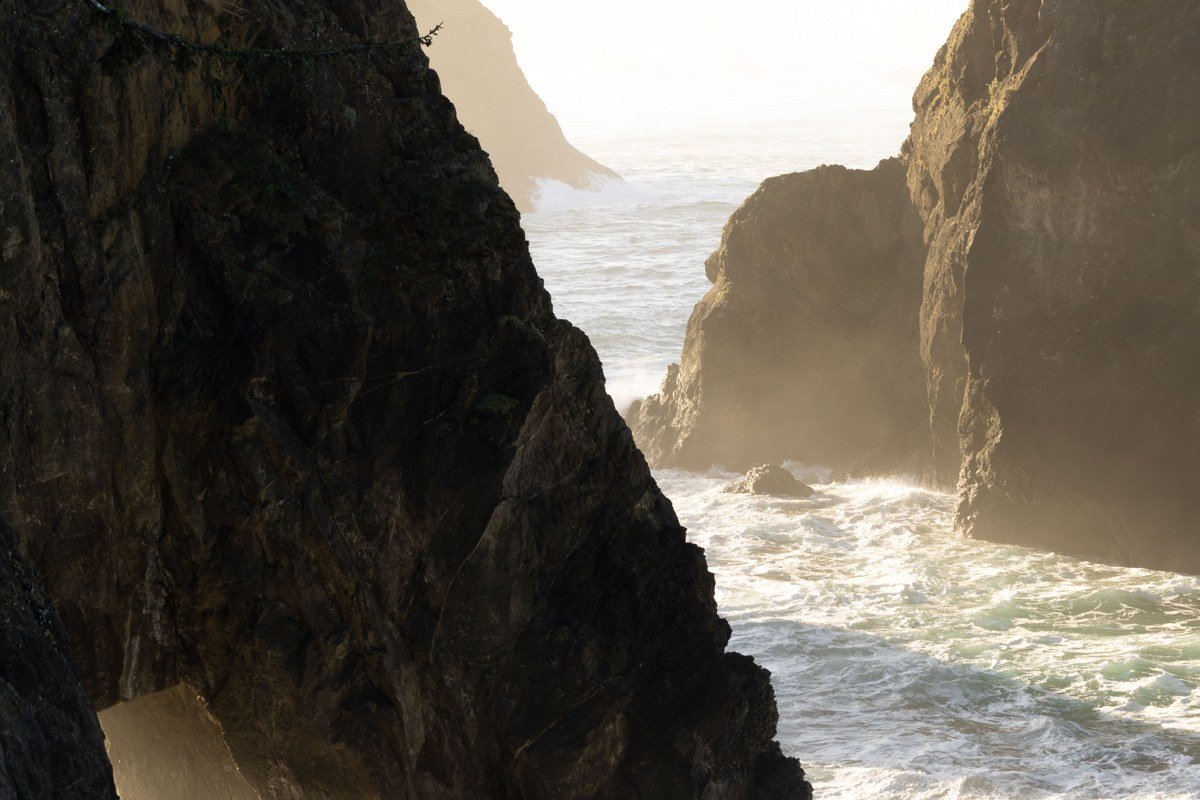
Cape Meares gets skipped by people sticking to US-101, since it’s a detour onto the Three Capes Scenic Route, and that’s exactly why it’s worth the extra twenty minutes. The lighthouse here is small and squat compared to the ones further south, just 38 feet tall, and fog tends to erase its upper half first, leaving a strange stub of white against gray cliffs. The road out to the cape is narrow and occasionally closes after winter storm damage, so check conditions before committing if you’re visiting between November and March.
Cape Kiwanda, Oregon
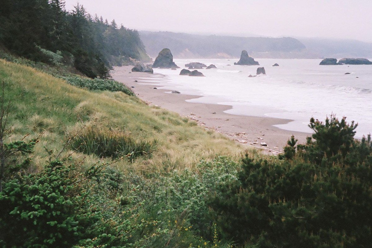
Cape Kiwanda pairs a sandstone headland with a lone, dramatic sea stack just offshore, and in fog the stack seems to float free of the water entirely. This is also where Pacific City’s dory fleet launches directly off the beach, flat-bottomed boats punching through the surf, and watching them vanish into a fogbank just past the breakers is unlike anything else on this list. Parking fills fast on weekends even in the off-season, so arrive before mid-morning. Climbing the dune itself is allowed but the sandstone edges above the cliffs are not stable; stay on the main dune face, well back from the unfenced edge near the cape’s southern point.
Depoe Bay, Oregon
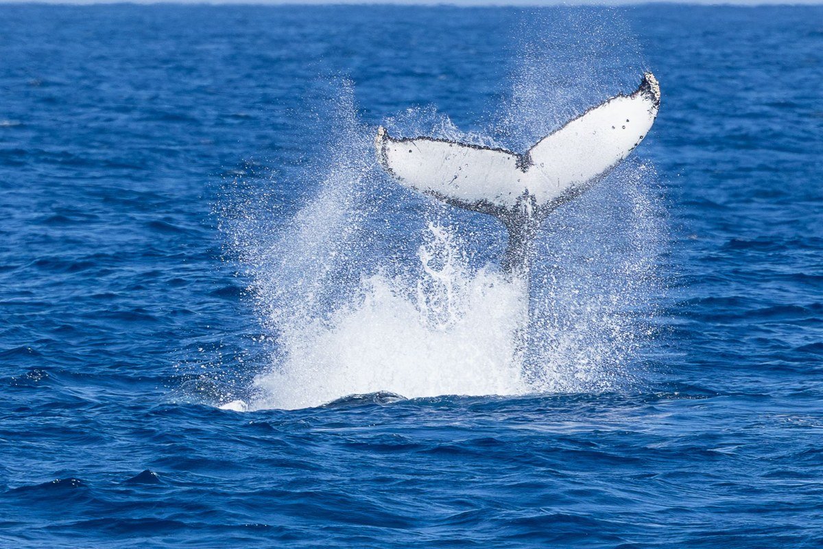
Depoe Bay calls itself the whale watching capital of the Oregon Coast, and the timing question people actually search for, when is the best time for whale watching on the Oregon Coast, has a real answer: gray whales migrate south past here in December and January, and a resident pod feeds offshore through summer, roughly June into September. Fog complicates the boats’ schedules in early morning but rarely cancels them outright, since it tends to lift by mid-morning. The harbor itself, tiny and tucked behind a channel barely 50 feet wide at its narrowest, often holds a thin fog layer even when the headlands on either side are clear, which makes for a strange, localized effect worth parking at the Whale Watching Center lot for, even if you’re not booking a charter.
Cape Perpetua, Oregon
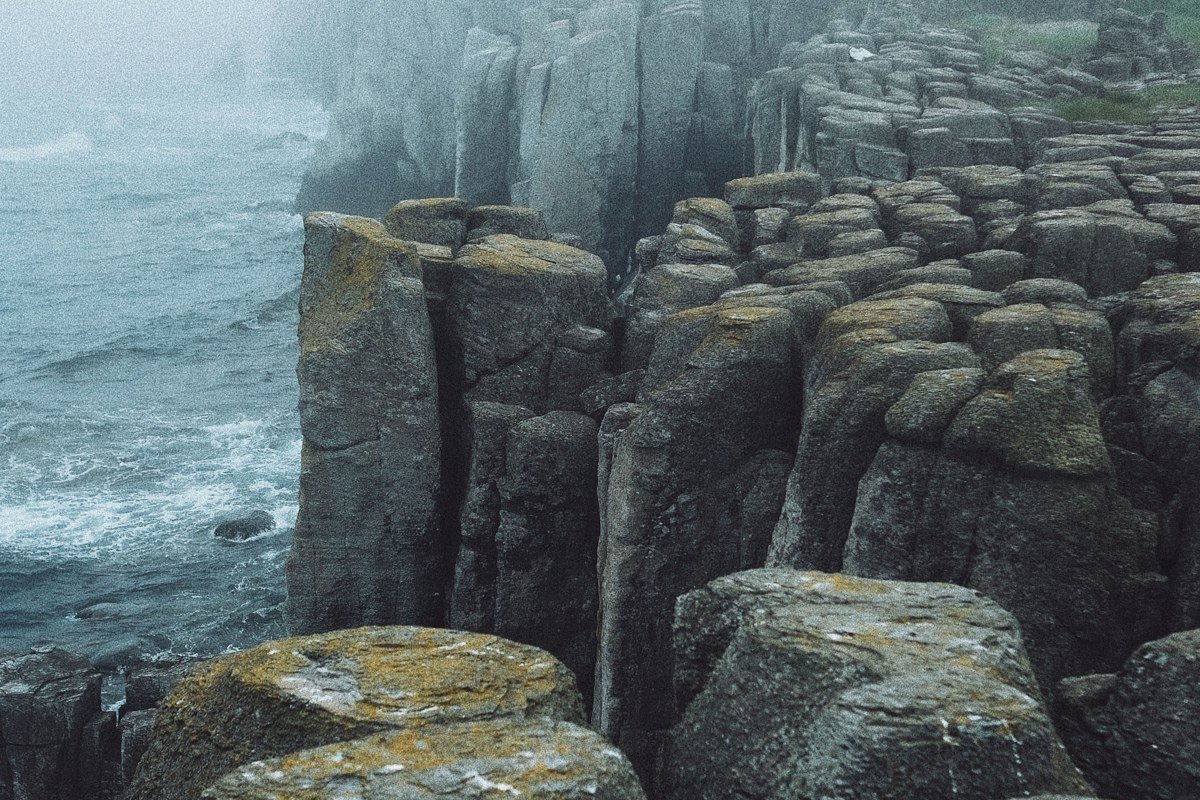
Cape Perpetua is the highest point directly accessible from US-101 on this stretch of coast, and the drive up to the Whispering Spruce viewpoint, at roughly 800 feet, puts you above the fog layer more often than not. From there you can watch fog pour into the coves below, filling and emptying as the wind shifts. The Forest Service visitor center at the base has trail maps for the short hikes through spruce forest nearby, and the Spouting Horn blowhole, about a mile south along the Captain Cook Trail, is worth timing to an incoming tide, fog or not.
Samuel H. Boardman Scenic Corridor, Oregon

This is roughly twelve miles of US-101 south of Gold Beach, strung with named pullouts, Natural Bridges, Arch Rock, Secret Beach, Thomas Creek Bridge, each offering a different angle on fog moving through a genuinely rugged coastline. Unlike the gentler northern beaches, the drops here are sheer, and fog pooling in the gullies below the pullouts has real depth to disappear into. Treat it as a slow drive, not a destination: budget a couple of hours to actually get out of the car at four or five pullouts rather than trying to hit all of them. The Secret Beach trailhead, unmarked and easy to miss about half a mile south of the Thomas Creek Bridge overlook, is the one most people drive past entirely.
Bandon, Oregon
Bandon closes out the list because its beach has the highest concentration of named sea stacks on the whole coast, Face Rock, Table Rock, Elephant Rock, clustered close enough together that fog threading between them creates layered depth you don’t get elsewhere. Low tide exposes a wide beach for walking out among them; at high tide you’re confined to the bluff-top paths and viewpoints. For a quieter angle on the same fog, skip the main beach access and use Face Rock State Scenic Viewpoint itself, a smaller pullout just south of town that gets a fraction of the foot traffic but looks straight down onto the same formations.
FAQ
When is the best time to visit the Oregon Coast for this kind of fog?
Late spring through early summer, roughly May into June, produces the most reliable marine layer, especially in early morning before it burns off. September is often considered the best overall month for the coast generally, with warmer, clearer days, but less dramatic fog.
Is the Oregon Coast Trail walkable in fog, and is it safe?
Most sections are fine in fog as long as you’re not navigating cliff-edge trails near Boardman or Cape Falcon in zero visibility, where staying well back from unmarked edges matters. Check tide tables before any beach-level walking, since several trail segments require crossing points that are only passable at low tide.
Do I need a car to see these spots, and how do I link them into a road trip?
Yes, a car is essentially required; US Highway 101 connects every place on this list and public transit along the coast is limited to a few local bus lines. Most travelers drive the coast over several days from a Portland or Eugene start, stopping overnight in Cannon Beach, Newport, or Bandon, with one to two hours of inland driving needed to reach Interstate 5 if you need to cut the trip short.