
Devils Island has sea caves that boom and hiss when Lake Superior swells hit them just right, and you can only stand inside listening to that sound if someone with a boat got you there. Madeline Island, by contrast, has a car ferry, a grocery store, and a bar that’s been pouring drinks since the 1930s. Both are Apostle Islands. Both are technically “doable” in a day. Only one of them asks anything of you to reach it, and that’s the whole appeal of this archipelago: the effort is the experience.
The Apostle Islands sit in the far north of Wisconsin, a cluster of 22 islands scattered across Lake Superior just off the Bayfield Peninsula. Bayfield itself is about a 3.5 to 4 hour drive from Minneapolis/St. Paul and roughly 1.5 to 2 hours from Duluth, mostly two-lane highway once you’re off the interstate, so budget the better part of a day just to arrive. Weather here is Lake Superior weather: the lake is big enough to generate its own fog banks, its own rogue chop on a day that started flat calm, and water cold enough in July to end a swim in under a minute. Most of the islands are wooded, roadless, and administered as part of Apostle Islands National Lakeshore, so what you’re looking at is mostly the same shoreline that greeted sailors and fur traders a couple hundred years ago, just with better maps.
This is for travelers who want a Midwest trip that feels like an expedition, not a drive-up: people who don’t mind a cold plunge if the sea caves reward it, who’ll put up with a camp stove over a buffet, and who understand that “no cell service past the marina” is a feature.
The Mainland Sea Caves and Bayfield Base Camp
This cluster is your staging ground. Everything else in the islands launches from here, and two of the most photographed features in the whole park are actually on the mainland, not out on the water.
Mainland Sea Caves, Wisconsin
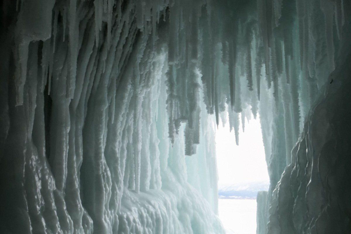
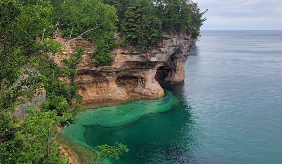
The mainland sea caves near Meyers Beach are the ones everyone’s Pinterest board is built on: reddish sandstone carved into arches, chambers, and tunnels you can paddle a kayak straight into on a calm day. In winter, when the lake freezes thick enough, rangers sometimes open the caves to foot traffic, turning them into a cathedral of blue-white ice columns. That’s a bigger “if” than it sounds: over the last decade, safe ice has only formed often enough to open the caves in a handful of winters, with several years seeing no public access at all. Check the park’s ice conditions page before you drive up. In open-water season, a kayak tour or your own boat is the only way in, since the trail above only lets you peer down at them from a bluff.
Pair it with: Bayfield, 25 minutes southeast on WI-13.
Bayfield, Wisconsin
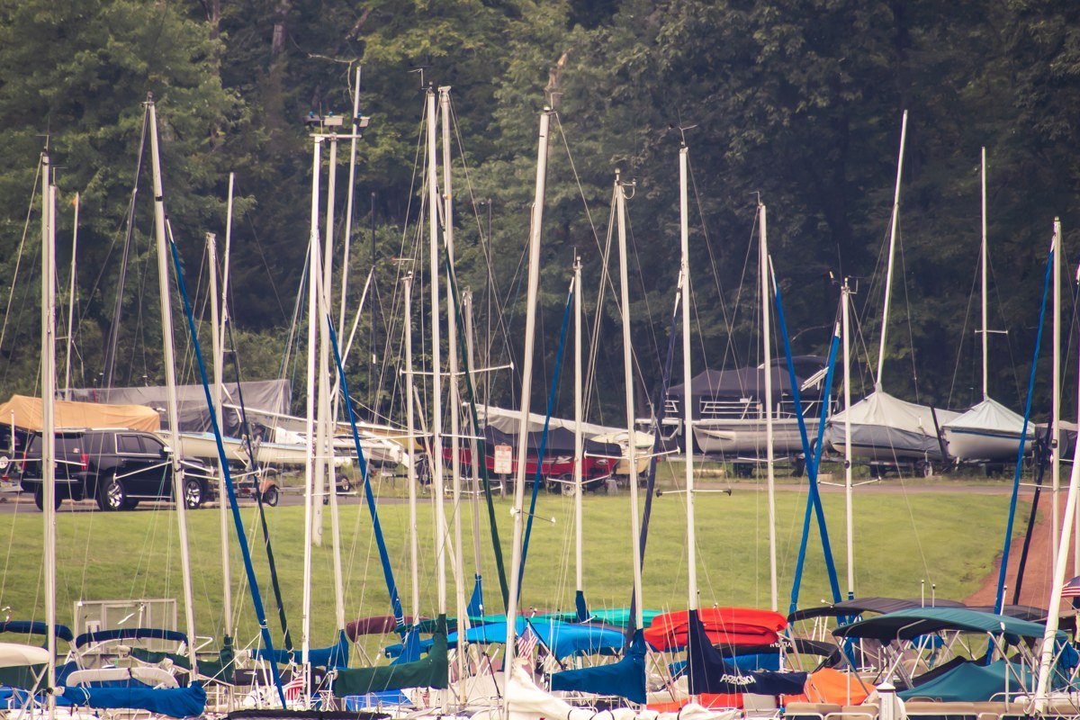
Bayfield is a small Victorian-era harbor town, population well under a thousand, that punches way above its size because it’s the launch point for nearly everything in the Apostle Islands. This is where you catch the sightseeing cruises, book guided kayak tours, buy your camping permits, and load up on groceries before heading out to an island with none. Two long-running operators to know: Apostle Islands Cruises runs the narrated boat tours and water taxi drop-offs, and Living Adventure Inc. runs guided sea kayak tours and rentals out of Little Sand Bay and Red Cliff. Park at one of the public lots near the marina in summer, since street parking fills by mid-morning on weekends; the Apostle Islands National Lakeshore visitor center is here too, in the old county courthouse, and it’s worth ten minutes to check current conditions before you commit to a route.
Pair it with: Mainland Sea Caves, a short drive north on WI-13.
Madeline Island and the Gateway Waters
Madeline is the exception to everything else on this list, and that’s exactly why it pairs so well with the harder-to-reach islands nearby. It’s the only one with year-round residents, a paved road network, and a car ferry, which makes it the easy win before you commit to the wilder stuff.
Madeline Island, Wisconsin
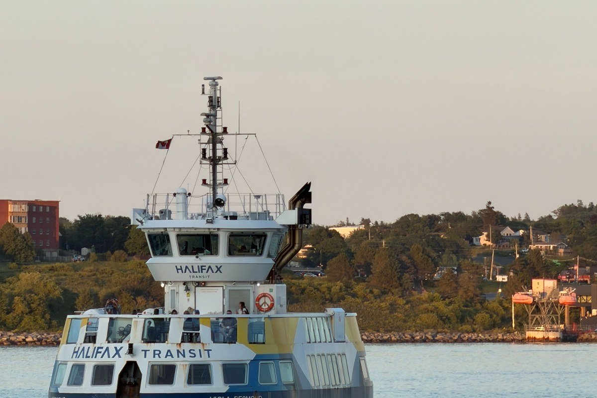
The Madeline Island Ferry Line runs the car ferry from Bayfield to La Pointe, roughly every half hour in peak summer, for a crossing of about 20 minutes (times vary with weather and schedule). A round-trip passenger fare runs a few dollars, with vehicle fares in the 20 to 30 dollar range depending on vehicle length and season; check the ferry line’s current rate sheet before you go, since it’s revised yearly. The town of La Pointe has restaurants, a historical museum, and Big Bay State Park with a sand beach that’s genuinely warm enough to swim at by Wisconsin standards in July and August. It’s the one island where you don’t need a permit, a kayak, or a tour booking to spend the day, which makes it the right call if your group includes kids or anyone unsure about open-water paddling.
Pair it with: Basswood Island, a roughly 15-minute boat ride north for those continuing on to the outer islands.
Basswood Island, Wisconsin
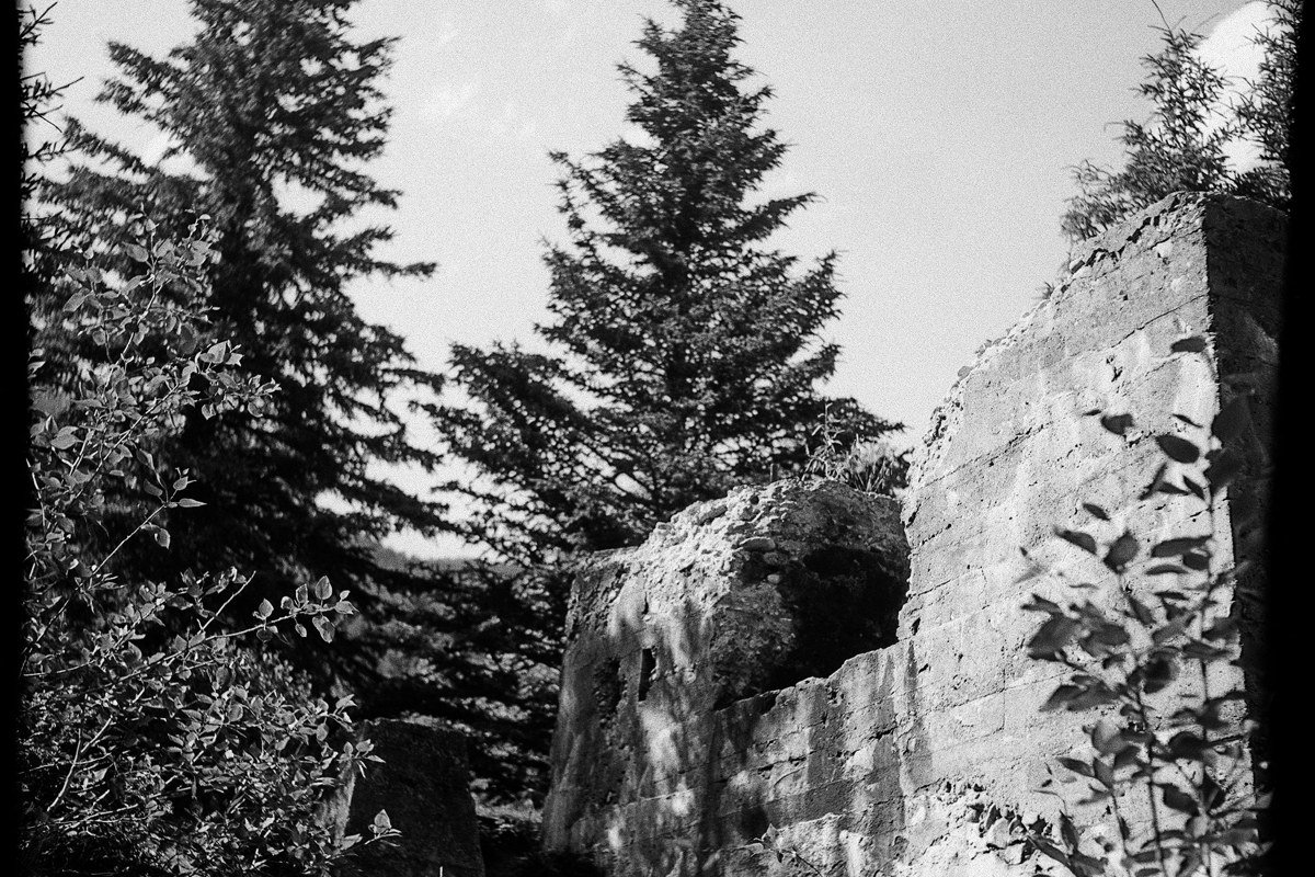
Basswood is one of the closest of the true “boat-only” islands, and it’s an easy first stop for anyone paddling out from Bayfield rather than driving to a dock. Old quarry equipment sits rusting in the trees near the shore, left from a brownstone quarrying operation that shipped building stone out of here in the late 1800s. Camping requires an NPS permit, booked in advance through recreation.gov, at 10 dollars per night per site plus a reservation fee, the same system that covers all the island campgrounds in the park. Beyond the quarry ruins, there’s a short sandstone bluff you can scramble along if the water’s calm enough to land a kayak safely.
Pair it with: Madeline Island, the short hop back toward Bayfield.
The Outer Islands and Lighthouse Chain
This is where the Apostle Islands stop feeling like a lake park and start feeling like true wilderness. Several of the park’s six historic lighthouses sit out here, and reaching them typically means a sightseeing cruise that circles but doesn’t land, a chartered water taxi, or your own seaworthy boat.
Devils Island, Wisconsin
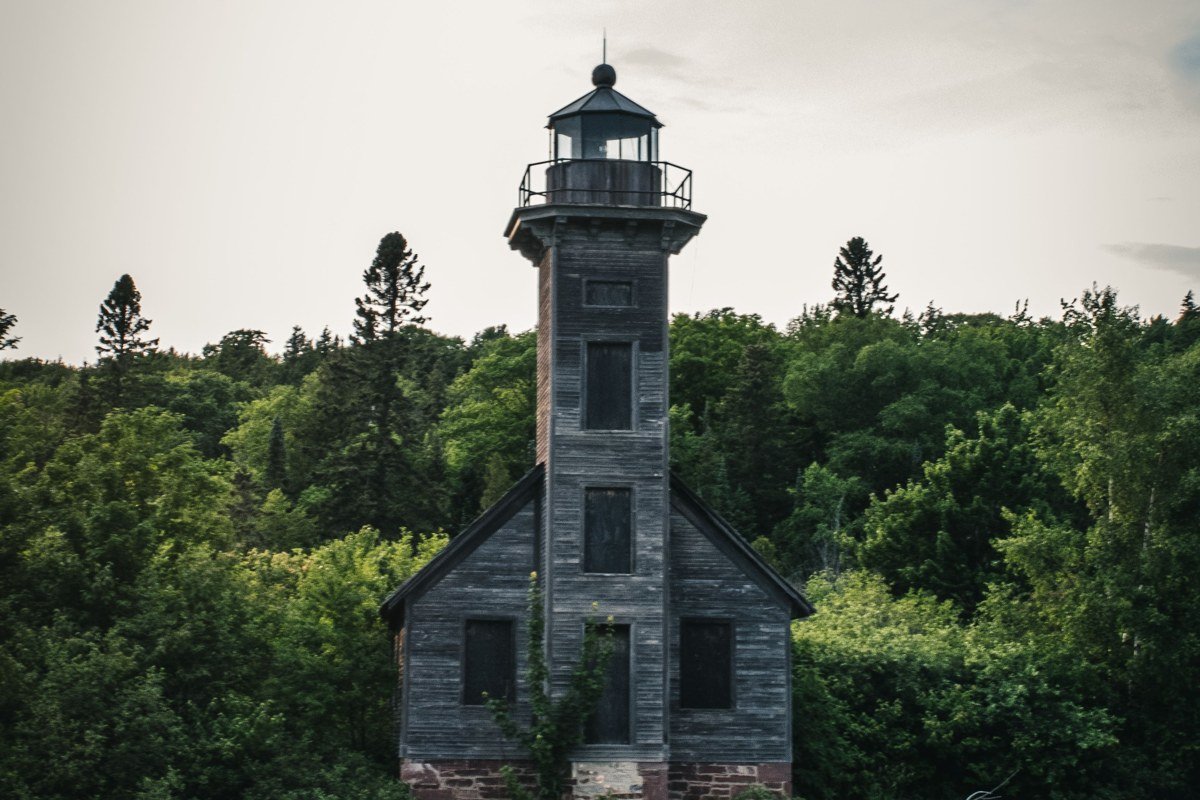
Devils Island sits at the far northern edge of the archipelago, fully exposed to Superior’s open water, and its sea caves are the loudest and most dramatic in the park when wind and waves line up from the north. The lighthouse here, built in the early 1900s, still stands watch over some of the most unpredictable water in the chain. Most visitors see it from the deck of a park service cruise boat, since landing requires calm conditions that don’t come often. If you want to actually walk the island, you need your own boat or a water taxi, arranged through an outfit like Apostle Islands Cruises, and a schedule built around the forecast, not the calendar.
Pair it with: Raspberry Island, roughly 40 minutes south by boat (expect this to run longer in rougher water).
Raspberry Island, Wisconsin
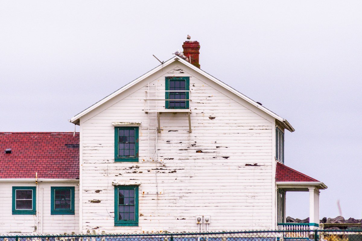
Raspberry Island has the most-visited lighthouse in the park: a Queen Anne-style keeper’s house with a restored garden that National Park Service staff keep up through the summer. It’s also the one lighthouse with a reliably scheduled landing tour rather than a drive-by from the boat deck, run on select days via the concession cruise boats out of Bayfield, with rangers in period dress walking you through keeper life circa the early 1900s. Pick this one if you only have time for a single lighthouse stop.
Pair it with: Devils Island, roughly 40 minutes north by boat, for the sea caves and the wilder lighthouse.
Sand Island, Wisconsin
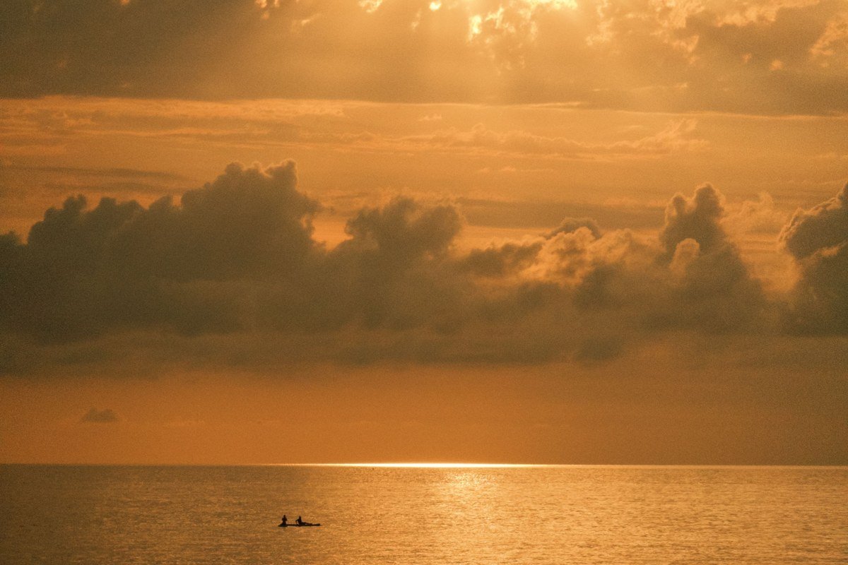
Closer to the mainland than Devils, Sand Island still requires a boat, but the payoff is a quieter set of sea caves, smaller and less crowded than Meyers Beach, and just as photogenic in the right light. A short trail from the dock leads to an 1880s brownstone lighthouse, and a small campground here offers a calmer overnight than Basswood or Oak. The caves are also the most weather-sensitive stop on this list: storms can make them unsafe to approach by kayak with little warning, so treat this as a morning destination, when the lake is most likely to be glassy, not an afternoon add-on.
Pair it with: Raspberry Island, roughly a 30-minute boat ride east.
Oak Island, Wisconsin
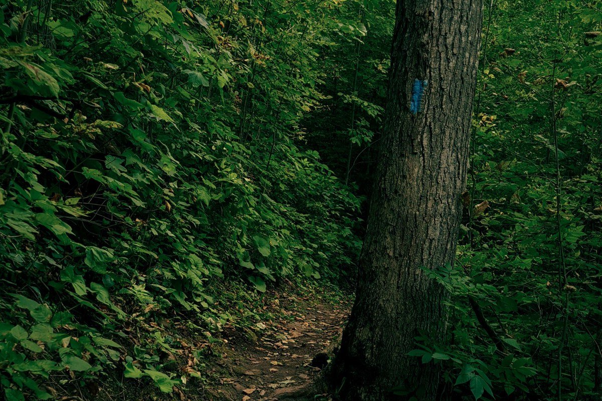
Skip the kayak for this one. Oak Island is the tallest of the Apostles, and its draw is on land: a hike up bluffs high enough over the lake to feel more like a coastal mountain trail than a lakeshore walk. It has the park’s most extensive trail network, several miles of loop trail through old-growth hemlock and maple, and a backcountry campground for those willing to carry gear up from the dock. If every other island on this list is about the water, Oak is the one where serious hikers get their real day hike.
Pair it with: Sand Island, roughly a 20-minute boat ride northwest.
Stockton Island, Wisconsin
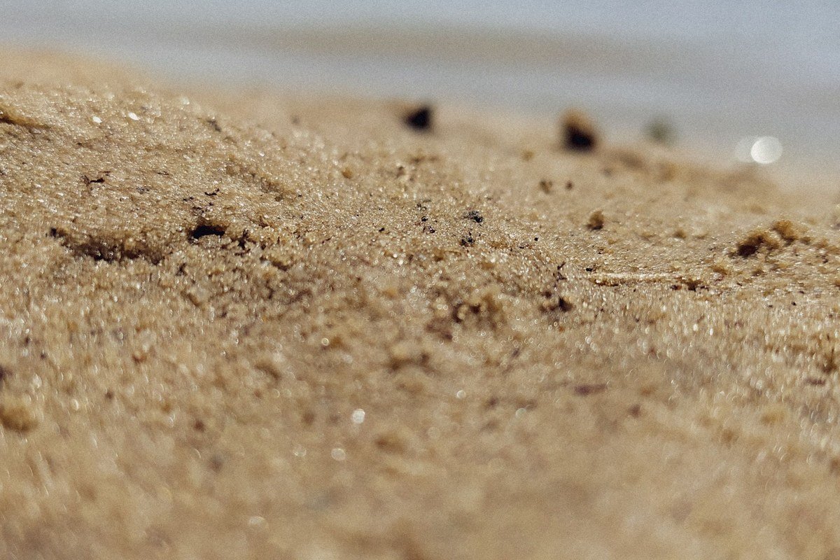
Stockton is the largest island in the group and the most popular for camping: a bigger campground, a ranger station staffed in summer, and Julian Bay, a beach known locally for “singing sand” that squeaks underfoot when it’s dry. Black bears live on Stockton, which is unusual for an island this size, so food storage lockers at the campsites aren’t a formality. Ferries and water taxis from Bayfield run here more often than to the farther-flung islands, which makes Stockton the easiest overnight camping trip for people without their own boat.
Pair it with: Oak Island, a short boat ride northwest, for a two-island camping loop.
Here’s the honest trade-off most people get wrong: Stockton gets called overrated by paddlers chasing solitude, because its popularity means a fuller campground and more boat traffic at the dock in peak weeks of July and August. If that’s not your scene, Sand Island or Oak Island give you a quieter version of the same wooded, lakeshore camping experience with a fraction of the crowd.
Practical logistics, in brief: NPS camping permits for the island campgrounds run about 10 dollars per night per site (plus a small reservation fee) through recreation.gov, booked ahead since sites are limited. The Madeline Island Ferry Line crosses Bayfield to La Pointe in roughly 20 minutes, with passenger and vehicle fares posted on the ferry line’s site (vehicle fares roughly 20 to 30 dollars round trip depending on length). Apostle Islands Cruises, the main concession operator out of Bayfield, runs narrated sightseeing tours and lighthouse cruises typically in the 50 to 70 dollar range per adult ticket, with water taxi drop-offs priced separately by destination. All figures are approximate and worth confirming directly before you book, since fees and schedules are revised seasonally.
On timing, the real answer to “when to visit” depends on what you’re after. Early and mid-June brings fewer bugs than late June’s black fly peak but colder water; July and August are the only reliably warm, calm window for kayaking and swimming, and also the busiest and most expensive; September brings smaller crowds, turning leaves on the mainland, and a real chance of the lake getting temperamental with less warning. May and October are when most services, including the Madeline Island ferry’s full schedule and the park’s camping permit system, are running at reduced capacity or not yet open, so don’t plan a trip around facilities that are technically “open” but skeletal. Winter access depends entirely on ice conditions and is its own specialized trip, not a casual add-on.
For a long weekend, pick one cluster and let the others wait for a return trip. First-timers and anyone traveling with a mixed group of swimmers, hikers, and skeptics should base in Bayfield and add Madeline Island and the mainland sea caves: low commitment, real payoff, and a fallback plan if Lake Superior decides not to cooperate. Paddlers and campers chasing the real boat-only experience should point straight at the outer islands, book a water taxi or guided kayak tour out of Bayfield well ahead of summer weekends, and build in a spare day. Out here, the lake makes the final call, not your itinerary.