
The mistake is treating Island in the Sky as a quick add-on to Arches National Park, something you knock out in an hour on the way to lunch in Moab. The mesa sits roughly 1,000 to 2,000 feet above the Colorado and Green River canyons, and at that elevation, in that dry air, visibility routinely runs 50 to 100 miles. That’s the actual sell: not drama, just distance you can see clearly.
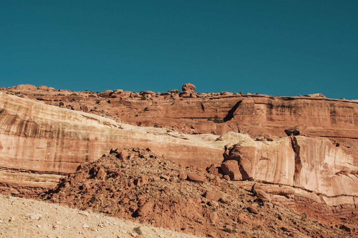
I drove the full length of Grand View Point Road twice, once at midday and once near sunset, expecting the sunset run to be the better trip. It wasn’t. The low sun makes for better photos, but at midday the canyon strata read as distinct, separated bands of color instead of one shadowed mass, which is the thing you actually came for. If you only have one visit in you, go midday and skip the sunset crowd at Grand View.
There’s no gas station inside the park. The last stop is in Moab, about 32 miles from the entrance; cell service is reliable at the visitor center and most main overlooks but drops out completely on the Shafer Trail switchbacks and anywhere below the rim. Pit toilets (no running water) are at Shafer Canyon, Green River Overlook, Grand View Point, and the Aztec Butte/Upheaval Dome trailheads. The main road is paved and maintained year-round; the White Rim Road below is unpaved, high-clearance only, and closed to vehicles after rain until it dries out.
| Place | Hard fact | Getting there |
|---|---|---|
| Grand View Point | 6,080 ft elevation, end of a 12-mile paved road | Paved, flat, wheelchair/stroller accessible |
| Green River Overlook | Adjacent to a 12-site first-come campground | Short spur near Willow Flat |
| Mesa Arch | 0.6-mile loop, tripods set up 30-45 min before sunrise | Small lot, overflows by 6:30 a.m. in peak season |
| Buck Canyon Overlook | No trail, pullout only | South of the visitor center on the main road |
| White Rim Overlook | 1 mile round trip, no shade, no water source | Small parking area off the main road |
| Upheaval Dome | 3-mile-wide crater, two viewpoints at 0.5 and 1.8 miles round trip | Trailhead at the road’s end |
| Shafer Canyon Overlook | 0.1 miles from the entrance station | Immediate right after entry |
| Orange Cliffs Overlook | 0.5-mile walk, faces the roadless Maze district | Near the Grand View junction |
| Candlestick Tower Overlook | Zero walking, roadside pullout | On the main park road |
| Aztec Butte | 2-mile round trip, steep slickrock, 7001,000-year-old granary ruins | Trailhead parking off the main road |
Grand View Point, Utah
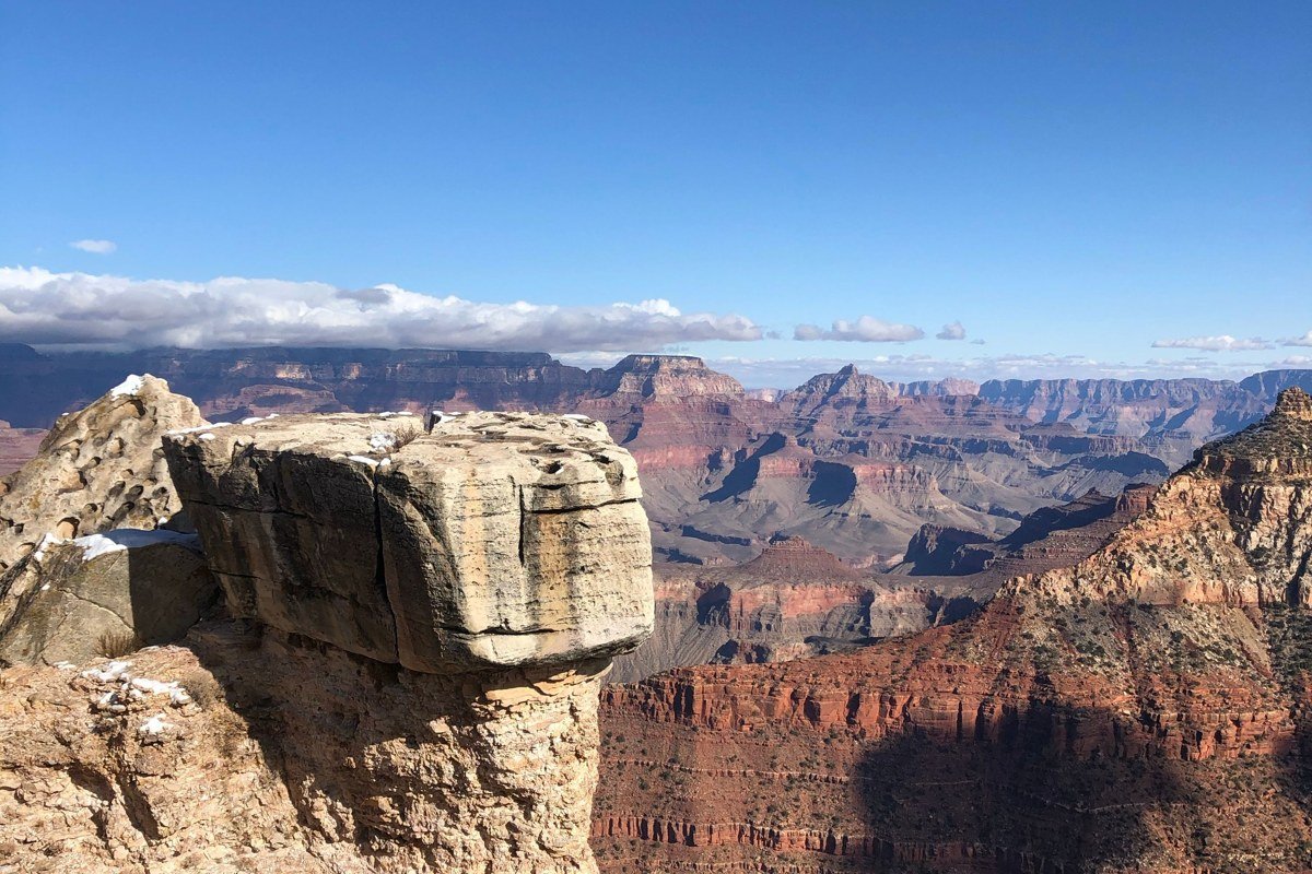
This is the end of the road, 12 miles from the entrance station, at 6,080 feet. You’re looking south over the canyons where the Colorado and Green rivers eventually meet, and on a clear day visibility runs 50 to 100 miles, limited more by the curvature of the land than by haze. The overlook trail is paved and under half a mile round trip, flat enough for strollers and wheelchairs, which matters if you’re doing a Utah national parks road trip with kids and need a big view without a big hike. Come at midday: the flat overhead light is what makes the canyon walls separate into distinct colored bands instead of collapsing into shadow, which is the opposite of what most photography advice tells you.
Green River Overlook, Utah
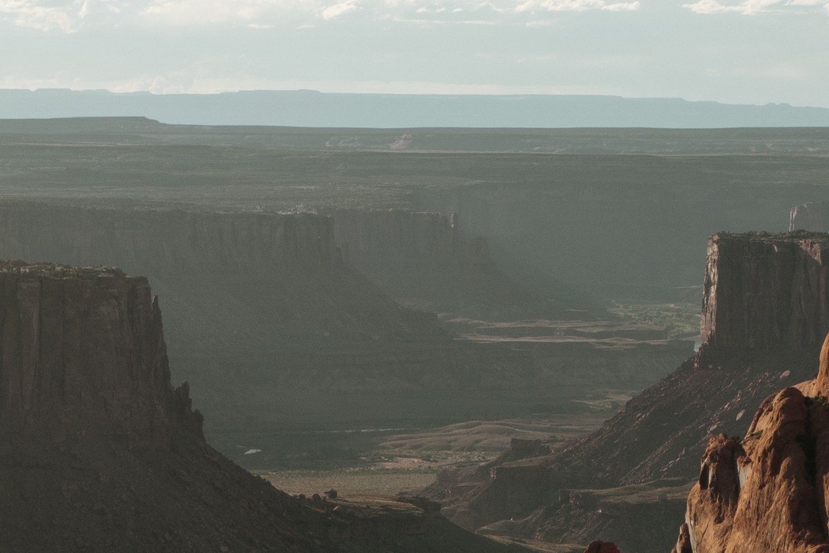
Low sun rakes across the White Rim sandstone here and turns it deep orange. The overlook sits beside Willow Flat, a 12-site first-come, first-served campground ($15/night, no water) that typically fills by early afternoon, so don’t treat it as a fallback if you arrive late. The walk from the parking area is flat and under five minutes. It’s a few minutes’ drive from Grand View Point, so pair the two for the same sunset.
Mesa Arch, Utah
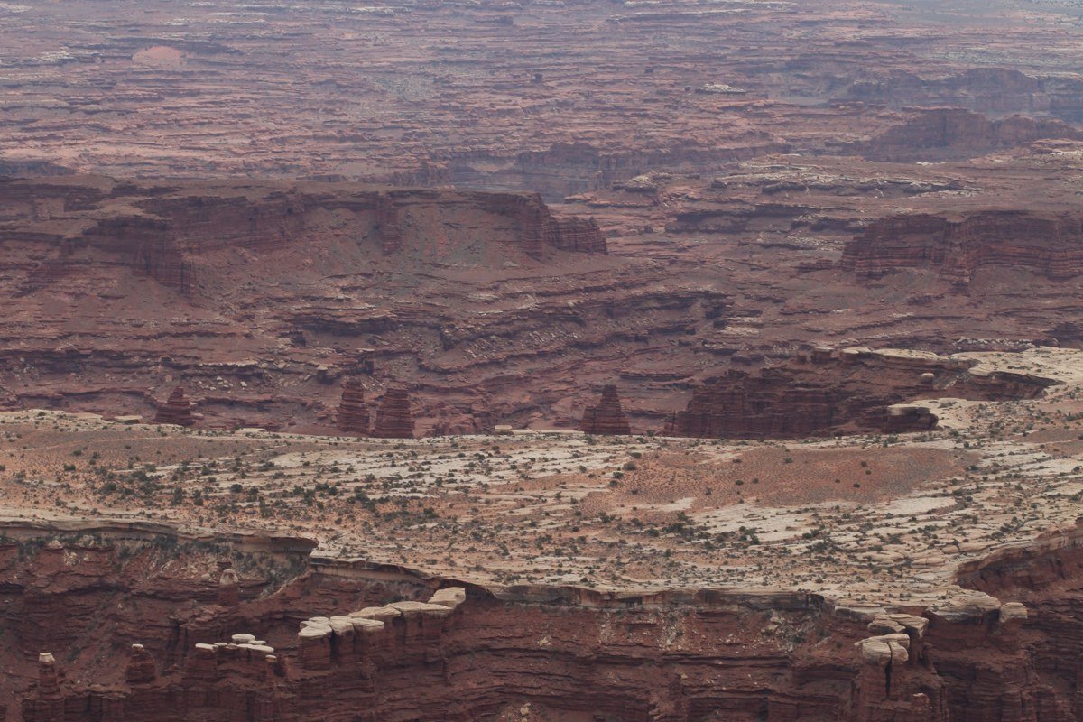
Mesa Arch frames a straight drop into the canyon, and for a few weeks around the equinoxes the sun rises directly through the opening. It’s also the most crowded overlook in the district: photographers are setting up tripods 30 to 45 minutes before first light, and the lot (maybe 25 spaces) overflows into roadside parking by 6:30 a.m. in spring and fall. The loop trail is 0.6 miles and not difficult. If you’d rather skip the tripod line, come at midmorning instead; the arch and the view through it are unchanged, you just won’t be sharing six feet of slickrock with a dozen strangers.
Buck Canyon Overlook, Utah
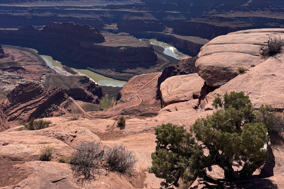
No arch, no sunrise crowd, no name recognition, which is exactly why it’s often empty. The drop and the rock layering are comparable to Grand View, especially in afternoon light. It’s a roadside pullout south of the visitor center, no walk required. Send people here when Mesa Arch felt like a parking-lot scrum instead of a view.
White Rim Overlook, Utah
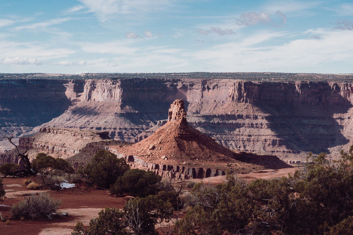
This looks straight down onto the White Rim Road, the 100-mile unpaved loop that requires a backcountry permit for overnight trips and is typically run over two to four days by high-clearance 4×4 or multi-day mountain bike groups. Watching a vehicle’s dust trail crawl across that pale bench below gives a sense of scale that the wider shot from Grand View Point doesn’t. The walk out is half a mile each way over slickrock, not technical, but there’s no shade and no water source anywhere on the route.
Upheaval Dome, Utah
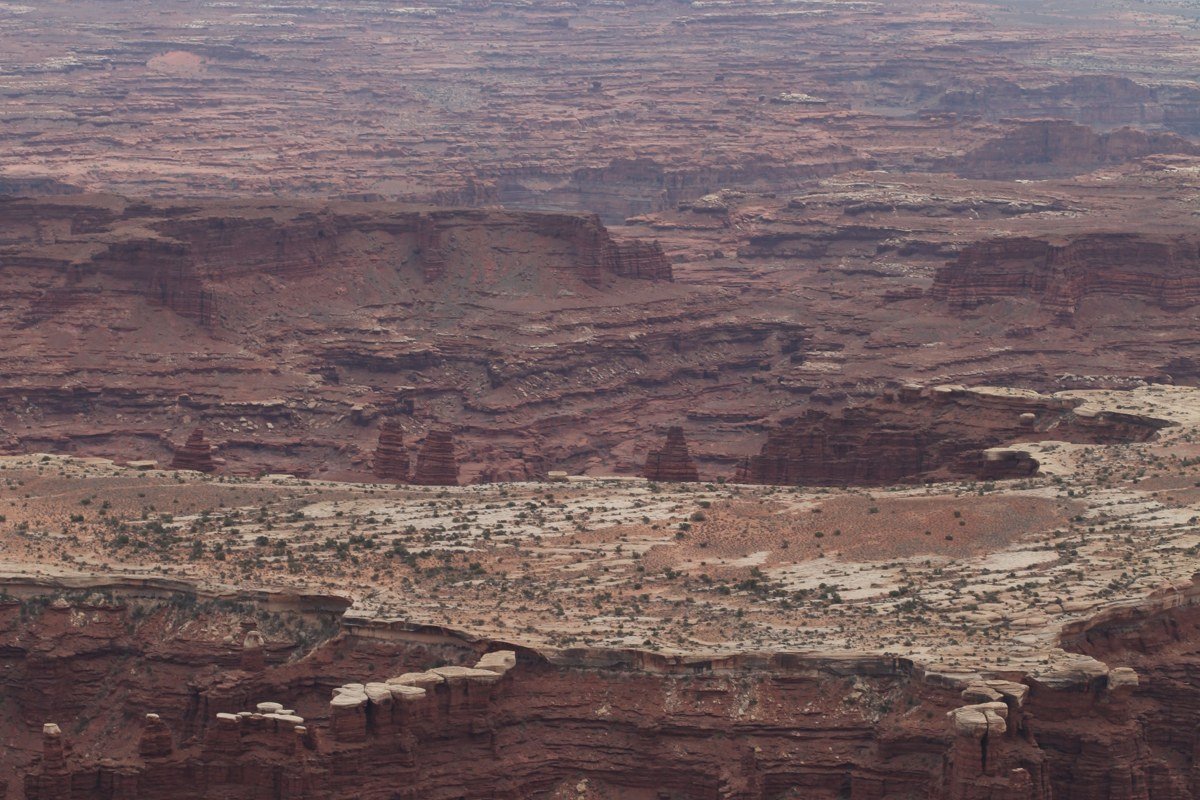
A roughly 3-mile-wide crater of jumbled, contorted rock, origin still debated between an ancient collapsed salt dome and a meteorite impact. Two viewpoints sit at the end of the road: the first is an easy 0.5-mile round trip, the second a steeper 1.8-mile round trip for a fuller view into the crater. It doesn’t look like the rest of the park, which is the entire reason to detour here.
Shafer Canyon Overlook, Utah
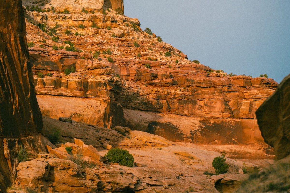
This is a tenth of a mile past the entrance station, so stop even if you’re saving the rest of the park for later. Below, the Shafer Trail drops off the cliff in a series of tight switchbacks, a former uranium-mining road now used by high-clearance vehicles entering the White Rim. Cell service ends here and doesn’t return until you’re back up on the mesa. Morning light is better; the switchbacks sit in shadow by early afternoon.
Orange Cliffs Overlook, Utah
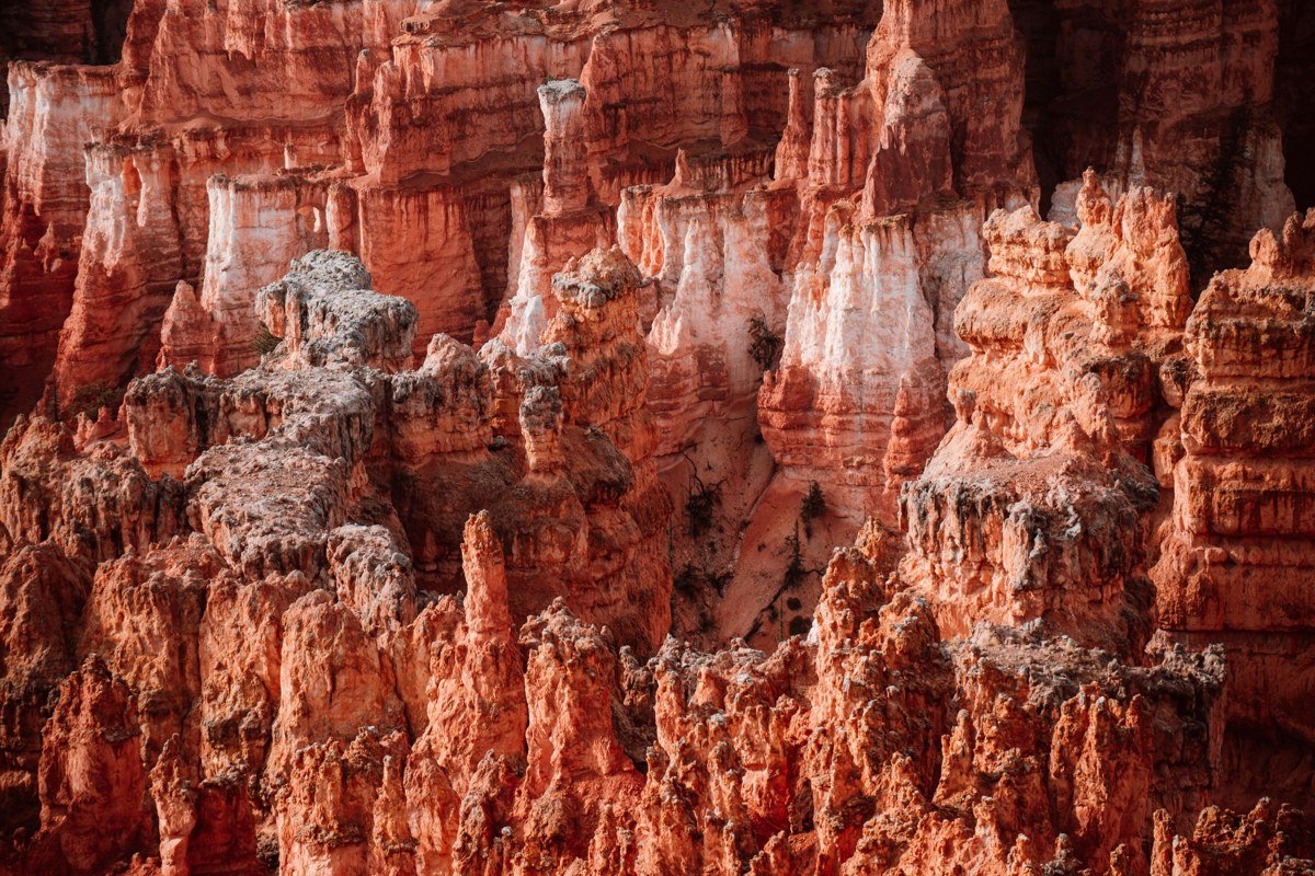
A half-mile walk near the Grand View junction, looking west into the Maze, the roadless district of Canyonlands that most visitors never enter. Expect to see a handful of people here at most, even during spring break. The rock here runs more orange and less red than the rest of the park.
Candlestick Tower Overlook, Utah
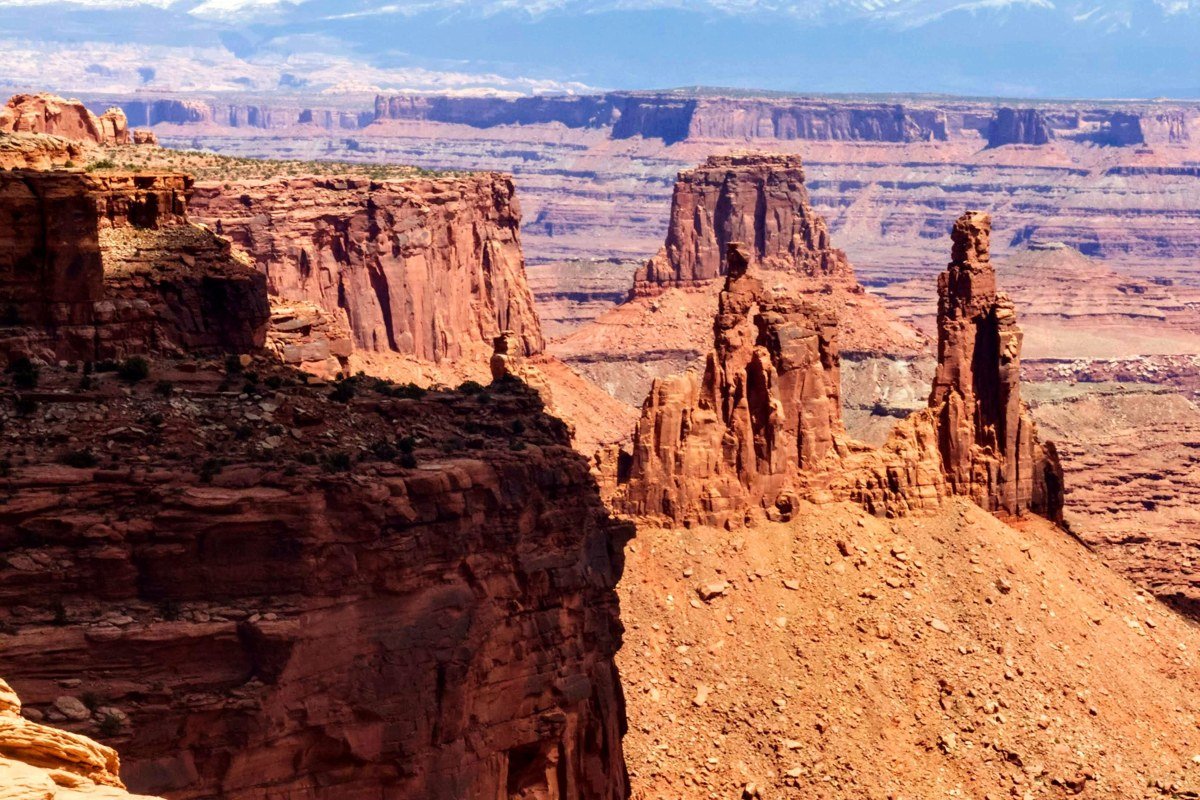
A single sandstone spire visible from a roadside pullout, no walking required. Five minutes, tops, and a reasonable place to combine with a bathroom break.
Aztec Butte, Utah
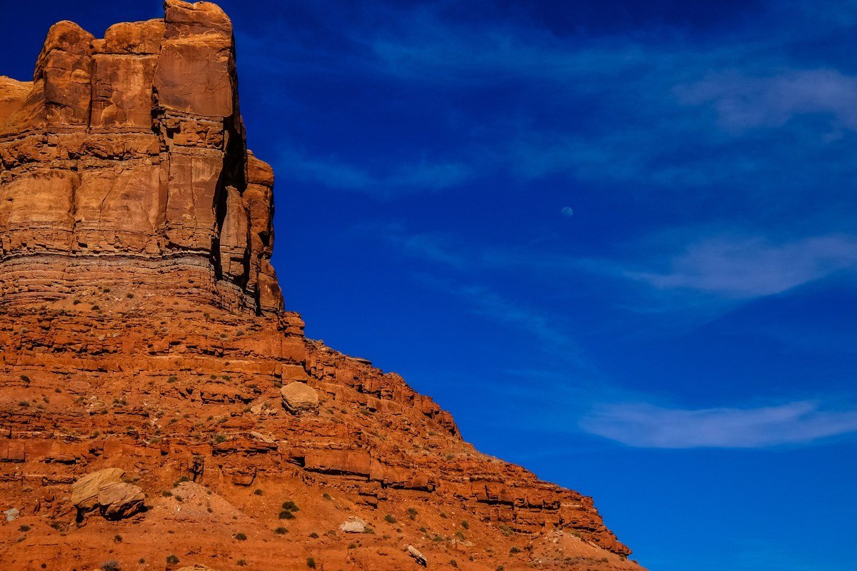
The only entry here that takes real effort: a 2-mile round trip with a steep slickrock climb to the top of a sandstone dome. At the top are the remains of granary structures built by ancestral Puebloan people roughly 700 to 1,000 years ago, plus a wide view over the surrounding mesa. There is no shade anywhere on this trail. Skip it in July or August unless you’re starting at first light; spring and fall mornings are the right window.
FAQ
Do I need a permit for the White Rim Road?
Yes, for overnight trips. Day use doesn’t require a permit, but any camping along the White Rim requires a backcountry permit from the NPS, and these are allocated through a lottery system months in advance for popular spring and fall dates. Walk-up permits are sometimes available but shouldn’t be counted on.
How much is the Canyonlands entrance fee, and does an Arches pass cover it?
A standard Canyonlands vehicle pass costs $30 and is valid for 7 days at all districts, including Island in the Sky. It’s separate from the Arches pass; you’ll need to pay (or show a pass) at each park individually. An $80 America the Beautiful annual pass covers entrance fees at both, plus every other federal fee site, and pays for itself if you’re visiting more than two or three parks on the same trip.
Is there gas, water, or food inside Island in the Sky?
No. The nearest gas station is in Moab, about 32 miles from the entrance station. There’s no food service in the district. Water is available at the visitor center only; none of the overlooks or trailheads have potable water, so fill up before you leave Moab.
Where does cell service actually work in the park?
Coverage is inconsistent and carrier-dependent, but it generally holds at the visitor center and the main overlooks along Grand View Point Road. It drops out on the Shafer Trail switchbacks and anywhere below the rim, including the White Rim Road itself. Don’t count on a signal once you’re off the mesa top.
What’s a realistic Utah national parks road trip from Las Vegas or Salt Lake City?
From Las Vegas, Zion is about a 2.5-hour drive and makes a natural starting point heading east. From Salt Lake City, Capitol Reef or Arches are each roughly 3 to 4 hours out, making either a logical first stop heading south. Salt Lake City sits closer to Island in the Sky than Las Vegas does, which matters if this district is the priority rather than a stop on a five-park loop.