
Most people plan a Maine coast trip around sunshine, then get annoyed when a marine fog bank rolls in off the Gulf of Maine and swallows the lighthouse they drove three hours to photograph. That’s backwards. Fog is when these harbors look their best, when lobster boats seem to hover on nothing and the bell buoys sound closer than they are. This loop treats fog as the main event, not the inconvenience.
The route runs about 280 miles one way if you drive it end to end, from Kittery, Maine near the New Hampshire border up to Stonington, Maine on Deer Isle, with Route 1 as the spine and a few detours onto peninsulas that Route 1 skips entirely. Give it 5 to 7 days. Most people fly into Portland, Maine or drive up from Boston (about 1.5 hours to Portland, closer to 3 to Stonington), and either loop back down Route 1 or continue north toward Bar Harbor and Acadia National Park, which sits just beyond this route’s final stop.
Stop 1: Kittery, Maine

Kittery is the front door to coastal Maine, 55 miles north of Boston on I-95, and most road-trippers blow through it heading for the outlet malls. Skip the shopping and go to Fort Foster Park at Kittery Point instead, where fog off the Piscataqua River clings to the rocks and pine trees at dawn. The park opens at 6 AM in-season, and that’s the window that matters here, before the tour buses and before the tide fills in. Coastal fog tends to burn off by mid-morning in summer, so if you want the ethereal version, you’re up before 7 AM.
Next leg: 40 minutes north on Route 1 to Ogunquit.
Stop 2: Ogunquit, Maine
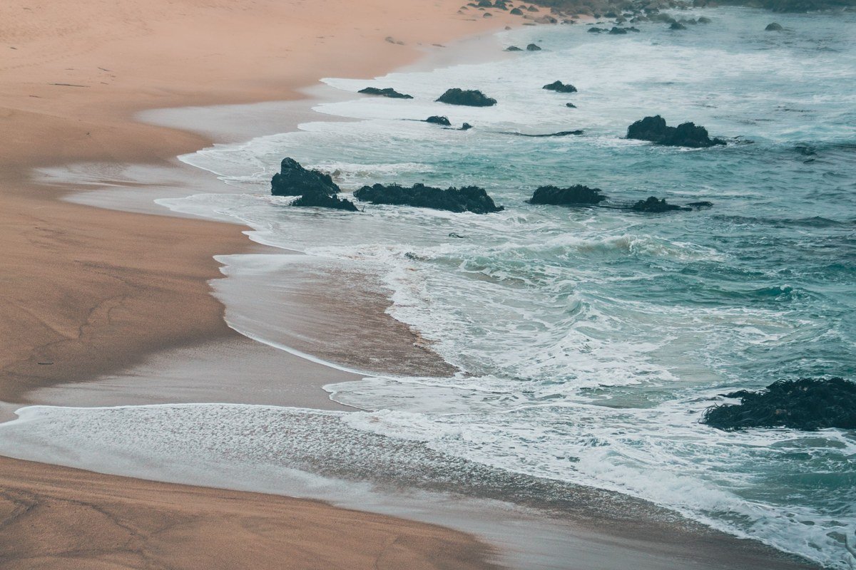
Ogunquit’s Marginal Way, a mile-and-a-quarter footpath along the bluffs, is genuinely better in fog than in bright sun. The glare and beach crowds vanish, and you get the rock formations and crashing surf without fifty other people in the frame. Perkins Cove, the little drawbridge harbor at the path’s south end, holds fog in its narrow channel longer than the open beaches do. Grab a coffee at Bread and Roses on Main Street before you walk; it opens at 7 AM, which lines up with the last of the fog burning off the Cove.
Next leg: 45 minutes north on Route 1 to Kennebunkport.
Stop 3: Kennebunkport, Maine
Dock Square and the Kennebunk River waterfront are postcard Maine even without weather assistance, but fog softens the wealth-and-yachts polish of this town into something older-feeling. Walk out toward Walker’s Point in early morning mist and the shingled cottages disappear into gray one by one. Median home prices in Kennebunkport have run well into seven figures in recent years, which is worth knowing if the “cute waterfront cottage” fantasy is part of why you’re here; this is a town of second homes, not starter homes.
Next leg: About 25 minutes on Route 1 to Portland’s outskirts, then into the city, roughly 35 minutes total.
Stop 4: Portland, Maine
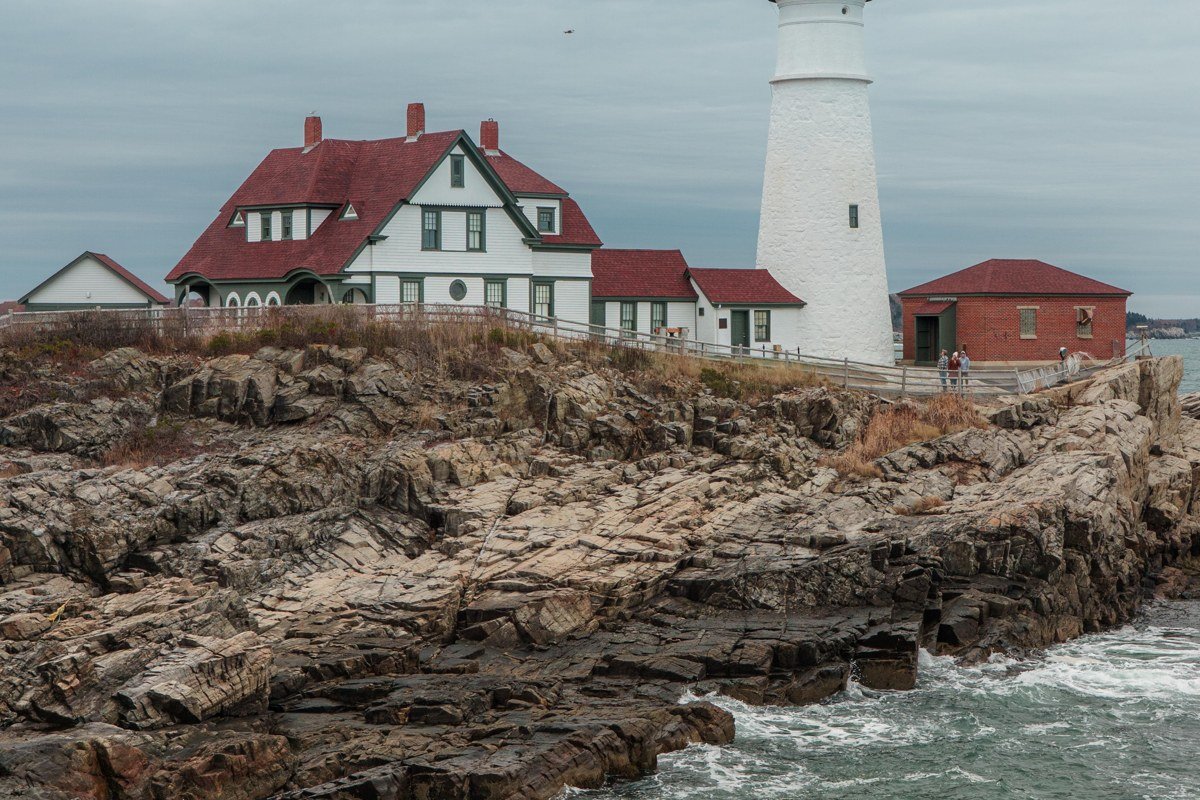
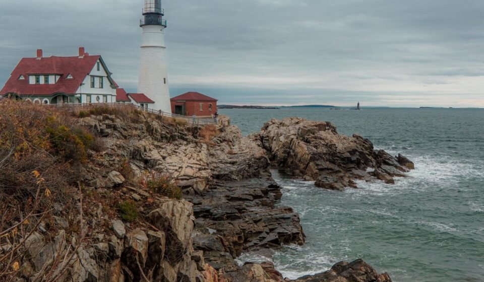
Portland Head Light, in Fort Williams Park just outside the city, is one of the most-photographed lighthouses on the East Coast by most tourism-board counts, and fog is exactly when to go, since a clear day means fighting wedding parties for a clean shot. If you’re shooting it, face east-southeast toward the light around sunrise; the fog behind the tower catches the low sun and backlights instead of just flattening the shot into gray. The Old Port’s cobblestone streets hold fog differently, pooling under the gas lamps before dawn while boats unload at the Portland Fish Exchange. Cape Elizabeth and the lighthouse are 15 minutes from downtown, and this whole loop’s southern half works comfortably as day trips if Portland is your base.
Next leg: 1 hour on Route 1 north to Brunswick, then Route 24 or continue on Route 1 toward Bath, roughly 1 hour 15 minutes total to Boothbay Harbor via Route 27.
Stop 5: Boothbay Harbor, Maine
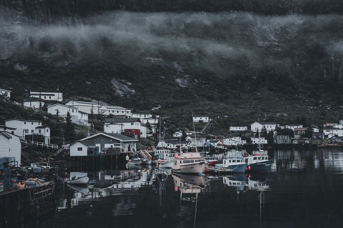
Boothbay’s pedestrian footbridge across the inner harbor, built in 1901 and still the town’s shortcut across the water, is the spot. Stand on it at first light when fog is sitting on the water and you can watch working lobster boats materialize out of nothing and idle past underneath you. The town gets busy in July and August; come in September or October and you get the fog without the sidewalk traffic. It still functions as a real harbor, not just a tourist stage set, which is more than some of the bigger names on this coast can say.
Next leg: 1 hour north on Route 1 to Rockland.
Stop 6: Rockland, Maine
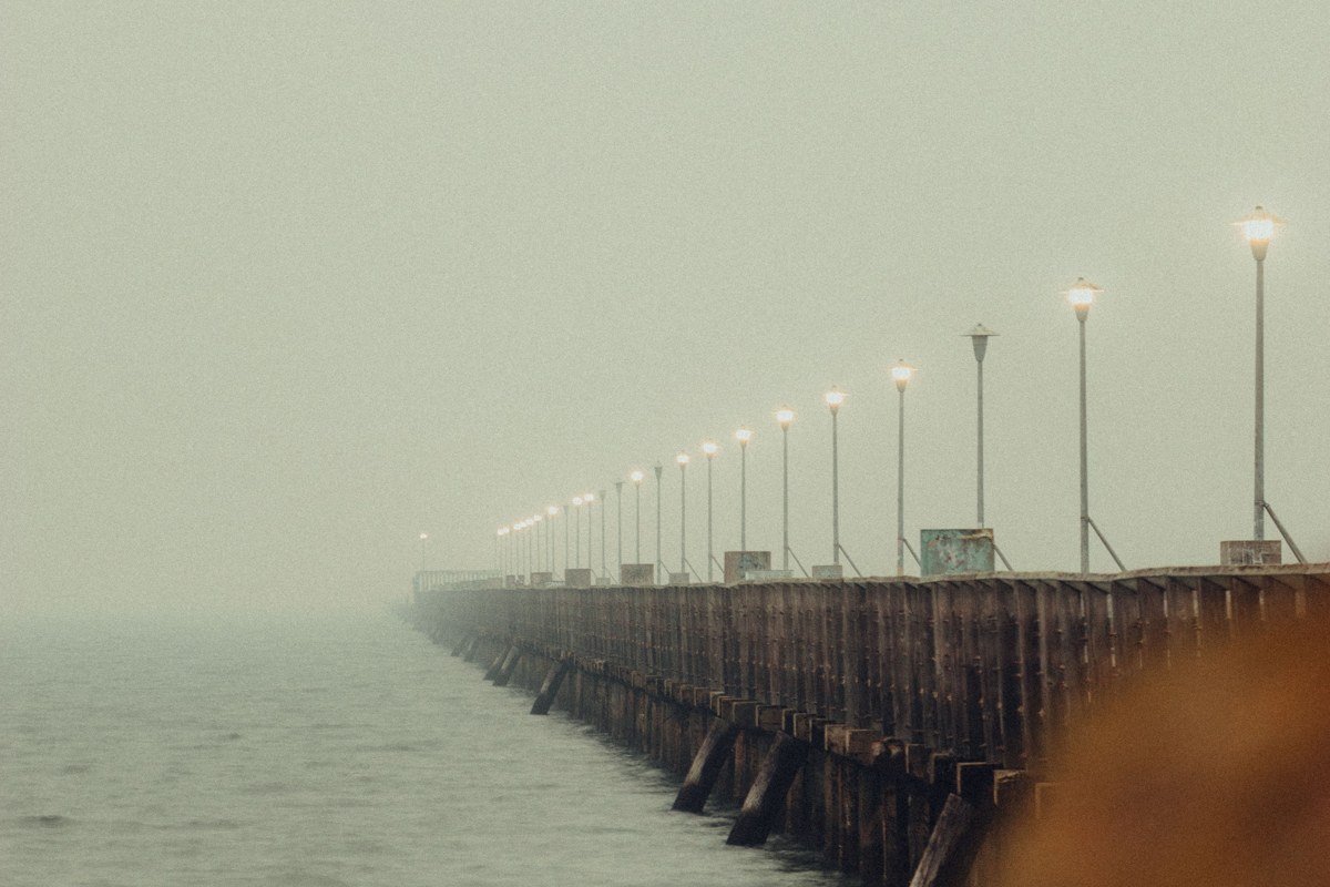
Rockland’s breakwater runs nearly a mile out to a lighthouse, and it’s a strange, exposed walk on a clear day and a genuinely eerie one in fog, when the far end disappears and you’re walking toward a bell you can hear but not see. Bring a wide-angle lens for the walk out (the granite blocks underfoot make a good leading line into the mist) and something longer, 70mm or so, for the lighthouse itself once it’s close enough to resolve. Rockland also hosts the Maine Lobster Festival, typically the first weekend of August, which is worth timing around rather than stumbling into unaware, since parking and lodging get tight. South of here is the crowded cottage coast; north of Rockland it gets rockier, quieter, and foggier.
Next leg: 20 minutes north on Route 1 to Camden.
Stop 7: Camden, Maine
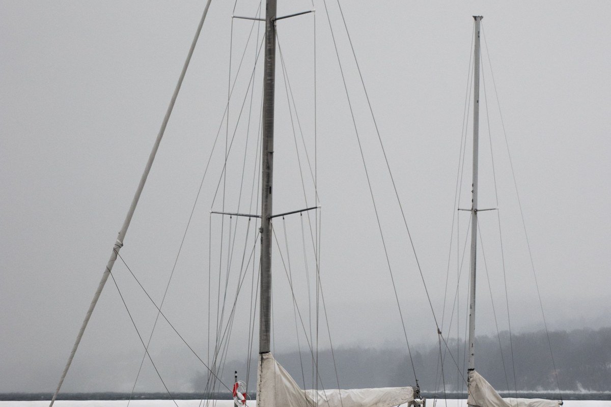
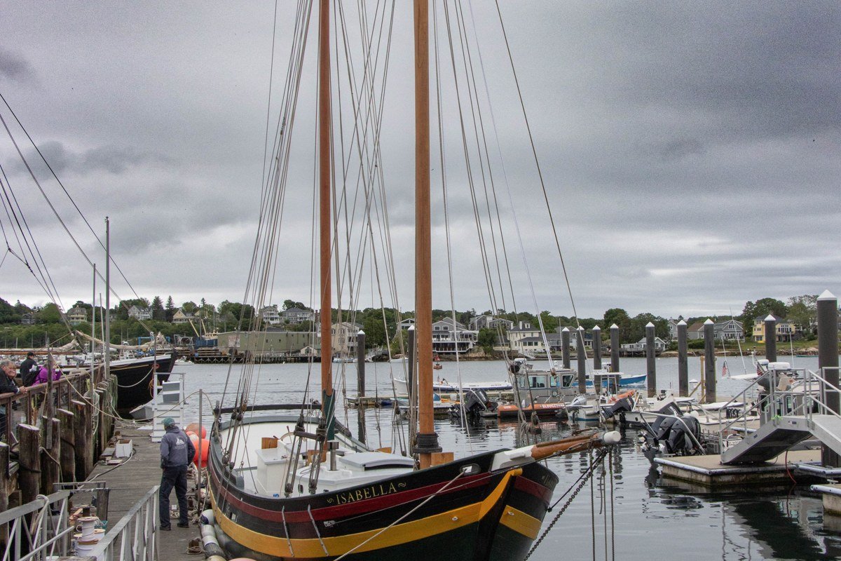
Camden’s harbor, ringed by the Camden Hills, is where Maine’s windjammer schooners still moor, and there’s nothing quite like watching their bare masts emerge out of fog before the sails go up. Climb Mount Battie in Camden Hills State Park once the fog has burned off, usually mid-morning, for the overview shot; go down to the harbor itself before 8 AM for the moody one. Park entry is a few dollars per person if you’re walking in, more if you drive to the summit, and it’s worth the small fee for the vantage alone. Camden’s year-round population holds up better than many of its neighbors, whose harbors go quiet once the summer renters leave in September.
Next leg: 1 hour 15 minutes via Route 1 to Route 175/166 to Castine, or continue Route 1 to the Blue Hill Peninsula turnoff.
Stop 8: Castine, Maine
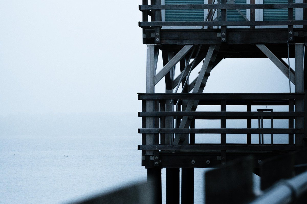
Castine sits down a peninsula that most Route 1 traffic never bothers with, which is exactly its appeal. Fog pools in the harbor below the bluff where the old fort earthworks are, and the town’s brick sea captains’ houses look like they’re floating in it. Maine Maritime Academy is here, and its training ship, the State of Maine, is sometimes docked at the town pier when not out on a term cruise, worth checking before you go if you want it in the frame. The economy is quieter and more academic than the postcard towns further south, and the harbor still feels used rather than staged.
Next leg: About 1.5 hours back to Route 1 and up through Blue Hill to the Deer Isle causeway, then Route 15 to Stonington.
Stop 9: Stonington, Maine
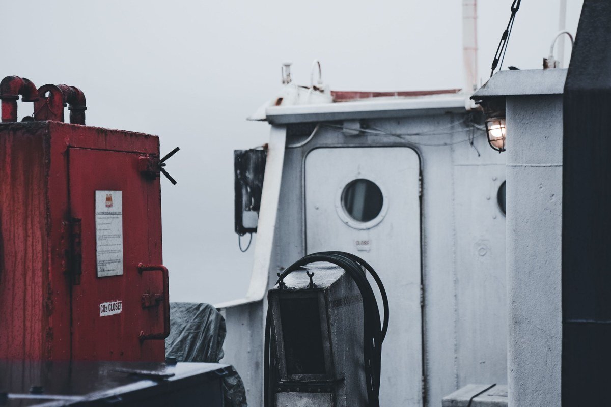
Stonington, at the bottom of Deer Isle, lands by lobster volume among the top few ports in the state according to Maine Department of Marine Resources landings data, and it isn’t a tourist harbor pretending to be one. Boats head out before sunrise regardless of visibility, and standing on the town dock near the Fisherman’s Friend restaurant, watching running lights disappear into gray, is as close as you’ll get to what this coast actually does for a living. The road out here narrows and cell service gets patchy past Blue Hill, so fill your tank before you commit to the causeway. Acadia and Bar Harbor are another hour-plus north if you want to extend the trip, but Stonington is a clean, satisfying place to end a loop focused on fog rather than crowds.
Doing it in reverse
Running this route north to south works just as well, and arguably gets you into Stonington and Castine while you’re fresh rather than tired at the end of a week. Fog behavior doesn’t care which direction you’re driving. It forms overnight along the whole coast and tends to burn off from south to north as the morning warms, so starting at Stonington means you’re chasing the fog line down the coast all day instead of waiting for it each morning.
If you only have 3 days
Cut it to Portland, Boothbay Harbor, and Camden. That’s about 2.5 hours of total driving, hits the most reliably photogenic harbors, and skips the long peninsula detours to Castine and Stonington that eat a full extra day each. Base in Camden or Rockland and day-trip south to Portland if pressed for time; it’s the one town on this list dense enough to justify backtracking for.