
The foggiest destinations in the US aren’t all lighthouses and coastlines. Mount Rainier National Park in Washington produces some of the most reliable cloud inversions in the country, where valley fog pools below 5,500 feet and the upper trails sit in clear air under full sun. This loop strings together nine stops that either climb above that fog layer or frame it from below, starting in Seattle, circling the mountain clockwise, and ending back in Tacoma. It runs about 260 miles over 3 to 4 days, mixing short interpretive walks with half-day summit-adjacent hikes.
Mount Rainier charges a $30 per vehicle entrance fee (as of recent years, subject to change, so confirm current pricing before you go). Paradise and Sunrise do not currently require separate timed-entry reservations the way some other national parks do, but parking at both fills fast in summer, and NPS has tested timed-entry systems at other high-traffic parks in recent years, so check the park’s current conditions page a few days before your trip in case that changes.
Stop 1: Narada Falls, Washington
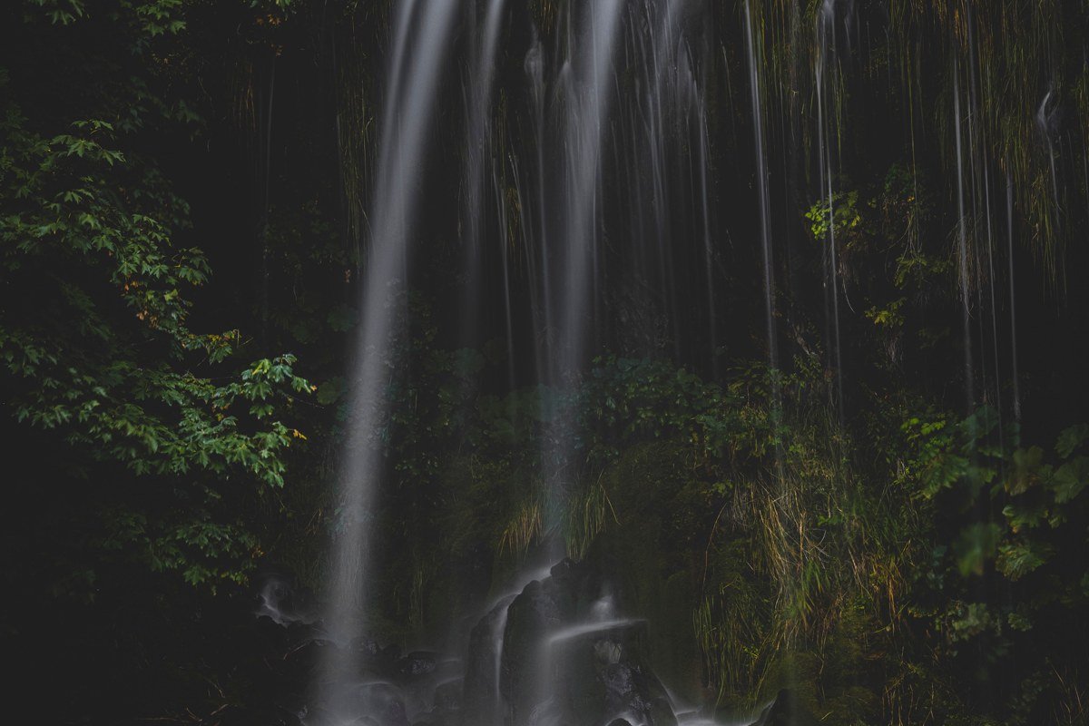
Narada Falls drops about 176 feet into a mossy gorge just off the road to Paradise, and it’s the first place on this route where you’ll understand what “misty” actually means at Rainier. The spray off the falls hangs in the air on cool mornings, coating ferns and hemlock needles in a fine, constant condensation. It’s a five-minute walk from the parking area, which makes it the softest possible introduction before the harder stops ahead. Go early, before the tour buses from Seattle arrive around midmorning. No separate fee or reservation beyond the standard park entrance pass.
Next leg: 10 minutes east on Paradise Road to the Paradise area.
Stop 2: Skyline Trail, Paradise, Washington
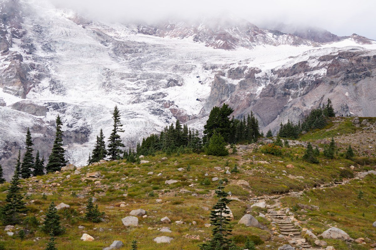
Paradise sits around 5,400 feet, close to the elevation where Pacific low clouds tend to stall out against Rainier’s southern flank. Start the Skyline Trail loop (about 5.5 miles, with real elevation gain) on a morning when Seattle and the Puyallup valley are socked in, and by the time you’re a mile up switchbacks, you can look back down at an unbroken white sea with nothing above it but blue sky and the mountain. Parking at Paradise fills by mid-morning in July and August, so arrive before 8am or plan on circling. No timed-entry permit is required as of now, only the standard park pass, but this is the lot most likely to see reservations added in future seasons, so it’s worth a pre-trip check.
Next leg: 1 hour on Stevens Canyon Road and WA-123 to Ohanapecosh.
Stop 3: Grove of the Patriarchs, Washington
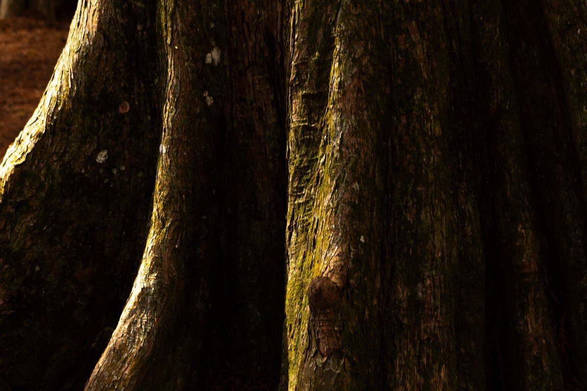
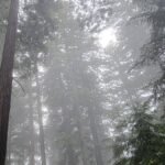
Drop back down in elevation here and the mood changes entirely. This ancient grove of Douglas fir, western hemlock, and red cedar, some over 1,000 years old, sits in a river bottom that traps ground fog long after the peaks have cleared. The suspension bridge to the island grove has been closed for rebuilding in recent years, so check current park alerts before counting on the full loop. Even the accessible portion delivers the effect: shafts of light cutting through low mist between trunks wide enough to park a car inside. If you’re camping nearby, Ohanapecosh Campground is a few minutes from the trailhead and tends to book out weeks ahead in July and August.
Next leg: 45 minutes north on WA-123 and WA-410 to Sunrise.
Stop 4: Sunrise, Washington
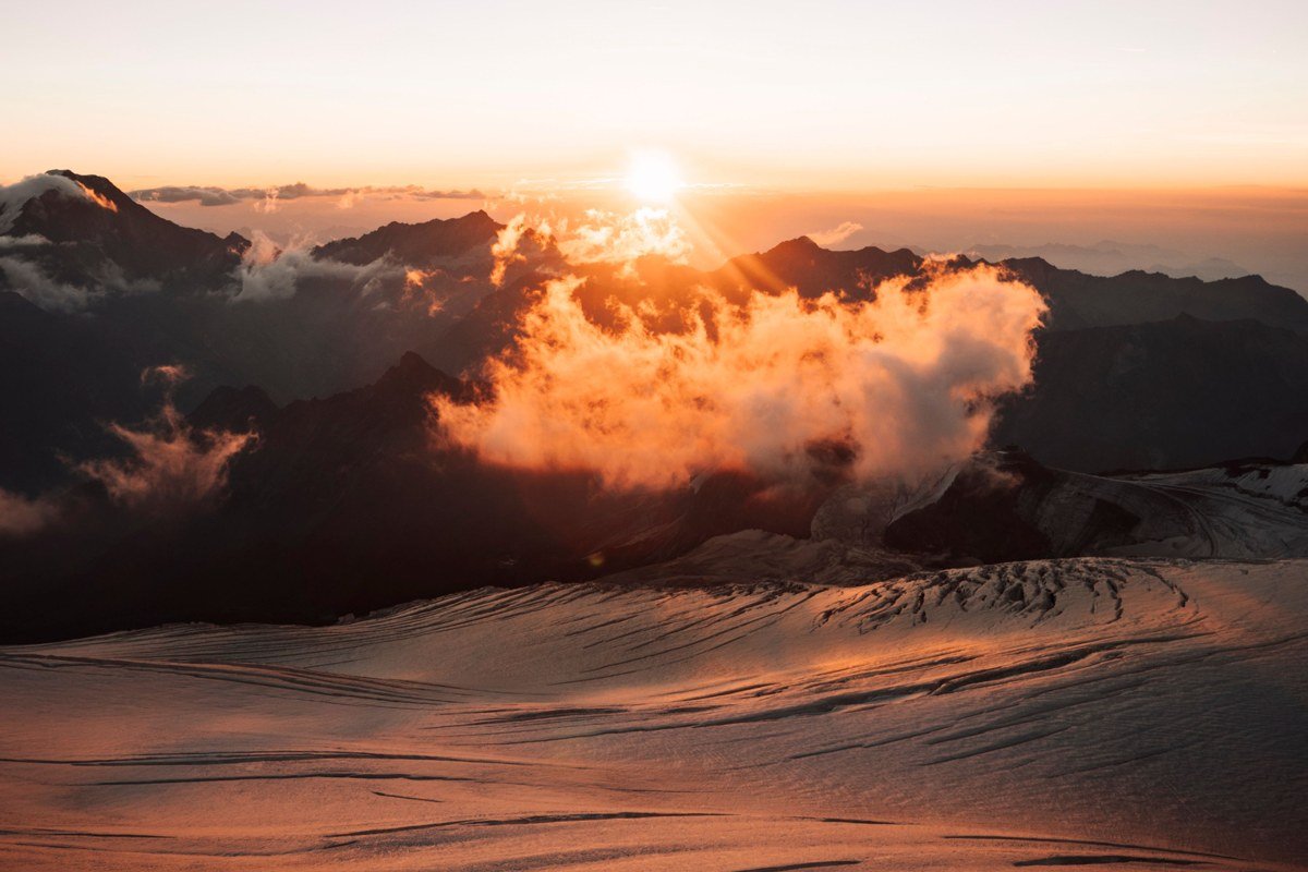
Sunrise is the highest point in the park reachable by car, at roughly 6,400 feet, and it produces inversions even more dramatic than Paradise because the valleys below drop off more steeply on this side. The Sourdough Ridge Trail (a flat, easy 3 miles round trip from the visitor center) gives you long views north into the White River valley, which fills with fog on cool mornings like a bathtub. The road up here typically closes by early October and doesn’t reopen until July, so this stop only works in a narrow summer and early fall window, and that window is worth building the whole trip around. No separate reservation is required beyond the standard entrance pass, but the access road itself sometimes closes temporarily once the lot is full, so plan for an early start.
Next leg: 20 minutes on the same road to the Sunrise Rim area.
Stop 5: Sunrise Rim Trail, Washington
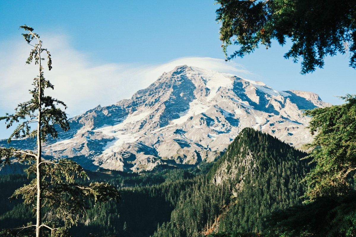
Where Sourdough Ridge is the easy version, Sunrise Rim Trail is the payoff version. This roughly 5.5-mile route skirts the edge of the plateau with unobstructed views of the Emmons Glacier, and on inversion mornings you get glacier ice above and cloud ocean below in the same frame, for the same reason Sunrise itself works: steep valleys, cool mornings, and low clouds with nowhere to go but down. Afternoons here tend to build cumulus and haze off the glacier, so this is a morning hike, full stop. Bring layers: temperatures at this elevation before 9am can be 20 degrees colder than the valley you drove up from.
Next leg: 2.5 hours back down and around via WA-410 and WA-7 to Mount Rainier’s southwest corner.
Stop 6: Comet Falls, Washington
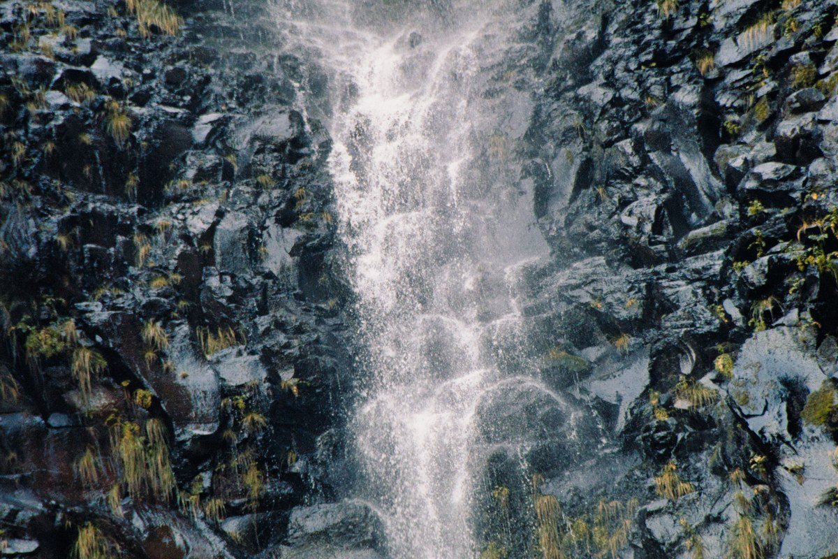
Comet Falls is a steeper commitment, about 3.8 miles round trip with real elevation gain, but it climbs through forest that holds fog well into late morning even on clear-sky days elsewhere in the park. The falls drop around 320 feet and generate their own localized mist that blends with whatever ambient moisture is sitting in the drainage. It’s underrated next to Narada Falls, and arguably the better waterfall of the two. The parking area is small and gets crowded by 10am in summer.
Next leg: 30 minutes on WA-706 to the Longmire area.
Stop 7: Longmire, Washington
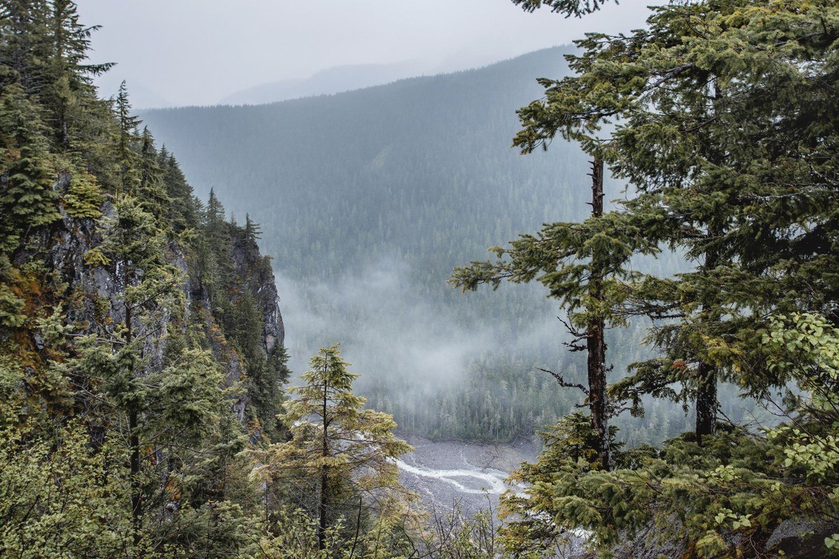
Longmire sits low, around 2,700 feet, and often stays wrapped in fog when Paradise above it is bathed in sun. Drive down from a clear ridge into thick gray mist in the space of 15 minutes and you understand the inversion from the other side. The Trail of the Shadows, an easy loop under a mile, winds past old mineral springs and gives you that low, dripping, quiet-forest fog experience without any real hiking effort. Cougar Rock Campground, a short drive south, is the closest place to stay overnight in the park itself and is reservable in advance for summer dates.
Next leg: 1.5 hours west and north on WA-706 and WA-7 toward Tacoma, or continue exploring the park’s less-visited west side.
Stop 8: Gobbler’s Knob, Washington
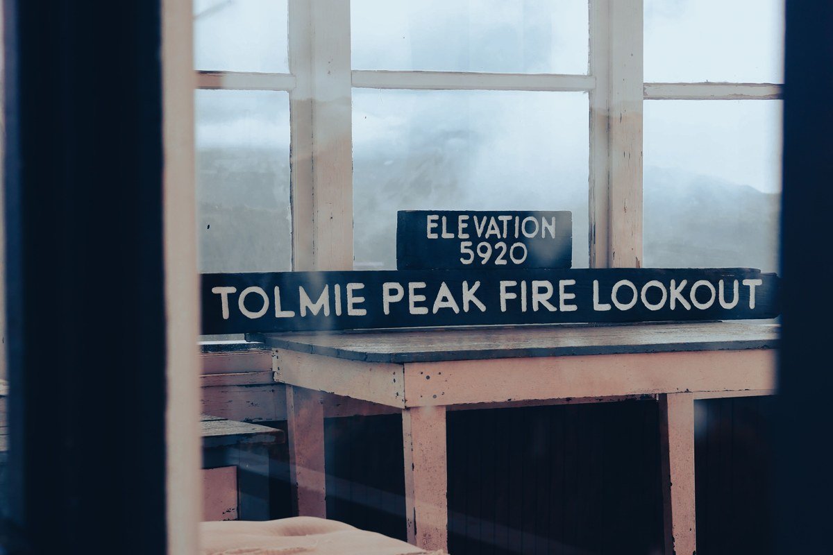
Worth the detour if you have the extra half day. The trail to the Gobbler’s Knob fire lookout (about 5.5 miles round trip from the West Side Road area) climbs to just over 5,400 feet, similar to Paradise, but sees a fraction of the visitors because the access road is rougher and less publicized. On a good inversion morning you get the lookout tower standing alone above a complete cloud floor, without the crowds working the Skyline Trail switchbacks. Send this one to anyone who found Paradise overrun.
Next leg: 2 hours north on WA-7, WA-161, and I-5 to Tacoma.
Stop 9: Point Defiance Park, Tacoma, Washington
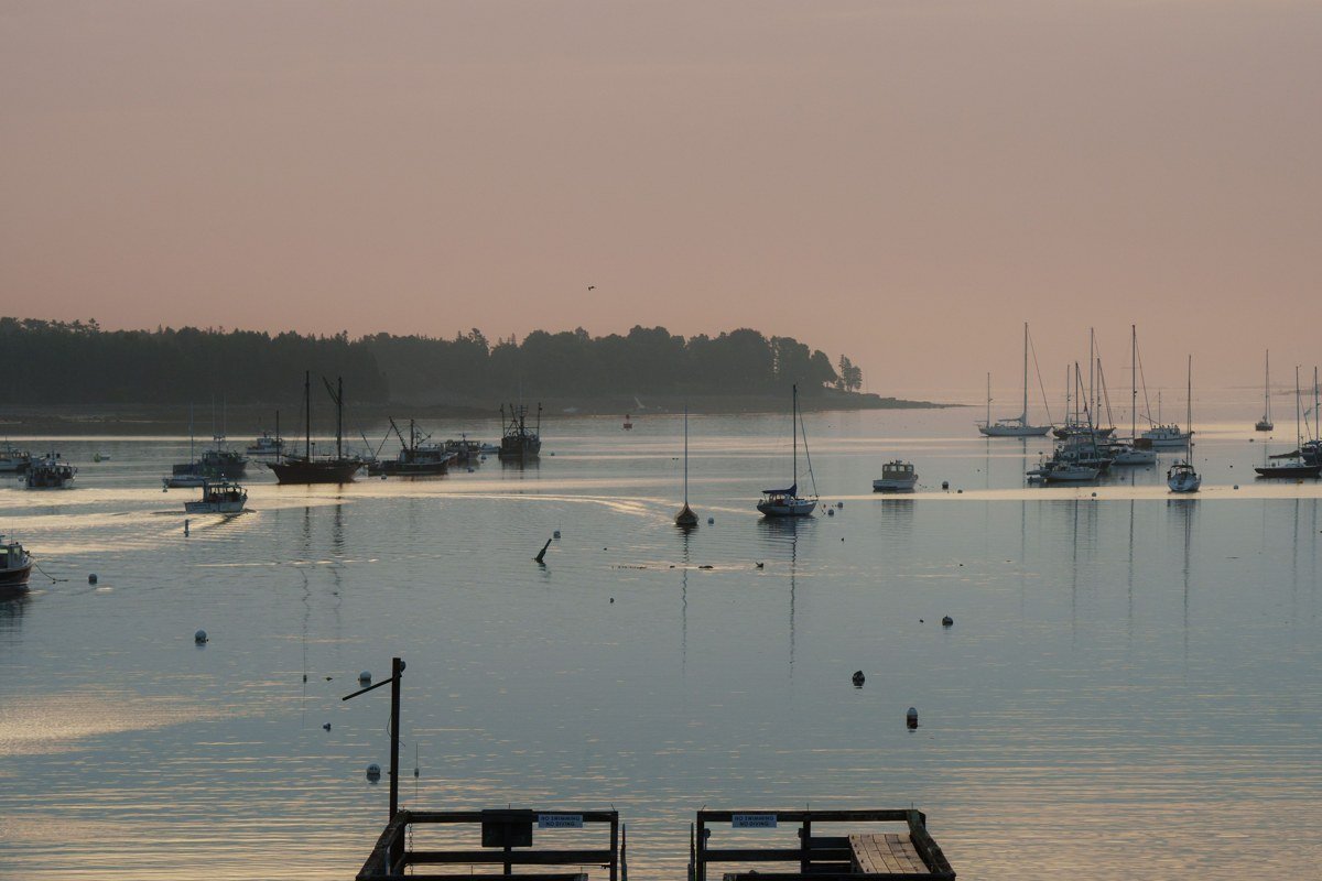
The loop closes here, at sea level, in a different kind of fog: the marine layer off Puget Sound. Tacoma isn’t usually mentioned among the foggiest cities in the US the way San Francisco or coastal Maine towns are, but its waterfront mornings in fall and winter produce dense, low-lying fog that rolls through the old-growth forest of Point Defiance Park and along Five Mile Drive. It’s a fitting bookend: you started the trip chasing fog from above, and you end it walking through fog at the water’s edge, at almost the same latitude, 260 miles and 6,000 vertical feet apart.
If you only have 3 days
Cut Stops 3 and 8. Do Narada Falls and Paradise on day one, Sunrise and Sunrise Rim on day two, then Comet Falls, Longmire, and Tacoma on day three. For day two, stay overnight near Enumclaw (several basic motels along Highway 410 work fine for an early start) or book White River Campground, which sits closest to the Sunrise entrance and lets you be on the road well before the lot fills. You lose the ancient grove and the quiet lookout, but keep both inversion viewpoints, which are the real reason to make this trip. Check the park’s current conditions and any road closures before you leave, since Sunrise Road’s short season is the one hard constraint that can break the plan entirely.
Doing it in reverse
Starting from Tacoma works just as well, and arguably sets up the Sunrise stops better for late-day light if you’re a slow starter. Drive Tacoma to Longmire first, hit Comet Falls in early morning shade before the sun hits the switchbacks, then work up to Paradise for midday, when inversions have sometimes burned off and you’re left with a clear mountain instead, a fine backup outcome. Push to Sunrise for a sunset that lights the cloud layer gold instead of a sunrise that lights it white. Either direction, the rule holds: chase the inversion early, and treat clear-mountain days as the plan B, not the failure.