
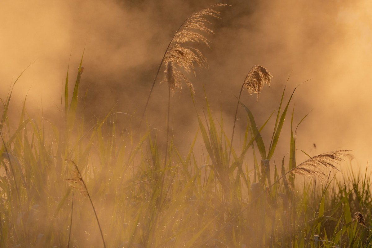
The best fog at Upper Peninsula, Michigan lighthouses shows up on calm mornings in late spring and early fall, right after sunrise, when Lake Superior is still cold and the air above it warms faster than the water. That mismatch is what makes the mist. Whitefish Point and Big Bay Point are the two most reliable, especially in May and June and again in September, on mornings after a clear, calm night. None of this is guaranteed. I’ve driven out to Whitefish Point on a textbook-perfect morning, cold night, clear sky, dead calm, and gotten nothing but flat gray light and a cup of coffee going cold in the cupholder. Fog is a probability, not a booking.
I put this list together the way you’d actually plan a trip, not by ranking lighthouses on looks alone. I cross-referenced which ones sit on the kind of exposed, cold-water points where lake-effect mist forms most often, then weighted them by how accessible they actually are at 6 a.m. (a locked gate at sunrise doesn’t help you). A few famous UP lighthouses got cut for exactly that reason. What’s left is a route you could actually drive.
| Place | Best for | Getting there |
|---|---|---|
| Whitefish Point, MI | The most consistent fog on Lake Superior | 1 hour north of Sault Ste. Marie via M-123 and Whitefish Point Road |
| Big Bay Point, MI | Fog plus a lighthouse you can sleep in | 25 miles north of Marquette on County Road 550 |
| Au Sable Light Station, MI | Fog with zero cars in the shot | 1.5-mile hike from Grand Marais inside Pictured Rocks |
| Crisp Point, MI | Fog on an empty, wide beach | 25 miles of gravel and two-track from Paradise |
| Eagle Harbor Light, MI | Fog rolling off Keweenaw cliffs | 30 minutes north of Copper Harbor on M-26 |
| Point Iroquois Light, MI | Fog with freighters passing close offshore | 15 miles west of Sault Ste. Marie off Lakeshore Drive |
| Copper Harbor Light, MI | Fog at the literal tip of the peninsula | Boat tour or kayak only, departing from Copper Harbor |
Whitefish Point, Michigan
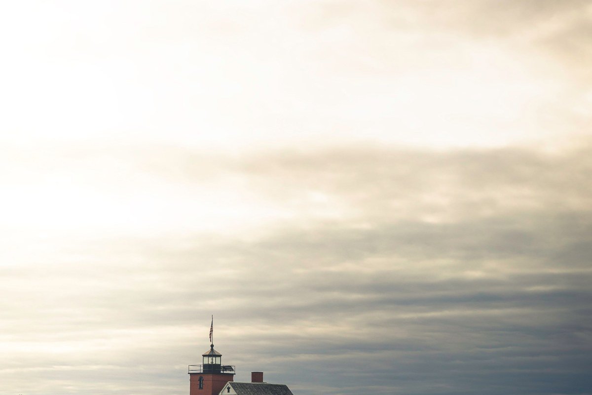
This is the one to build a trip around. Whitefish Point juts into Lake Superior at the exact spot where cold water and warmer spring air collide most often, and the fog here doesn’t just drift through, it sits. Get there before 7 a.m. in late May or June, park in the small lot by the Great Lakes Shipwreck Museum (admission is $18 for adults if you stick around once it opens, but the parking lot itself is free and accessible well before that), and walk the beach path north of the light. I’ve stood on that beach at 6:15 a.m. in a jacket that wasn’t warm enough, watching the foghorn tower disappear and reappear as the mist pulsed in off the water, and had the entire point to myself except for a guy with a spotting scope tracking hawks. That’s normal here: this is a major raptor migration corridor, so early risers share the point with birders more often than with other photographers. For road conditions in shoulder season, Chippewa County Road Commission can be reached at (906) 632-2287.
Big Bay Point, Michigan
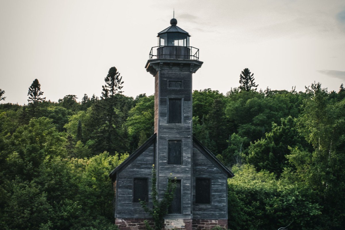
Big Bay Point works because you can actually stay inside it. The lighthouse operates as a seven-room bed and breakfast, with rates that generally run $189 to $259 a night depending on room and season; book directly through the inn’s own site rather than a third-party aggregator, since rooms during peak fog season (late May into June) sell out months out. Guests get the rare advantage of walking out the front door at dawn instead of driving there. County Road 550 from Marquette hugs the shoreline the whole way, and on foggy mornings the drive itself is half the reward, with mist pooling in the low spots along the road before you even reach the point. Non-guests can still visit the grounds during the day, but the fog is gone by then most of the year.
Au Sable Light Station, Michigan
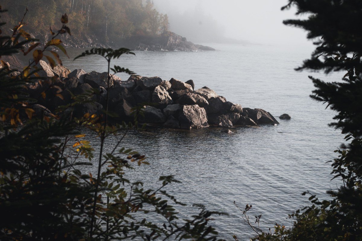
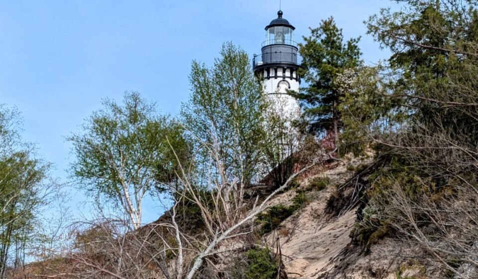
You earn this one. The lighthouse sits inside Pictured Rocks National Lakeshore, reached by a mile and a half hike from the Log Slide trailhead or from Hurricane River campground, along a shoreline littered with old shipwreck timbers, some still visible poking out of the sand depending on how recently a storm has shifted things. Fog forms here the same way it does at Whitefish Point, but the tree cover along the trail means it lingers in pockets rather than as a solid wall, which honestly makes for better photos. Go early enough and you’ll have the trail to yourself; by midday in summer this stretch of Pictured Rocks gets busy with day hikers. Trail and access questions go to the Pictured Rocks National Lakeshore visitor center at (906) 387-2607.
Crisp Point, Michigan
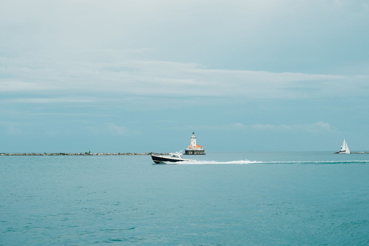
Crisp Point is the one people warn you about, and the warning is fair. It’s 25 miles of gravel and rough two-track from Paradise, and after heavy rain some of that road turns to soup, the kind that leaves a washboard rut you’ll feel in your teeth for the last five miles. A high-clearance vehicle isn’t strictly required but it helps, and I wouldn’t attempt it in a low sedan the same week as a big storm. Call the Newberry Ranger District at (906) 293-5131 before you go if there’s been recent rain; they can tell you whether the two-track past Mile Marker 18 is currently passable. What you get for the trouble is a lighthouse standing completely alone on an open beach, with nothing to break the fog in any direction. This is the shot people mean when they picture Lake Superior fog.
Eagle Harbor Light, Michigan
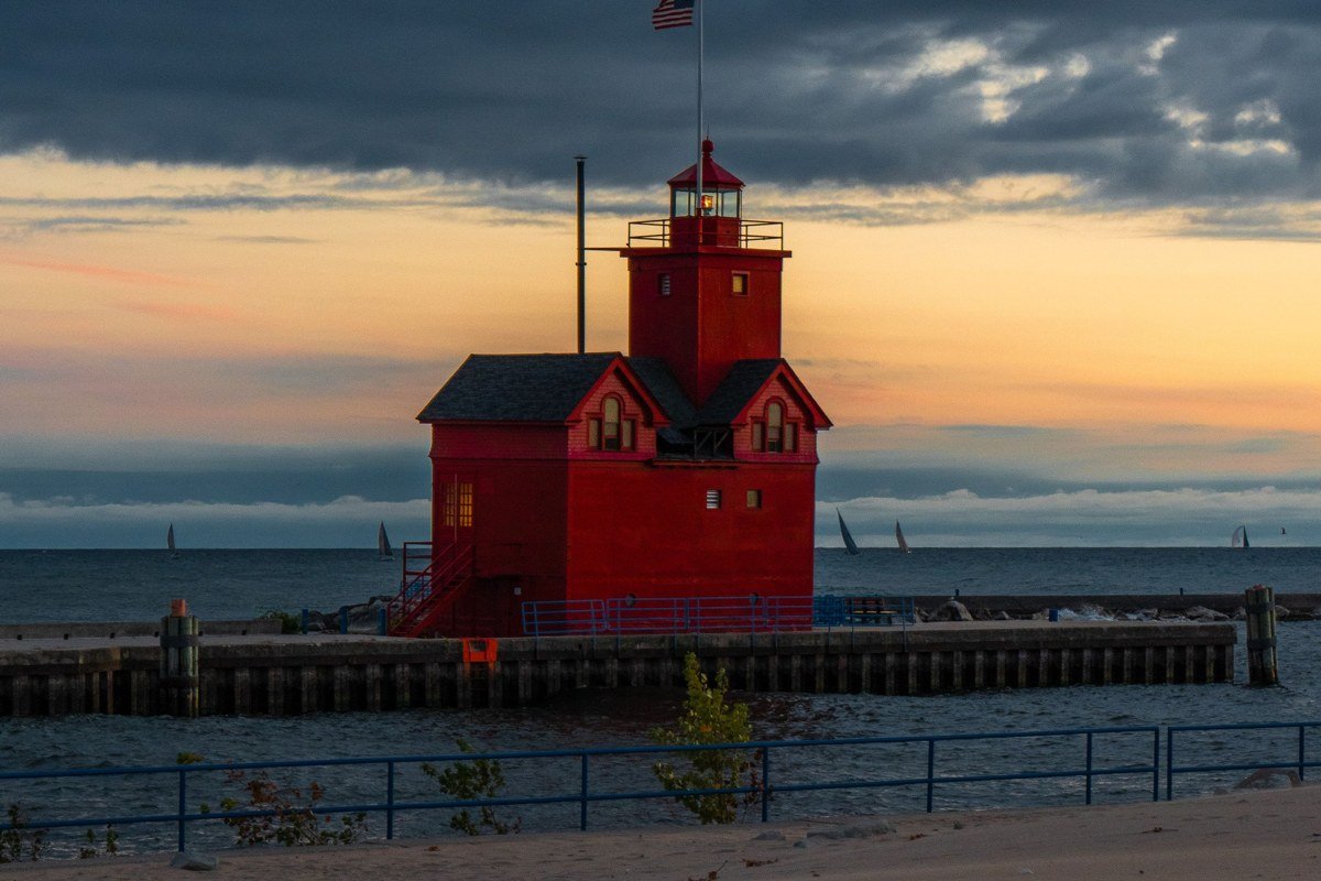
Eagle Harbor sits on the Keweenaw Peninsula, the narrow finger of land that pokes furthest into Lake Superior, and the fog behaves differently here than at Whitefish Point. Because the light stands on a low cliff, mist rolls up and over the edge rather than just sitting flat on the water, which gives you layered, moving fog instead of a static blanket. The Keweenaw is also a genuine drive from anywhere, roughly five hours north of Green Bay, Wisconsin, so most people combine it with Copper Harbor and make a weekend of the whole peninsula rather than a day trip. The museum inside the lighthouse charges a small admission (typically $5), but the grounds and cliffs are open and free to walk at dawn, before staff arrive.
Also worth a look
Three more UP lighthouses catch fog reliably enough to mention, though none quite earns a full morning on its own itinerary.
Marquette Harbor Light sits at the edge of Presque Isle Park, an easy walk from downtown Marquette (the UP’s largest city, and still under 20,000 people, which tells you everything about how rural this region stays). It’s less dramatic than Crisp Point or Au Sable, but it’s the one you can pair with a real breakfast in town right after.
Sand Point Light, on the edge of Munising, catches fog off the shallow, calmer water of Munising Bay rather than open Lake Superior, which means glassy reflections more often than at the wave-exposed points further east. It’s a convenient add-on if you’re already booked on a Pictured Rocks boat tour, since the tour docks are a five-minute walk away.
Seul Choix Point (locals say “sis-shwa”) is the odd one out geographically: it faces Lake Michigan, not Superior, tucked into the UP’s quieter southern shore. The fog here is gentler and less predictable, more soft haze than wall, but it’s proof the mist isn’t only a Superior phenomenon, and it’s usually far less crowded than anything near Munising or Marquette.
Point Iroquois Light, Michigan
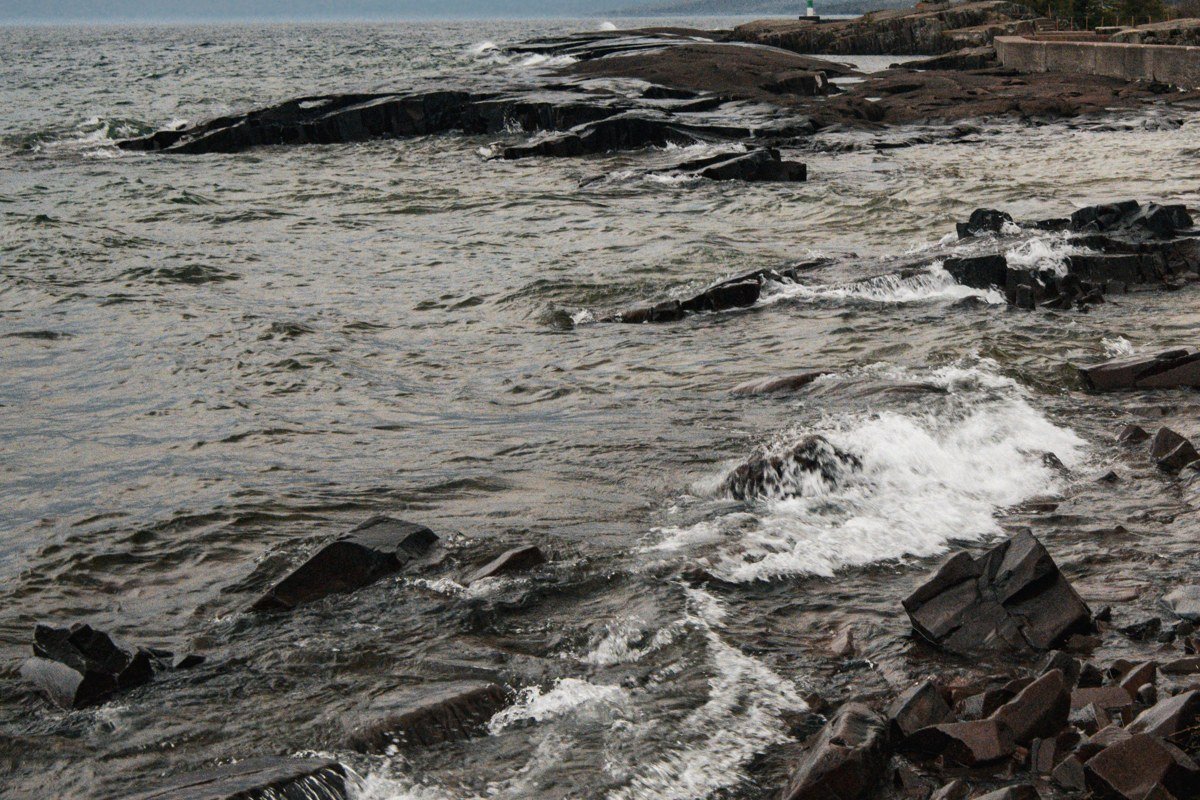
Point Iroquois overlooks the narrows where Lake Superior funnels toward the St. Marys River, which means freighters pass closer to shore here than almost anywhere else on the UP’s north coast. On a foggy morning you’ll sometimes hear a ship’s horn before you can see the hull, which is the whole reason lighthouses and foghorns existed here in the first place. It’s an easy add-on if you’re already headed to or from Sault Ste. Marie, about 15 miles east. There’s no admission fee to walk the grounds; the small museum inside asks for a donation instead.
Copper Harbor Light, Michigan
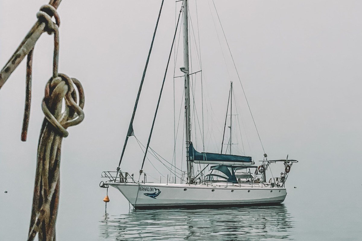
This is the only lighthouse on the list you can’t walk to, and that’s the point. It sits at the very tip of the Keweenaw Peninsula, accessible only by the seasonal tour boat out of Copper Harbor or by kayak if you know the water. The Copper Harbor Lighthouse boat tour runs through the Keweenaw’s local operator for around $38 per adult, with morning departures the ones worth booking ahead for if you want any shot at fog; afternoon runs are more about the history talk than the mist. Seeing the light wrapped in fog from a small boat, with the rest of the Keweenaw disappearing behind you, is a different experience than shooting a lighthouse from a parking lot. Boat tours generally run only in summer (roughly Memorial Day through early October), so this isn’t a shoulder-season option like the rest of the list, and it’s the one entry here where you’re at the mercy of someone else’s schedule as much as the weather’s.
Frequently asked questions
What is the best time to visit the Upper Peninsula for lighthouse and fog photography?
Late May through June and again in September give you the biggest temperature gap between the air and Lake Superior’s water, which is what produces reliable morning fog. Even in that window, plan on multiple mornings if you can. I’ve had two-for-two mornings at Big Bay Point and totally skunked ones at Whitefish Point the same week. Winter has its own stark beauty but many of these lighthouse access roads, including the one to Crisp Point, aren’t maintained once snow sets in.
How long does it take to drive across the Upper Peninsula?
Straight through on US-2, without stops, it’s roughly 5 to 6 hours from the Wisconsin border near Ironwood to the Mackinac Bridge at St. Ignace. Add another hour or two if you’re detouring north on M-28 to Munising and Marquette, which most lighthouse-chasers do.
What is the Upper Peninsula known for besides lighthouses?
Waterfalls, agate hunting along the Lake Superior shoreline, and enormous stretches of state and national forest are the big draws, along with a Finnish and Swedish heritage you’ll notice in small-town bakeries and place names. It’s also genuinely rural, so gas stations and cell service both thin out fast once you’re off the main highways.