
The Hoh Rain Forest in Washington swallows you slowly, moss overhead, a green wall closing in a few feet past the trail. Drive four hours east into central Oregon’s high desert and the fog behaves completely differently: it pools in valleys like spilled milk, then burns off by 10am and leaves you standing in dry sagebrush wondering if you imagined it. Same regional fog season, two opposite moods. That contrast is the whole premise of this pacific northwest road trip: instead of treating fog as bad weather to wait out, you chase it, and you pick your stops based on when and how it shows up. I did the North Cascades and Rainier legs in late September one year and got skunked at Paradise two mornings running before the third finally delivered, which is the honest version of how this trip goes.
These nine spots are sorted by effort. The first tier suits anyone flying into Seattle, Washington or Portland, Oregon for a long weekend. The middle tier wants a rental car and four or five days. The last tier is for people already thinking about a 10 or 14 day loop and willing to build a whole day around one overlook.
Easy wins (a weekend, no planning)
Cannon Beach, Oregon
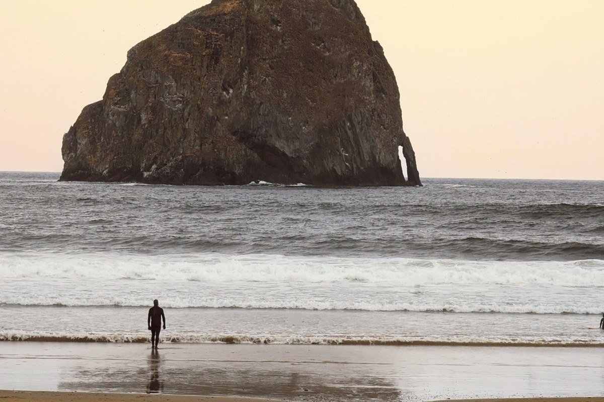
Haystack Rock does its best work when it’s half gone. Coastal fog rolls in most mornings from late spring through summer, thick enough that the 235 foot sea stack fades to a silhouette and sometimes vanishes entirely before your eyes as you watch. Get there before 9am for the best chance, since it often burns off by midday in July and August.
Effort: About 90 minutes from Portland, no reservation needed, free beach access, park in the public lots off Hemlock Street.
Multnomah Falls, Oregon
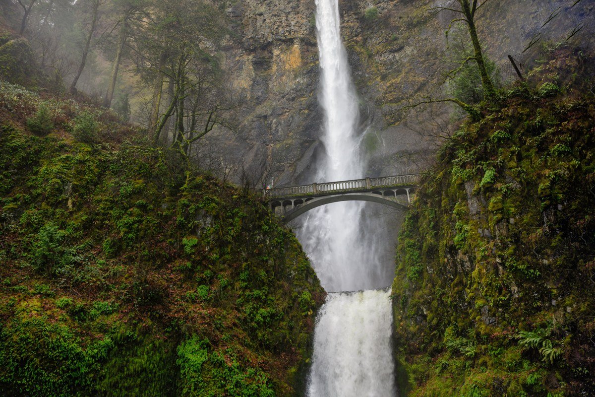
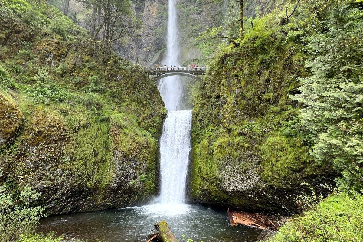
This is the one everyone photographs, and it’s crowded for a reason. Cold air off the Columbia River Gorge pools against the basalt cliffs, and on damp mornings the upper falls disappear into a gray ceiling while the lower tier keeps roaring. Parking is the actual obstacle here, not the hike: the lot fills by 8am on weekends, and Oregon now requires a timed permit for the lot during peak season (roughly May through September). Skip the permit hassle by parking at Wahkeena Falls a half mile west and walking the connecting trail in.
Effort: 45 minutes from Portland, permit required for direct parking in summer, otherwise free.
Deception Pass, Washington
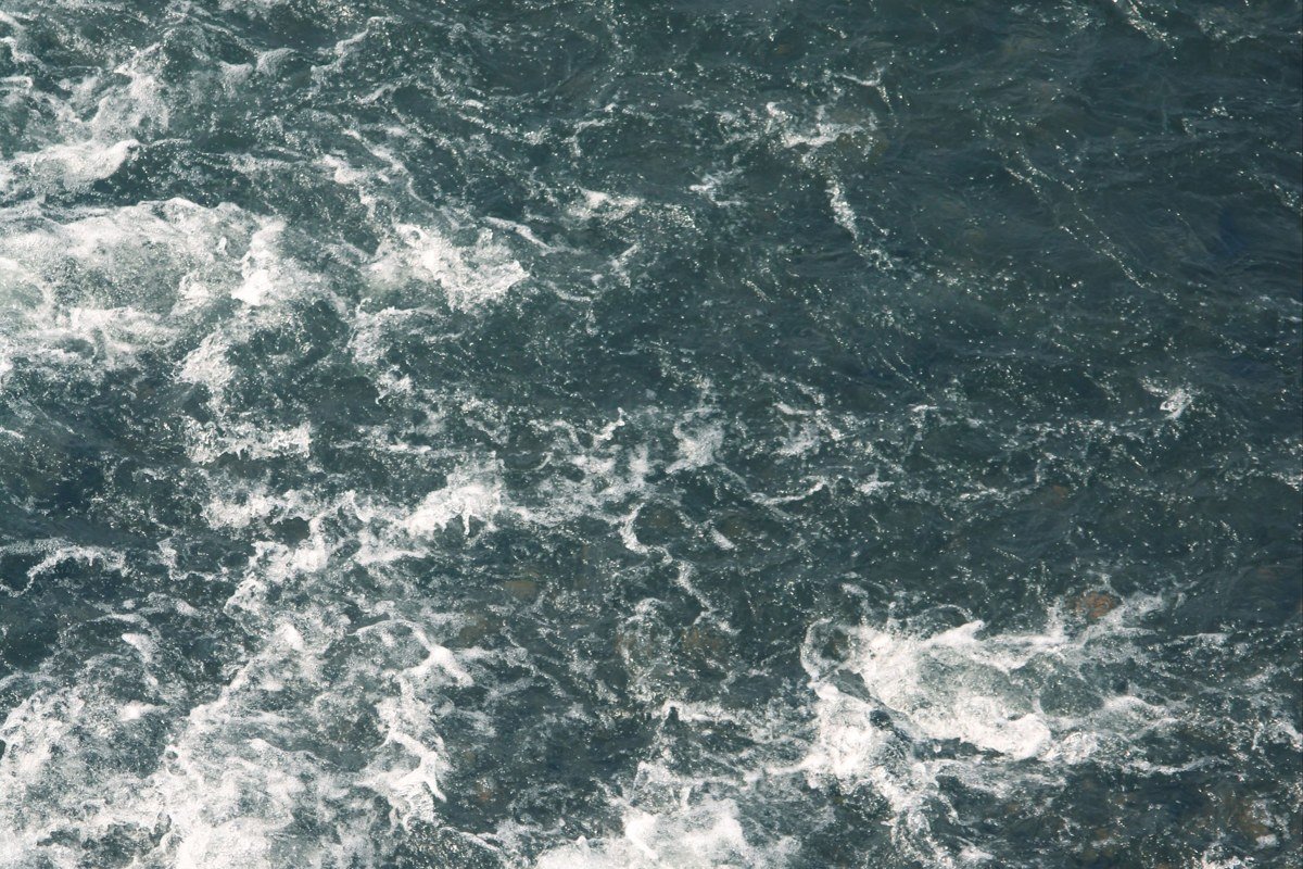
Fog and tidal current make this bridge feel like it’s floating over nothing. Deception Pass sits between Whidbey Island and Fidalgo Island, and marine layer off Puget Sound tends to settle right at bridge height on cool mornings, especially in the shoulder months of April, May, September, and October. Walk out onto the pedestrian sidewalk on the bridge itself for the full effect, but hold onto kids and hats. It’s windy.
Effort: 90 minutes north of Seattle, no permit, state park pass required to park at the overlooks.
Worth the drive
Hoh Rain Forest, Washington
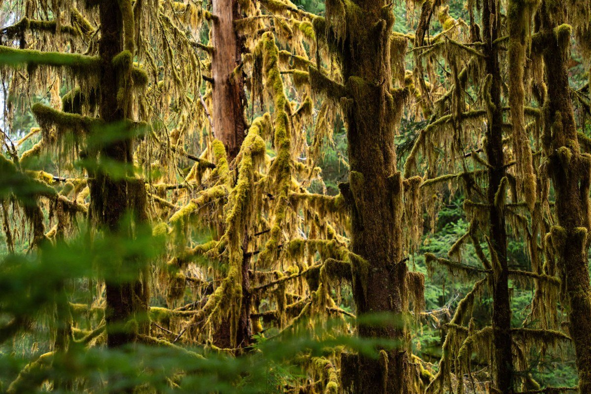
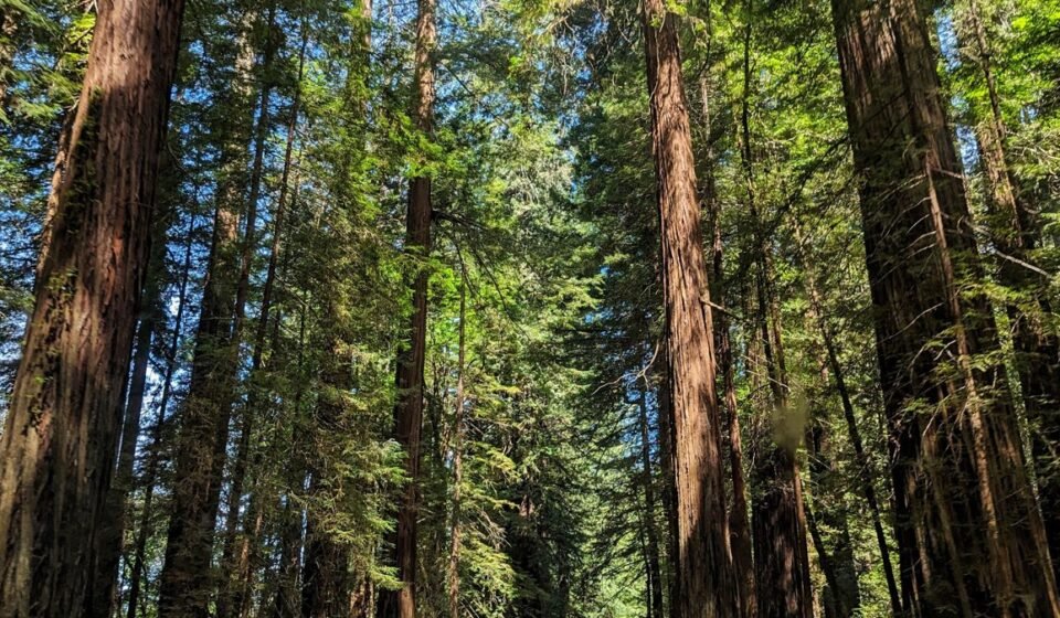
This is what most people picture when they hear “Pacific Northwest fog,” and it earns the reputation. The Hoh sits on the wet side of Olympic National Park and gets some of the highest rainfall in the contiguous US, which means low cloud sits in the canopy on a huge share of mornings, year-round. The short Hall of Mosses loop is the easy version; the longer Hoh River Trail toward Five Mile Island gives you miles of the same effect with almost nobody on it.
Effort: About 3.5 hours from Seattle, one way, mostly on Highway 101. No permit for day hiking, but the access road has seasonal closures for flooding, so check conditions before you drive out in winter.
Columbia River Gorge overlooks, Oregon
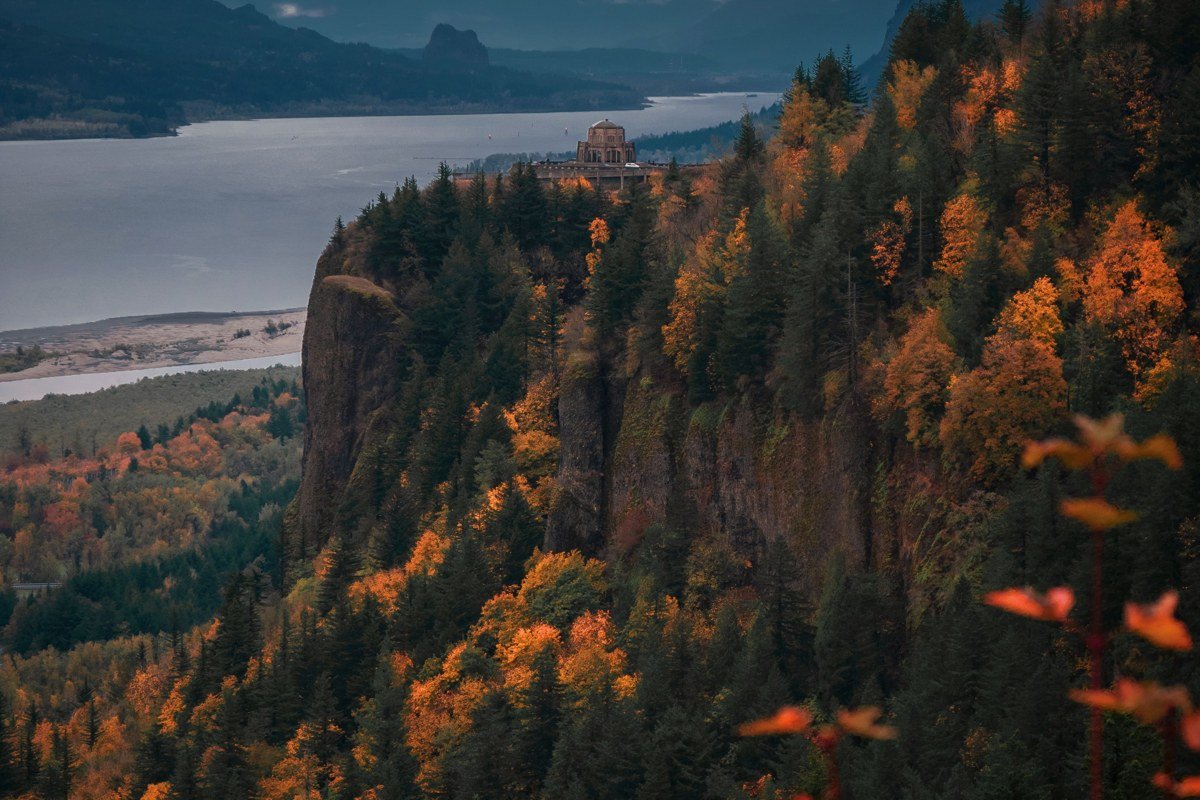
Vista House at Crown Point is the postcard shot: a stone rotunda sitting atop a 733 foot cliff at Crown Point, and on the right morning the entire gorge below fills with fog while you stand in clear air above it, an honest-to-god cloud inversion. This doesn’t happen every day. Late fall through winter, after a cold clear night followed by a damp morning, is the best bet. Check the gorge webcams the night before rather than guessing.
Effort: 40 minutes from Portland, free, but the inversion is weather-dependent so build in a flexible day if you can.
Trail of Ten Falls, Silver Falls State Park, Oregon
You walk behind several of these waterfalls, and on a cold morning the spray and the ambient fog merge so completely you can’t tell where one ends and the other starts. The full loop covers about 7.2 miles and passes ten named falls; if that’s too much, the South Falls section alone is under 2 miles round trip and delivers the best behind-the-curtain moment. Weekday mornings in November and December are quiet and cold enough for real fog without summer crowds.
Effort: About an hour southeast of Salem, moderate 7.2 mile loop (or a shorter 2 mile option), state park day-use fee applies.
Earn it (long haul, big payoff)
Crater Lake rim road at dawn, Oregon
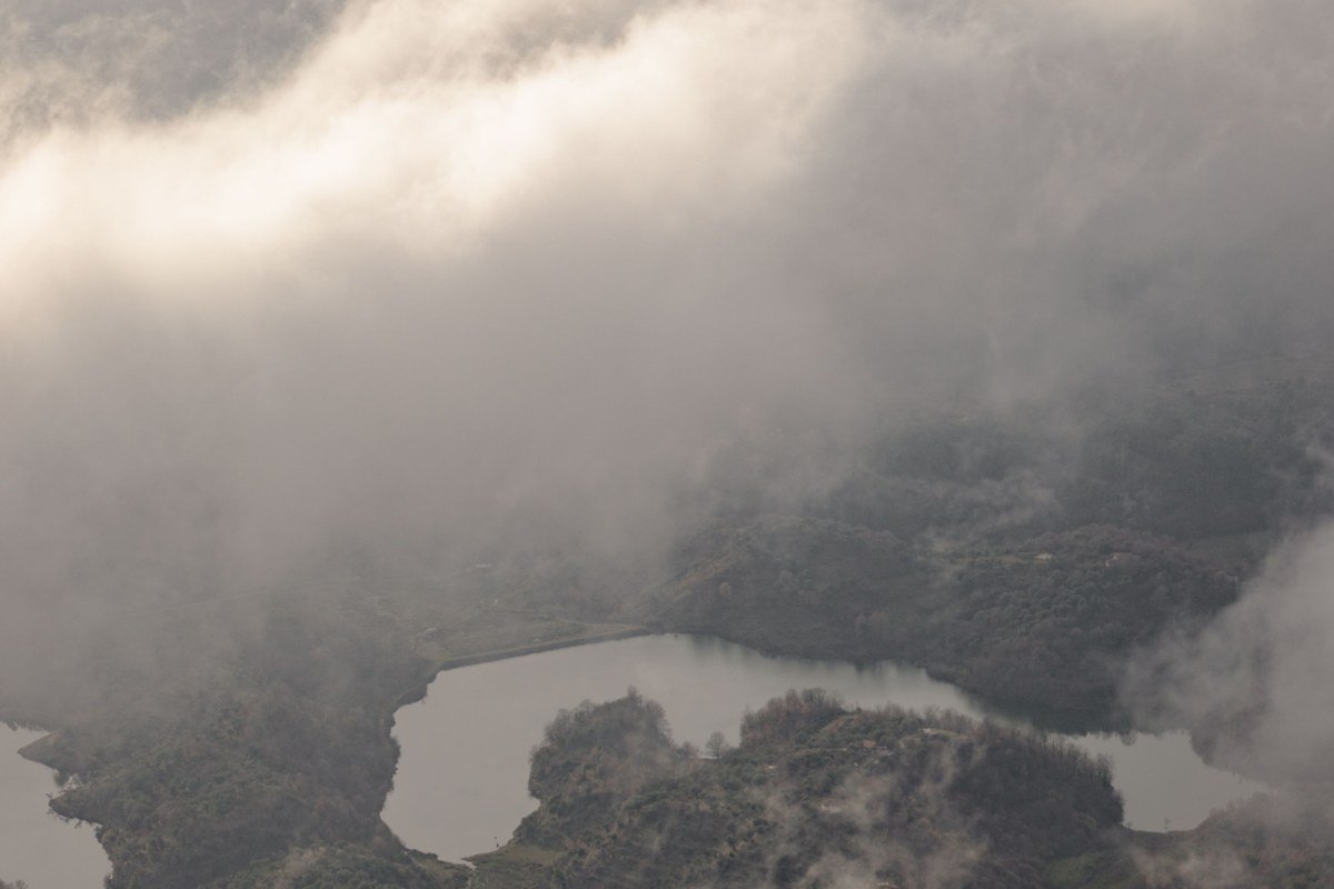
Crater Lake makes its own weather. The lake is deep enough and cold enough that fog forms over the water surface even on clear mornings, then lifts in patches to reveal the blue underneath in pieces rather than all at once. Rim Drive, the 33 mile loop around the caldera, is only fully open roughly July through October; the rest of the year snow closes sections, sometimes into July in a heavy snow year. This is not a stop to bolt onto a coastal itinerary. It’s inland and it’s a genuine detour, so plan to sleep near the rim rather than drive in for sunrise: the lodge inside the park books out months ahead for summer, but Mazama Village Motor Inn nearby and the town of Prospect about 40 minutes south usually have rooms if you book a few weeks out.
Effort: About 4.5 hours from Portland or 5.5 from Seattle, no permit for the drive, but check the National Park Service road status page before you commit, since closures shift year to year.
North Cascades Highway pull-offs, Washington
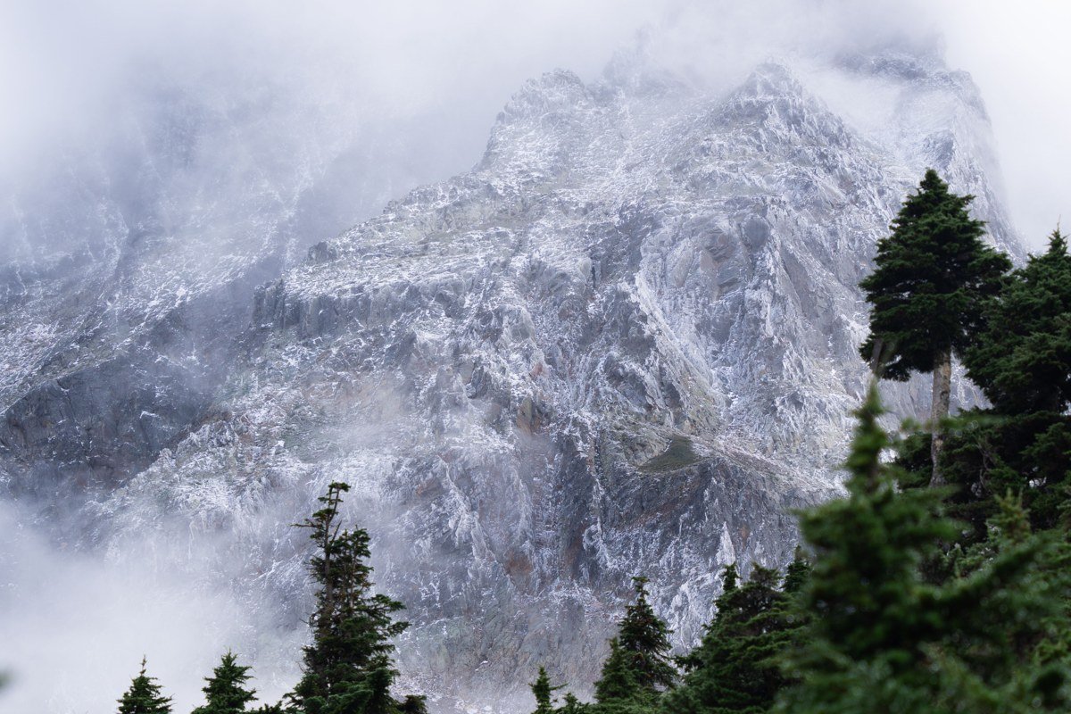
Highway 20 through the North Cascades closes completely every winter, usually from some point in November until as late as May, because of avalanche danger, so this is strictly a warm season stop. When it’s open, the payoff is peaks poking through valley fog like islands, best seen from the Washington Pass and Diablo Lake overlooks in the early morning before the day’s heat mixes the air out. Cell service disappears for long stretches between Marblemount and Mazama, so download offline maps and tell someone your route before you go. This stretch also crosses the Pacific Northwest Trail, the roughly 1,200 mile route between Glacier National Park and the Washington coast; the Rainy Pass trailhead right on Highway 20 is one of its few easy road-access points, so it’s worth the ten minute detour if you want to stand on the actual trail rather than just read about it.
Effort: About 3 hours from Seattle to Washington Pass, seasonal road closure roughly November to May, no permit for the drive itself.
Mount Rainier’s Paradise area, Washington
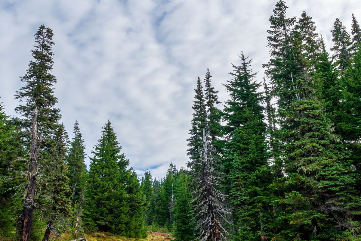
Rainier builds its own cloud cap often enough that it shapes every visit to Paradise, fog rolling through the wildflower meadows while the summit itself stays hidden for days at a stretch. That’s the trade-off: you might drive 2.5 hours and never see the mountain. Come anyway, since the meadows in fog, especially in the July and August wildflower window, are their own reward. Parking at Paradise fills early on summer weekends, often by 9am, so arrive at first light or plan for a wait.
Effort: 2.5 hours from Seattle, timed vehicle reservation required for the Paradise corridor on summer weekends, free otherwise.
Most people planning a week or two around this loop end up stitching together some version of tier one and tier two, and that’s a completely reasonable trip. For three nights, one rental car, and budget motels or a chain hotel, figure roughly $600 to $900 total once gas and food are in there, more like $900 to $1,300 if you stretch it to five nights or if you’re traveling in July and August when everything from coastal motels to Paradise parking gets tight. To move up a tier next time, build slack into the schedule rather than more stops. The best fog mornings can’t be booked in advance, and the single best upgrade you can make to any Pacific Northwest itinerary is giving yourself a spare, undirected day to chase whatever the sky is doing that morning.