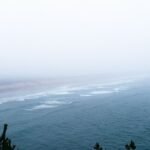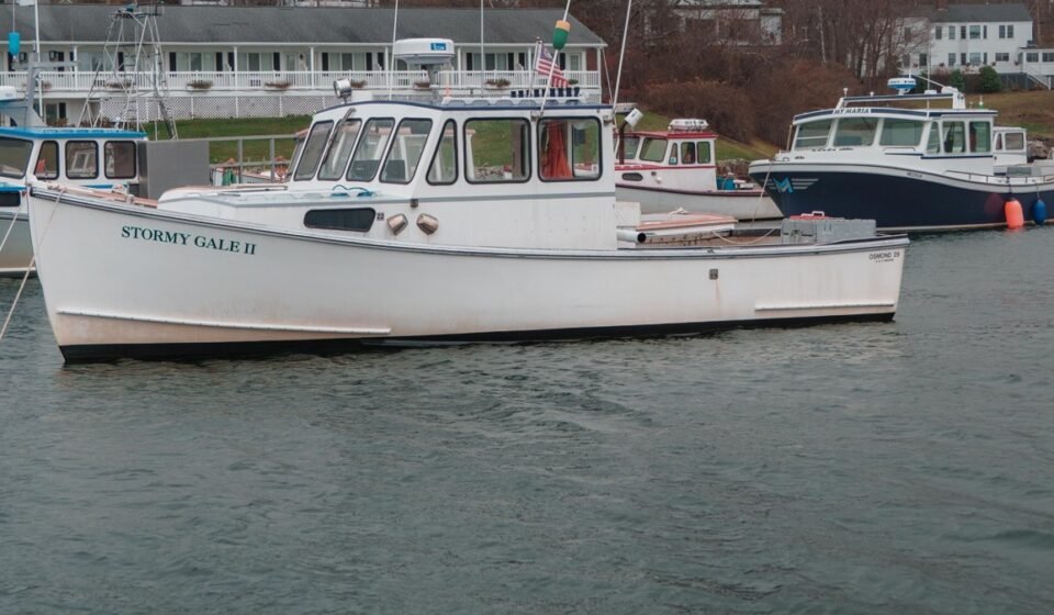

This loop runs about 220 miles round trip, starting and ending in Portland, Maine, and it’s built for three to five days depending on how long you linger at each harbor. The route hugs US-1 and its coastal spurs up to Stonington, Maine, then loops back inland before returning south, timed for the damp, gray mornings of late spring and early fall when sea fog rolls in off the Gulf of Maine and sits on the water until the sun burns it off, usually by mid-morning. Locals will tell you this is when these towns actually look like themselves: softened, quiet, stripped of the tour-bus glare that August brings.
Fog here isn’t a nuisance, it’s a fixture. Cold water meeting warm air off the Gulf of Maine produces it reliably from April through June and again in September, and photographers who live on this coast plan their mornings around it rather than around it clearing.
Stop 1: Kittery, Maine
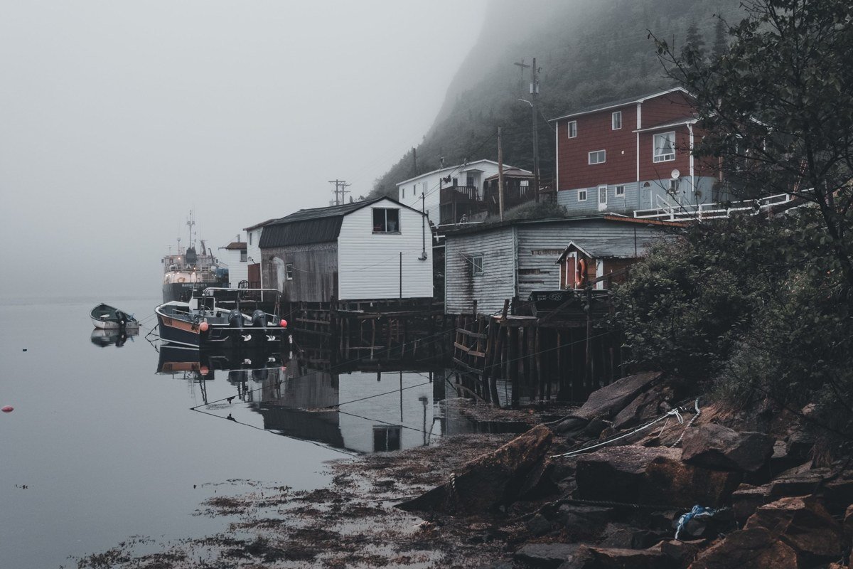
Kittery sits right at the New Hampshire border, about an hour north of Boston, Massachusetts, and it’s the town most people blow through on their way to the outlets without ever seeing the water. Skip the outlet strip on US-1 and head down to Pepperrell Cove instead, where working lobster boats stack up against a shoreline that fogs in hard on cool mornings. This is coastal Maine before it gets postcard-pretty, which is exactly the appeal. It’s also the most sensible starting point if you’re driving up from anywhere south of Maine, since it’s the first real coastal town you hit.
Next leg: 25 minutes north on I-95 or US-1 to Kennebunkport.
Stop 2: Kennebunkport, Maine
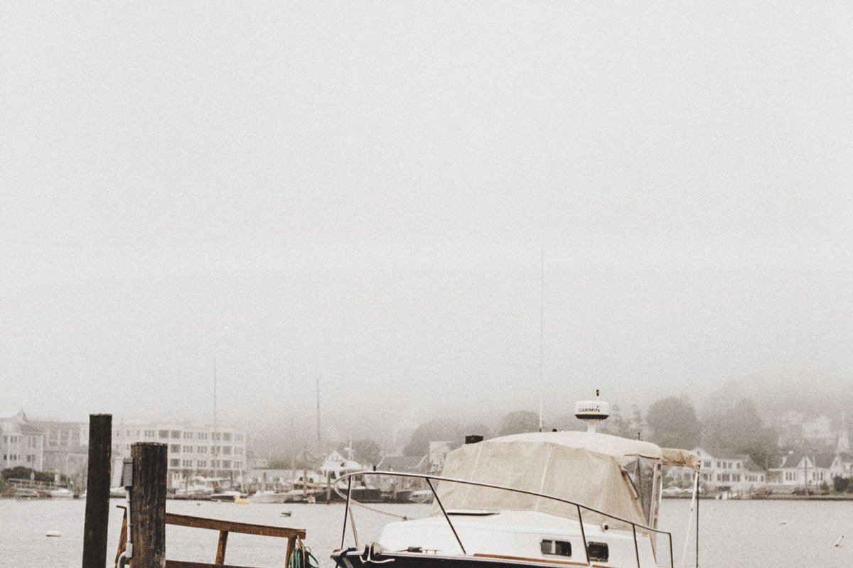
Kennebunkport is one of the coastal Maine towns people mean when they search for family beach towns, and Goose Rocks Beach and Kennebunk Beach both work for that. But the town itself, especially Dock Square and the walk out to Walker’s Point, turns almost monochrome in a fog, the white clapboard and church steeples losing their edges against gray sky and grayer water. Parking downtown is metered and genuinely tight from June through Labor Day, so if you’re doing this drive in shoulder season, you get the empty streets along with the fog. The Franciscan Monastery grounds off Beach Avenue stay open and free year-round if the shoreline is too socked in to see much else.
Next leg: 40 minutes north on US-1 to Portland.
Stop 3: Portland, Maine
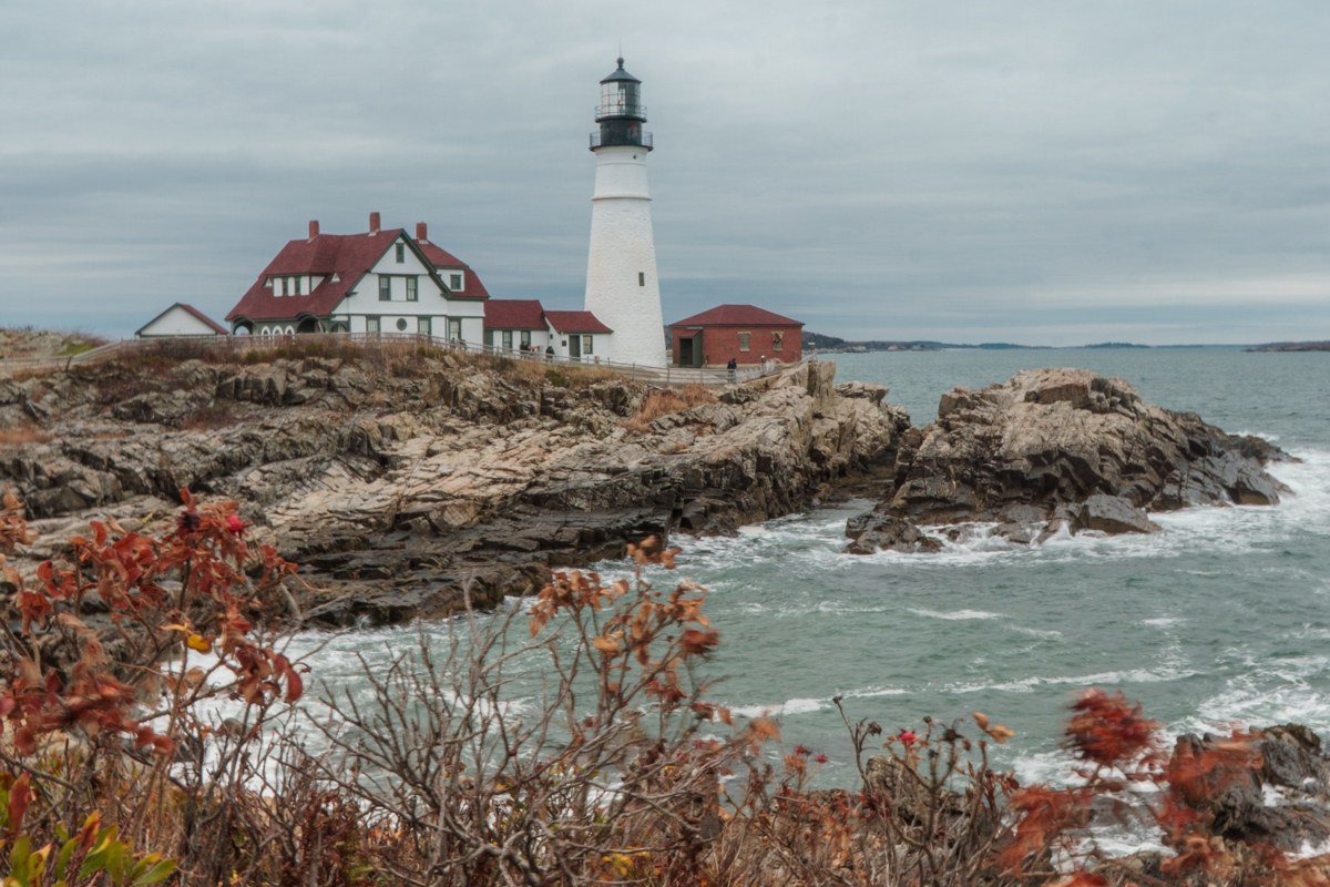
Portland is the biggest stop on this loop and the closest thing to a hub, with a real airport and the most lodging options if you want to break the trip here for a night. The old fishing piers along the Portland waterfront still land seafood daily, and Portland Head Light, a short detour into Cape Elizabeth, sits on a rocky point that catches fog rolling straight off Casco Bay. Go before 9am. By noon in summer it’s a parking lot both literally and figuratively. Note that the keeper’s museum inside the old light keeper’s house closes for the season after Columbus Day and doesn’t reopen until Memorial Day weekend, so a shoulder-season visit means the grounds and the view, not the exhibit.
Next leg: About 2 hours north on US-1 to Boothbay Harbor, or add 30 minutes if you detour through Brunswick.
Stop 4: Boothbay Harbor, Maine
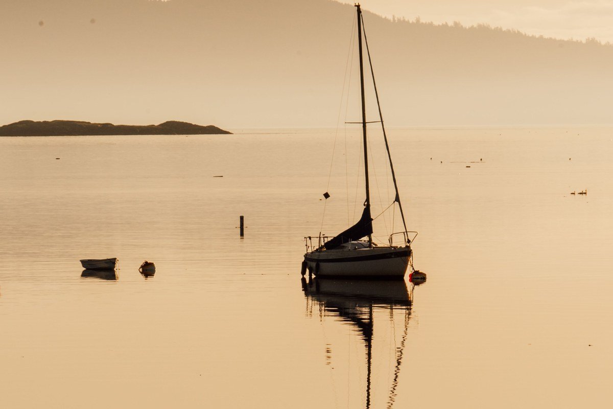
Boothbay Harbor is smaller and slower than Portland, built around a working harbor and a pedestrian footbridge that locals still use to cut across the water rather than drive around it. Fog collects here because the harbor is tucked behind a scatter of islands that block the wind, so mornings can stay socked in longer than at more exposed points up the coast. Innkeeper Dale Barnes at the Topside Inn, perched on a hill above the harbor, has told guests the footbridge disappears into the fog from her porch most spring mornings before eight. This is a good base if you want one town to sit still in for two nights rather than keep moving.
Next leg: 1 hour on US-1 to Rockland, or 1.5 hours with a stop in Wiscasset for lunch.
Stop 5: Rockland, Maine
Rockland is the hinge point of this whole trip, and it matters for the search that keeps coming up: coastal Maine towns north of Rockland are a different animal from the towns south of it. South of here, US-1 is busier, more built up, more geared toward day-trippers from Boston. North of Rockland, the coast gets ragged, the peninsulas get longer, and the crowds thin out fast. The Rockland Breakwater is a nearly mile-long granite walk out to a lighthouse, longer and more exposed than the shorter jetty walks at Boothbay or Camden, which is what makes the fog feel like it’s closing in from both sides rather than just sitting offshore. The footing is uneven and wet granite is slick, so this isn’t the stop for flip-flops.
Next leg: 45 minutes north on US-1, then Route 131 south, to Port Clyde.
Stop 6: Port Clyde, Maine
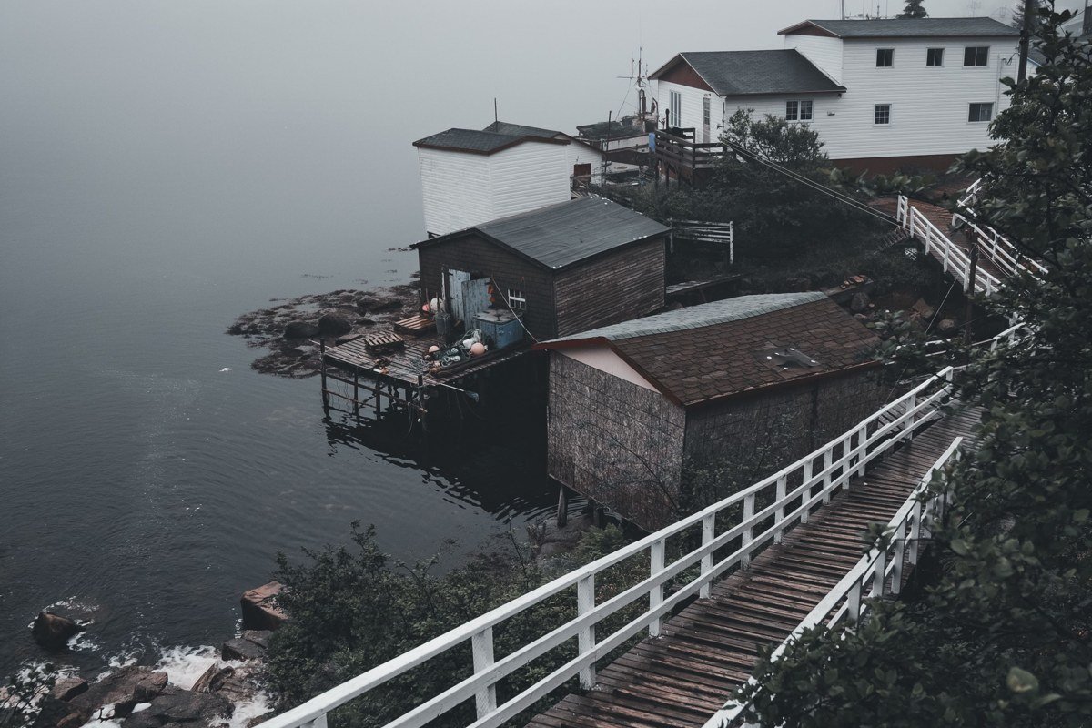
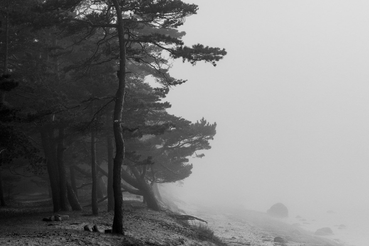
Port Clyde is the end of the road, literally, at the bottom of the St. George peninsula, and most visitors miss it because it requires actually turning off US-1 and driving somewhere with no other reason to be there. That’s the point. This is a one-store, one-dock, working fishing village, and the Monhegan Boat Line’s mail boat, the Laura B or the newer Elizabeth Ann depending on the run, leaves from here for Monhegan Island. Round-trip fare runs about $45 for adults, the crossing takes roughly an hour each way, and the schedule thins out considerably after Columbus Day, so check sailing times before you plan a shoulder-season detour around it. On a foggy morning the boat seems to just dissolve into the water a few hundred yards out. If you have time, ride out to Monhegan for the day; it has no cars, and the fog off its cliffs behaves differently than harbor fog, thinner and faster-moving, since there’s nothing onshore to trap it.
Next leg: Back up Route 131 to US-1, then north about 1 hour 15 minutes to Camden.
Stop 7: Camden, Maine
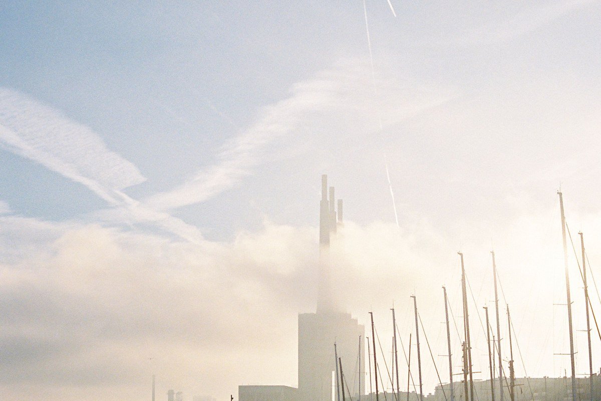
Camden is where the coastal-mountain combination that Maine tourism leans on hard actually delivers. Mount Battie rises right behind a harbor full of windjammer schooners, and on a foggy morning you can stand at the summit overlook and watch the mast tips poke up through a fog layer sitting on the water below while the sky above stays clear. That inversion is specific to this stretch of coast, where the mountain meets the harbor at close range. Camden gets called overrated by some Mainers who think it’s too polished and too expensive, and there’s some truth to that in July. Off-season, with the tour boats tied up and the fog in, it earns the reputation back.
Next leg: About 1 hour north on US-1, then Route 175 and Route 15, to Stonington.
Stop 8: Stonington, Maine
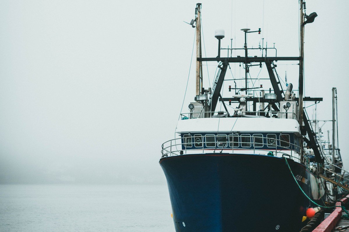
Stonington sits at the far end of Deer Isle, reached by a single causeway and a suspension bridge posted at a 24-ton weight limit, worth knowing before you bring anything larger than a standard pickup or a small RV across. It’s the biggest lobster port in the state by volume, not the prettiest-postcard kind of harbor, and that working grit is why it photographs so well fogged in: stacked traps, patched boats, granite piers the town quarried and shipped south for a century. Local photographer Peter Ralston, whose gallery sits right on Main Street, has spent decades shooting this working waterfront specifically because the fog flattens the color and puts the emphasis back on shape and texture. Acadia National Park and Mount Desert Island are another hour northeast if you want to extend the trip, but Stonington is a fitting place to turn around.
Doing it in reverse, or if you only have 3 days
Running this loop in reverse, Stonington to Portland, works just as well and puts the morning fog behind you as you drive rather than into it, which some photographers actually prefer for visibility on the road. If you only have three days, cut it to Portland, Boothbay Harbor, Rockland, and Camden, skipping Kittery, Kennebunkport, and the Port Clyde detour entirely. That shorter version still gives you the north-of-Rockland shift in character, the breakwater walk, and the Mount Battie fog inversion, the three stops locals bring up first when this topic comes up at all.