
The mistake most people make is planning an Oregon coast trip around sunshine. They check a forecast, see clouds, and reschedule for what they assume will be a clearer week. Then they miss the exact conditions that make this coastline look the way it does in every photo that stopped their scroll: sea stacks rising out of a marine layer so thick the rock looks like it’s floating on nothing.
That fog isn’t a flaw in the plan. It’s a function of a cold ocean current meeting warm land air, most reliably from late spring through midsummer, thickest in the early morning and burning off (sometimes) by early afternoon. The coastline’s geology, basalt headlands and stacks left behind as softer rock eroded away, gives the fog something dramatic to wrap around. Where Highway 101 runs right along the bluff, you get pullouts practically built for this exact effect.
This is for travelers who want the moody, cinematic Oregon coast, not the postcard-blue-sky version, and who don’t mind driving 101’s curves at 45 mph to get it.
The North Coast
The northern stretch, closest to Portland, sees the thickest and most frequent fog because the Columbia River mouth and cooler water temperatures keep the marine layer stubborn well into summer. It’s also the most crowded section of 101, so early mornings do double duty: better light, fewer cars.
Cannon Beach, Oregon
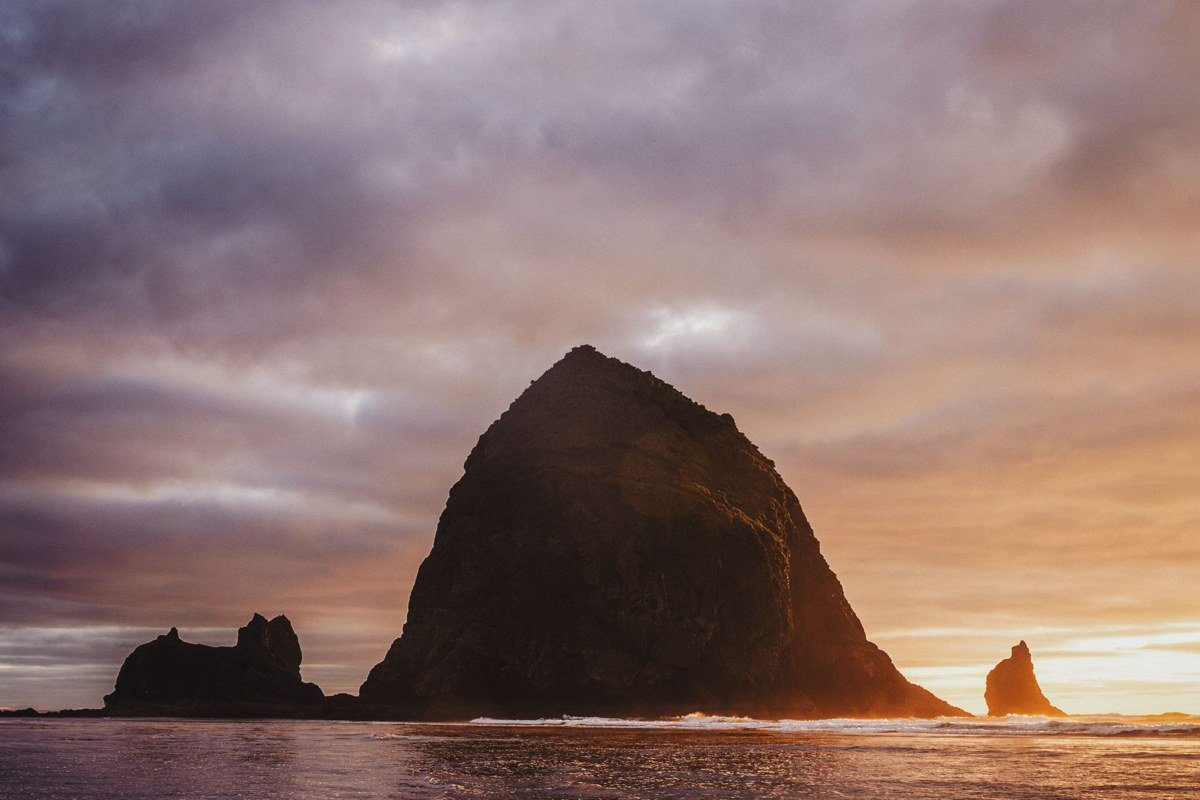
Haystack Rock is the sea stack most Americans have seen without knowing its name, and fog turns its 235-foot bulk into a shadow that seems to hover above the sand. I got there at 6:40 a.m. on a July morning and had the tide pools to myself for almost an hour before the first tour bus pulled in. Parking downtown fills fast by mid-morning in summer; the beach-access lots off Hemlock Street are your best bet if you’re there before 9 a.m. If you’re staying over, the Hallmark Resort sits right on the beach and is worth the splurge for a fog-watching room with a balcony.
Pair it with: Ecola State Park, an 8-minute drive north, for a higher vantage point over the same fog bank.
Ecola State Park, Oregon
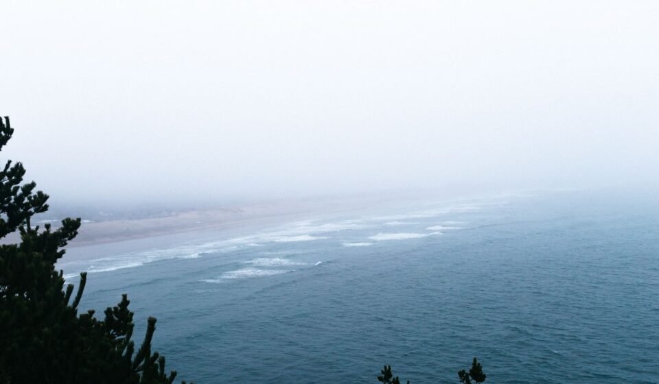
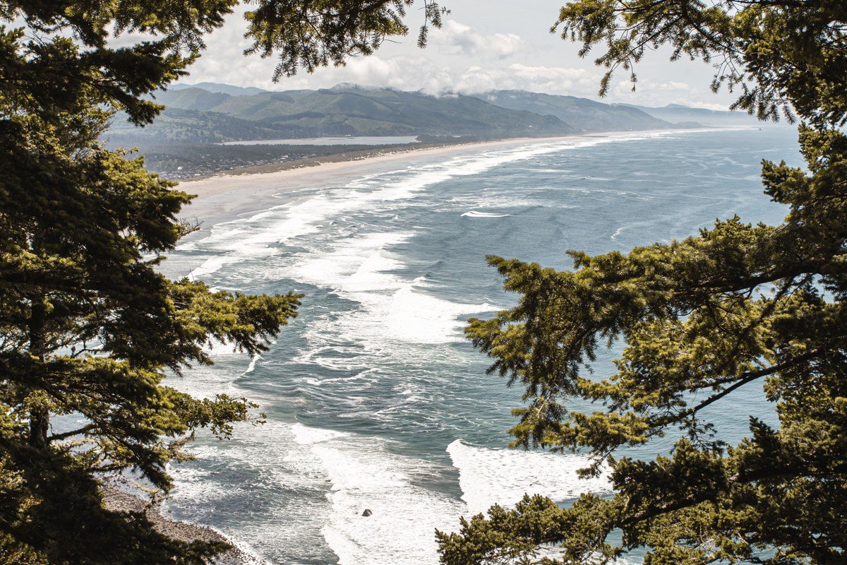
From the main viewpoint here you look south down a coastline of stacks and headlands stacked into the mist like a receding line of ships. The park charges a per-vehicle day-use fee, and the lot at Indian Beach can fill by late morning on weekends, so this is another early-start spot. Trails through Sitka spruce forest connect to Cannon Beach if you’d rather hike than drive.
Oswald West State Park, Oregon
Named for the governor whose early-1900s efforts to keep Oregon’s beaches public eventually became the 1967 Beach Bill, this park is a fitting stop precisely because that law is why you can walk this entire coastline’s wet sand freely, no matter who owns the bluff above it. The half-mile walk into Short Sand Beach through old-growth forest feels several degrees cooler and mistier than the highway just above it. Surfers paddle out here even in fog thick enough to hide the lineup from shore. The park’s small, walk-in Nehalem Bay-adjacent camp sites (first-come, first-served) are a good, cheap base if you want to be on the trail before anyone else.
Pair it with: Manzanita, an 8-minute drive south, for a flatter, more open beach walk if the forest trail feels like enough hiking for one day.
The Central Coast
Here the highway pulls closer to dramatic headlands, and the towns get more spaced out. This is the stretch where the guidebook-famous stops (the aquarium, the sea lion caves, the dunes) live, so it also carries the heaviest summer traffic. The fog is still frequent, but it tends to burn off earlier than up north.
Cape Kiwanda, Pacific City, Oregon
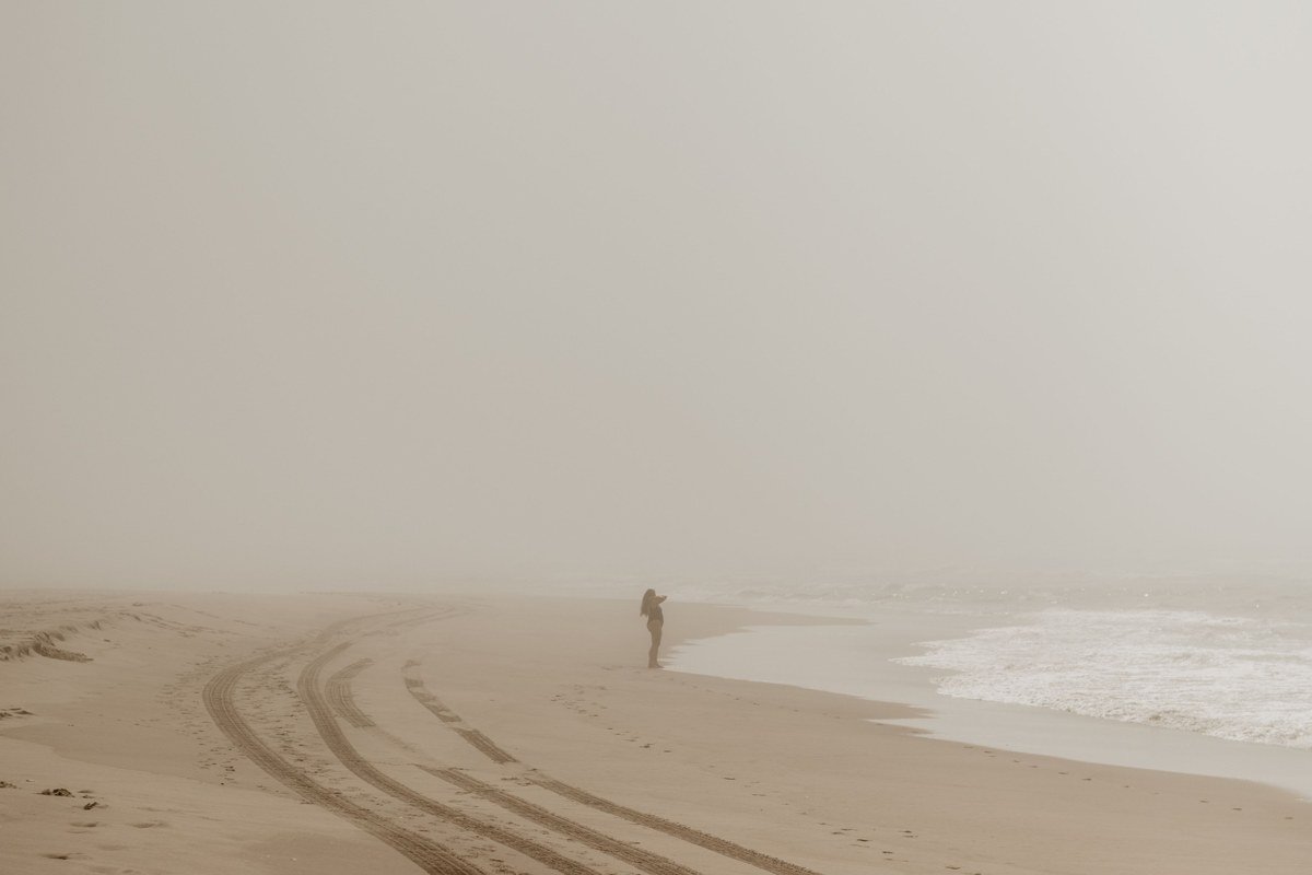
Pacific City is one of the few places left on the Oregon coast where a dory fleet, flat-bottomed boats launched straight through the surf, still works in front of a sandstone headland disappearing into low cloud. The sand dune climb up the cape is steep and loose; go slow and stay back from the crumbling edges, since falls here are a real and recurring hazard. Pacific City is also a rare stretch of coast without a town’s worth of parking meters, but the main lot still fills by late morning in July and August. The Inn at Cape Kiwanda looks straight at the dory launch and the fog bank beyond it if you want to watch from bed.
Pair it with: Cape Lookout, a 20-minute drive south, for a quieter, forested version of the same headland-in-fog effect.
Depoe Bay, Oregon
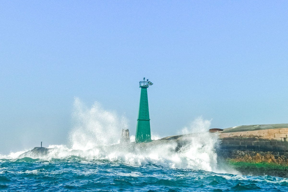
Billed as the world’s smallest navigable harbor, Depoe Bay is the place to combine sea-stack fog with whale watching. Gray whales migrate past here from roughly late December through January and again in spring, and a resident summer pod tends to stick around from about June through October (check with the Whale Watching Center for current sightings before you commit a morning to it). Charter boats run even in moderate fog, though captains will delay departure in a thick bank, so build slack into your schedule. The seawall itself, where waves shoot through a spouting horn, is free and needs no reservation.
Newport, Oregon
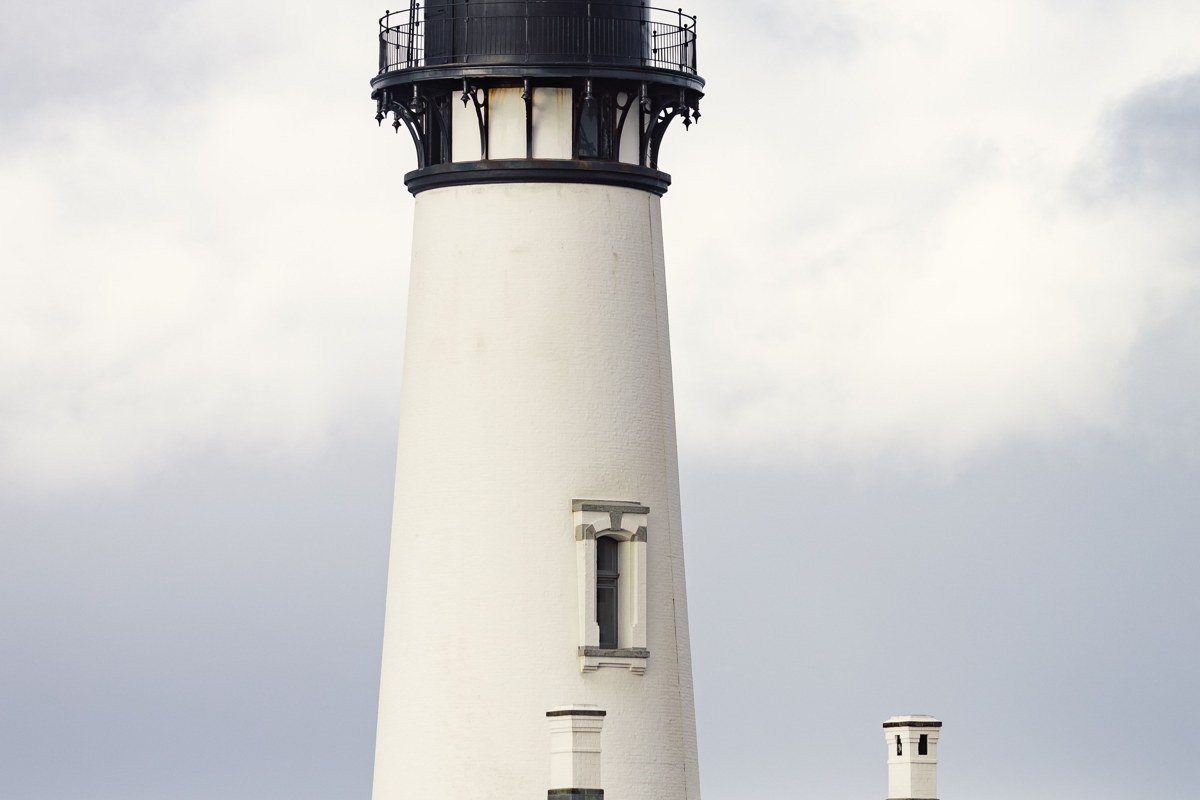
Yaquina Head, just north of town, has a cluster of black basalt stacks close enough to the lighthouse that on a foggy morning the light itself seems to be the only fixed point in the frame. The Oregon Coast Aquarium downtown is the rainy-day answer for this whole stretch, worth booking tickets for online in advance during summer weekends when timed-entry lines get long. Newport’s working bayfront, sea lions barking under the docks, is also a good fallback when fog makes headland viewpoints pointless. South Beach State Park, just across the bridge, has yurts if you want a heated place to dry out after a wet morning.
Yachats and the Sea Lion Caves, Oregon
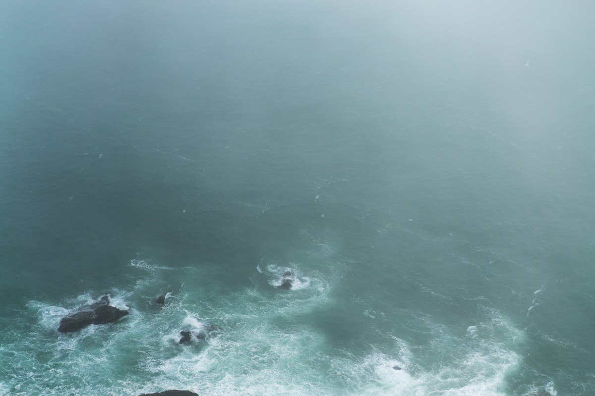
Cape Perpetua’s overlook sits roughly 800 feet above the water (the Forest Service lists the summit around 803 feet), high enough that on the right morning you’re looking down at a fog layer instead of standing inside one, with sea stacks piercing through it. The Sea Lion Caves, a natural sea cave you reach by elevator, are worth the admission mainly in fall and winter when more animals haul out; summer visits sometimes mean an empty cave and a fee that feels wasted, so check recent conditions before committing. The Cummins Creek Wilderness Area nearby is a good quiet hike if the coast itself is socked in solid.
Pair it with: Newport, about 25 minutes north, to bookend a full day on this stretch.
The Dunes Country
South of Florence, Highway 101 pulls inland around the Oregon Dunes, one of the few sections where you lose the ocean view entirely for stretches. It’s a deliberate break in the scenery, and a reminder that the highway follows geography, not just coastline.
Oregon Dunes National Recreation Area, near Florence, Oregon
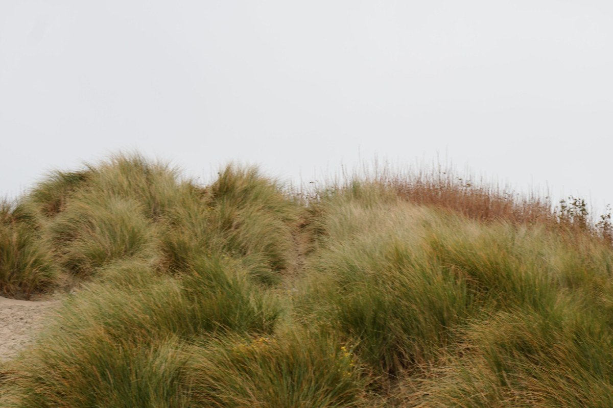
Fog behaves differently here: instead of wrapping rock, it pools in the hollows between 400-foot dune ridges, erasing the horizon entirely. Sand Dunes Frontier, on the south edge of Florence, rents sandboards for around $15 to $20 a day and runs guided ATV tours starting around $60 to $80 per person; Sand Land, also in Florence, offers similar rentals and dune buggy rides if you’d rather cover more ground than climb it on foot. This is inland enough that you won’t see sea stacks directly, but it’s the necessary detour between the central and southern coast’s stack-heavy stretches. Jessie M. Honeyman Memorial State Park, right at the dunes’ edge, has campsites shaded by trees just steps from open sand, a strange and worthwhile contrast.
The South Coast
The southern coast gets less tourist traffic than the north, partly because it’s a longer drive from Portland and partly because the timber industry’s decline hit these counties harder than the ones closer to the interstate. That’s a real economic story behind a coastline that still looks pristine from the pullouts. Fog is less constant here than up north, but when it rolls in over the stack fields near Bandon, it’s some of the most photographed weather on the whole coast.
Face Rock and Bandon, Oregon
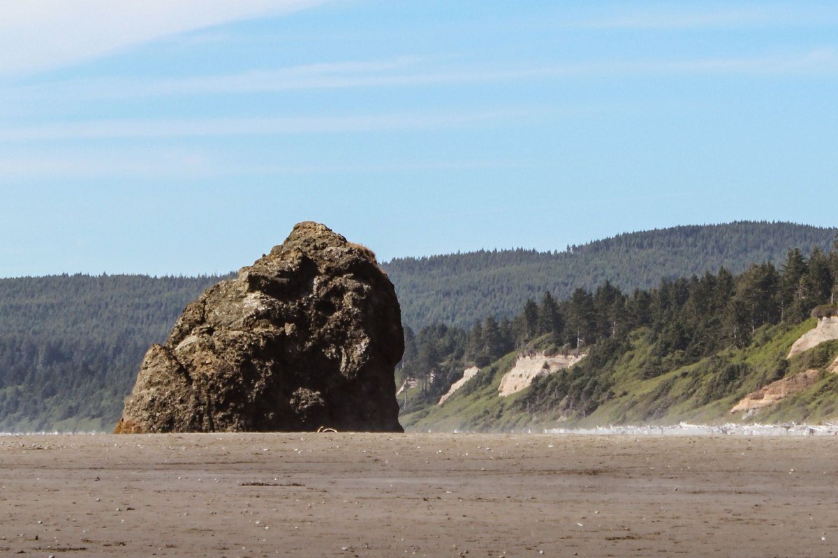
Bandon’s stack field is the densest on the Oregon coast: dozens of formations scattered across the beach at low tide. Fog here tends to hang low and patchy rather than blanket everything, so stacks appear and vanish as you walk. Check a tide table before you go; at high tide much of the flat beach access disappears and you’re stuck viewing from the bluff. The town itself runs on a mix of tourism and cranberry farming, with far fewer chain hotels than the central coast towns; Table Rock Motel, an older two-story spot a short walk from the beach, is a reliable, no-frills option for a fog-watching stay.
Pair it with: Cape Blanco, a 25-minute drive south, for the tallest lighthouse on the coast and a windier, wilder version of the same fog.
Samuel H. Boardman State Scenic Corridor, Oregon
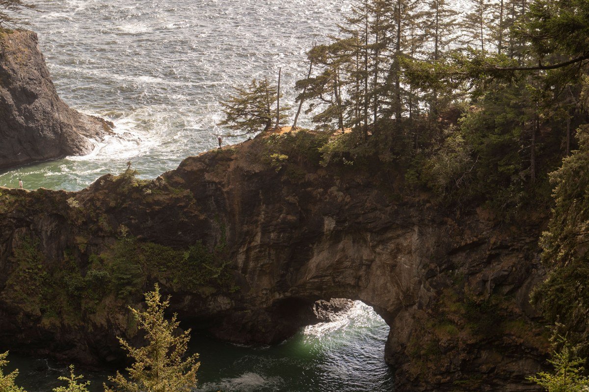
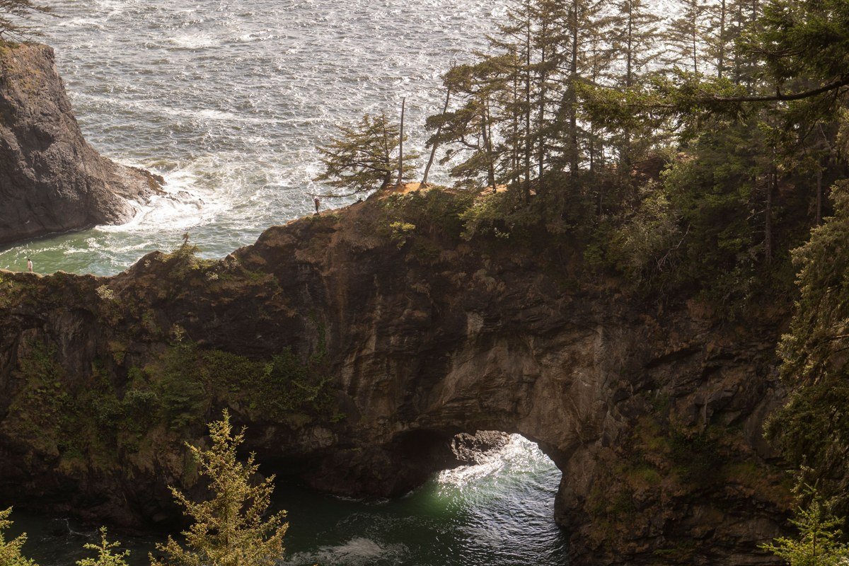
This 12-mile string of pullouts between Gold Beach and Brookings has more named viewpoints than most entire coastlines, and Natural Bridges and Arch Rock in particular turn into something genuinely eerie in fog, with sea arches framing nothing but white. There’s no entrance fee and no gate, just a series of unmarked-feeling turnouts off 101 (watch for the small brown signs near mile marker 340 if you’re coming from the north), so slow down or you’ll miss them. This stretch is also close enough to the California border that a Redwoods detour is realistic if you have an extra day.
If you only have a long weekend, pick the North Coast cluster: it’s the shortest drive from Portland, roughly 90 minutes to Cannon Beach, it has the most reliable fog, and Ecola, Cannon Beach, and Oswald West sit close enough together that you can hit all three without spending half your trip in the car. Just skip mid-July if you can; that’s when 101’s congestion gets bad enough to draw comparisons to Cape Cod’s summer traffic, and the fog you came for is competing with a parking lot’s worth of brake lights.