
Most people fly into Uyuni, spend a morning on the salt flat for the reflection shots, and leave. The surrounding altiplano, stretching across southwestern Bolivia at over 3,500 metres, holds landscapes that stop even experienced travellers mid-scroll: Laguna Colorada’s brick-red water broken by white borax islands that look, at sunrise, like something between a mineral painting and a fever dream. These eight places sit within a day’s drive of Salar de Uyuni, and nearly all of them will have fewer than a handful of visitors when you arrive.
1. Laguna Colorada
Laguna Colorada sits about four hours south of Uyuni inside the Eduardo Avaroa Andean Fauna National Reserve, and its colour is not a filter trick. The deep brick-red of the water comes from sediment, algae, and mineral pigments that shift from rust to burgundy depending on time of day and season. White borax islands float across the surface like ice floes, and thousands of James’s flamingos wade through the shallows in near silence. The best photography window is the hour after sunrise, when low-angle light catches the steam venting from nearby fumaroles and adds a genuinely otherworldly atmosphere. Come in the dry season (May through October) for cleaner reflections and better road access, but accept that temperatures at night will drop well below freezing even in July.
2. Sol de Mañana Geothermal Field
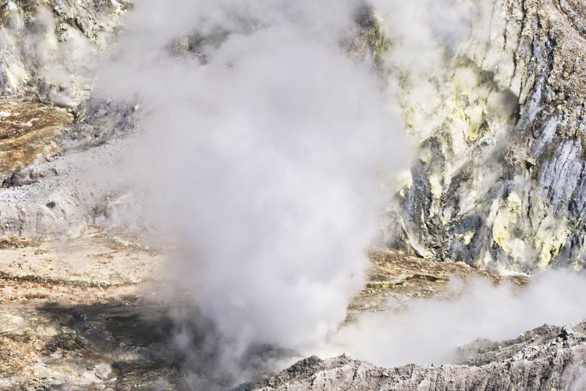
At roughly 5,000 metres above sea level, Sol de Mañana is one of the highest active geothermal fields on earth, and most tour groups pass through it between Laguna Colorada and the Chilean border without stopping long enough to feel its full strangeness. Mud pools bubble in craters the diameter of a small car, and steam columns sometimes reach several metres before the altiplano wind shreds them sideways. The sulphurous smell is intense. Walking the marked paths with a guide at the very start of day, before other vehicles arrive, gives you the sensation of being on a cooling planet rather than a tourist circuit. One honest trade-off: altitude sickness hits hardest here, so if you have been ascending quickly, build in an acclimatisation day in Uyuni town before pushing south.
3. Laguna Verde and Licancabur Volcano
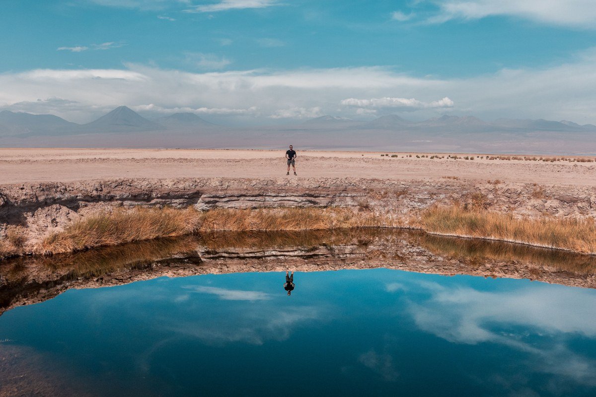
Laguna Verde is the southernmost major lake on the standard circuit and arguably the most compositionally perfect, because the perfectly conical silhouette of Licancabur volcano (a stratovolcano shared with Chile) rises directly behind it. The green colour comes from arsenic and other mineral compounds, so the water looks synthetic even under flat cloud. Most tours arrive here at midday when the wind has already turned the surface choppy and the reflection disappears. Arrive by 7 a.m. and the lake on calm mornings holds a mirror image of Licancabur precise enough to flip the frame and confuse the orientation. The border crossing into Chile at Hito Cajones sits just minutes away, which means this spot often feels more like a checkpoint than a destination. Treat it as the destination and let the logistics sort themselves out after.
4. Valle de las Rocas
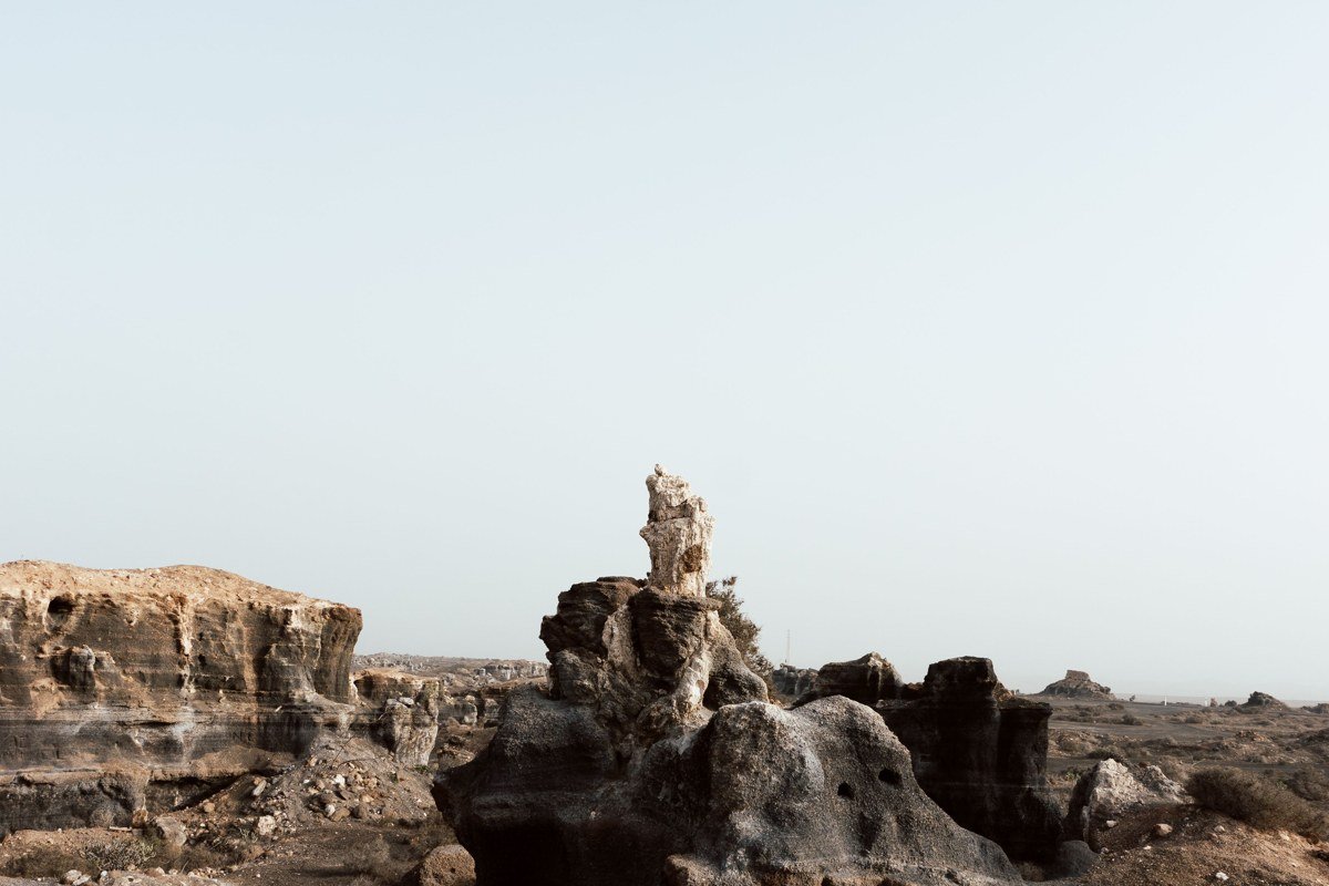
Valle de las Rocas does not appear on most itineraries at all, which is remarkable given that it contains some of the most bizarre volcanic rock formations in South America. Wind erosion over millions of years has sculpted basalt into shapes that resemble stacked heads, melted candles, and abstract architecture. The scale is hard to read in photographs because there are no trees or fences for context, which actually makes the images more striking. Walking between the formations in early morning light, when shadows cut deep and the rock takes on a warm amber tone, produces images that look nothing like the salt flat aesthetic but are genuinely more arresting. It sits in the Siloli Desert corridor between Laguna Colorada and the Chilean border, easily added to a southbound circuit with a request to the driver.
5. Salar de Chiguana
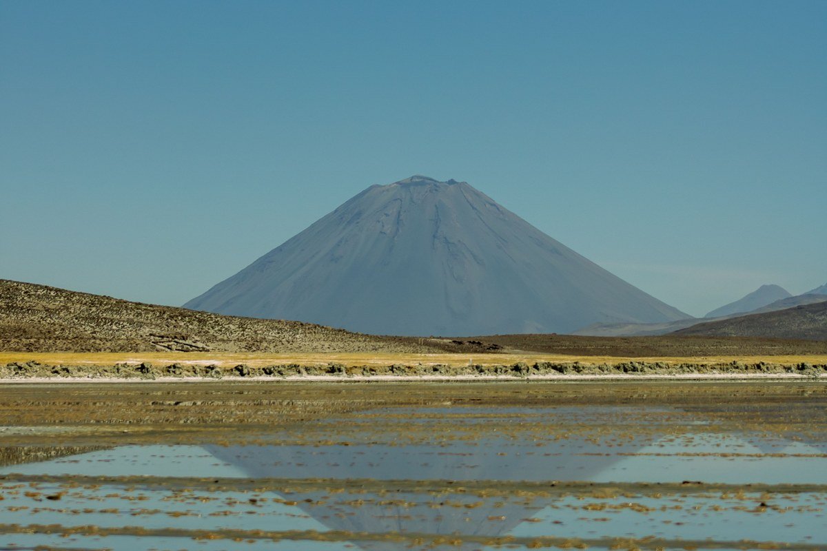
Salar de Chiguana is a smaller, less visited salt flat that sits north of the main reserve and is bisected by a working railway line running between Bolivia and Chile. The visual combination of white salt crust, rusted tracks receding into the horizon, and the Ollagüe volcano smoking faintly in the background is the kind of scene that requires almost no creative direction to photograph well. Because it lacks the fame of Salar de Uyuni, visitor numbers are minimal and the surface is not yet cracked into the perfectly geometric hexagonal pattern that makes the main flat so recognisable. That rougher, more raw texture is its own aesthetic. The tracks are occasionally in use, so ask your driver about the schedule before walking out onto them for wide-angle compositions.
6. Laguna Hedionda
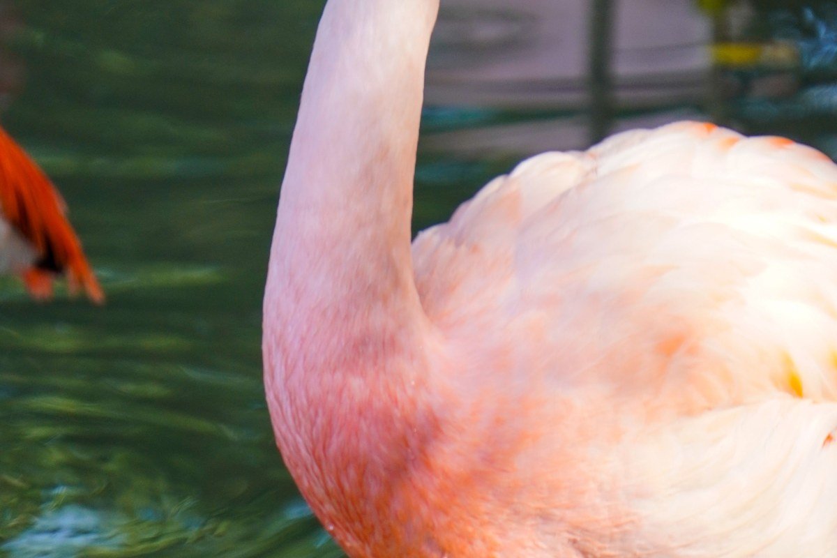
The name translates roughly to “foul-smelling lagoon,” which is fair, but the smell fades quickly once you are shooting. Laguna Hedionda sits at around 4,500 metres and hosts three species of flamingo simultaneously: James’s, Andean, and Chilean. Seeing all three in the same frame, reflected in still green water with the brown altiplano hills behind them, is something most wildlife photographers specifically seek out. It sits between Uyuni and the main reserve, which means it is reachable without committing to a multi-day circuit south. The water level fluctuates seasonally, and a lower level in the dry season concentrates the flamingos into denser, more photogenic clusters. Plan to arrive in the morning before the birds disperse to feed further from the bank.
7. Laguna Canapa
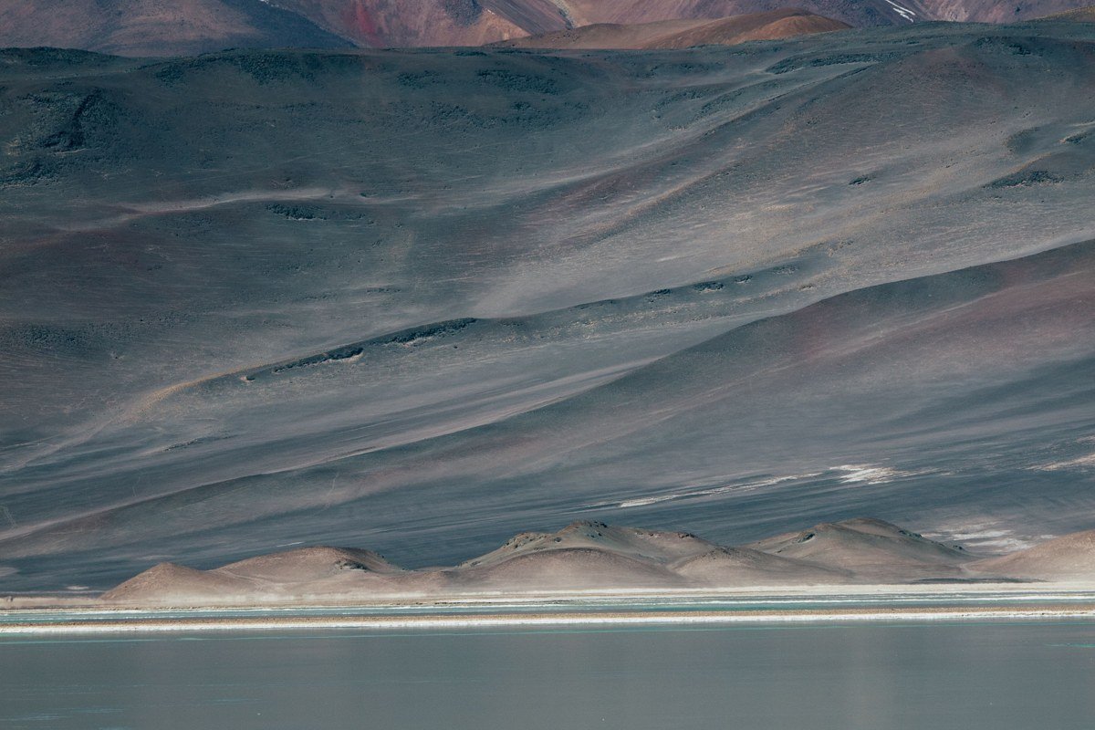
Laguna Canapa deserves more than the ten-minute stop most circuits give it. Where Laguna Colorada is defined by its brick-red pigment and borax islands, Canapa reads as a clean, almost Caribbean turquoise at midday but shifts toward deep teal in the low light of early morning. That cooler palette, combined with a surface that tends to stay calmer than the larger southern lakes, makes it consistently the best location on the northern corridor for unbroken flamingo reflections. Flamingo counts here run into the hundreds rather than the thousands of Colorada, but the smaller scale works in a photographer’s favour: the birds are close to shore and frame more naturally against the water. For a compositional tip, position yourself low on the western bank before 8 a.m. and shoot east, placing the birds between you and the rising light so their pink plumage reads against the darker water rather than the bright sky.
One important seasonality note: the southern lakes, including Colorada and Hedionda, have their highest flamingo density during the breeding season from November through January, but that period also brings the worst road conditions on the southern circuit. Choosing between peak flamingos and passable roads is a genuine trade-off that most itinerary guides quietly skip over.
8. Tunupa Volcano and the North Shore Villages
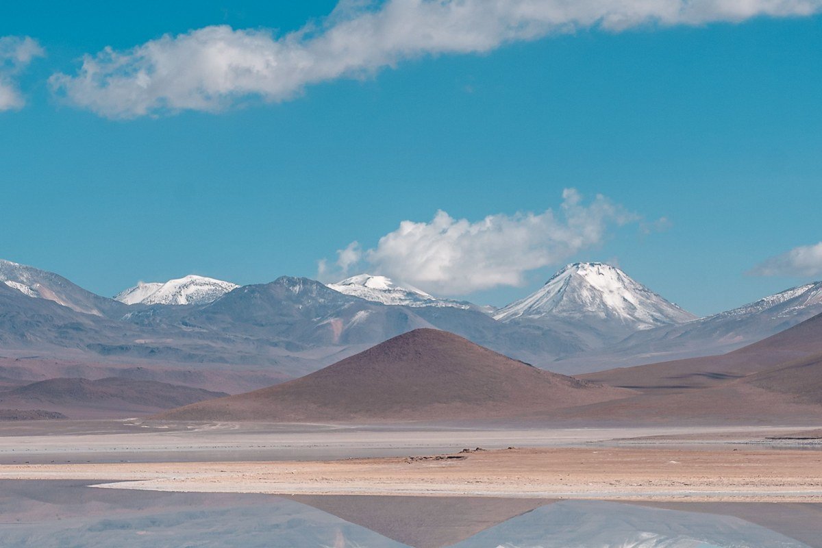
Tunupa is the 5,400-metre dormant volcano that presides over the northern edge of Salar de Uyuni, and it is almost always photographed from a distance as a backdrop rather than approached as a destination. The north shore below it holds several small villages, including Coquesa, where a pre-Columbian cemetery with mummies is preserved in a cave partway up the volcano’s flank. The ascent to the cave is a solid two-hour hike with serious altitude, but the view back down over the salt flat from that elevation is simply not available anywhere else on the standard circuit. The village of Jirira nearby has a basic community guesthouse that places you on the flat at first light without a two-hour drive from Uyuni town. Staying one night on the north shore changes the whole texture of the trip.
What to Skip (Or at Least Question)
Some agencies pad the standard three-day circuit with a stop at a salt hotel on the flat’s edge. The architecture is mildly interesting for five minutes and the gift shop prices are high. Unless you are staying the night there, it adds nothing to the visual story of the altiplano and costs an hour of light you could spend at Canapa or Hedionda. Similarly, a handful of operators include a detour to “the train cemetery” on the outskirts of Uyuni town. It photographs well at golden hour and is worth seeing on arrival or departure, but inserting it mid-circuit as a filler stop breaks the rhythm of the southern journey. Ask your agency for the explicit list of stops before you commit to a tour, and push back on anything that reads like padding.
Practical Takeaway
Getting to most of these places requires a private 4×4 with an experienced driver, or a small group tour that allows route customisation. For operators in Uyuni town, look for agencies affiliated with APTUR Bolivia, the regional tour operator association, which provides a basic quality benchmark and some recourse if the itinerary is not honoured. The standard three-day circuit covers the southern reserve and passes near several of these spots, but the pacing is fast. Specify in advance which places matter to you and confirm they are in the itinerary, in writing if the agency offers contracts.
Entry to the Eduardo Avaroa Andean Fauna National Reserve costs 150 Bolivianos for foreign visitors (payable at the reserve entrance gate in cash), and your driver will typically factor this into the circuit logistics, though you should confirm whether it is included in your tour price or paid separately on arrival.
The dry season (May through October) gives better road conditions, more reliable access to the southern lakes, and colder nights. The wet season (November through March) turns the main salt flat into the famous mirror, but some southern roads become impassable. Most of these secondary sites are accessible year-round with an experienced driver who knows the terrain.
Altitude is the single most underestimated factor. Uyuni town sits at roughly 3,650 metres. The southern reserve peaks near 5,000 metres. Spend at least one full day in Uyuni before pushing south, drink more water than feels necessary, and carry acetazolamide if your doctor has recommended it. The landscapes here require you to move slowly and look carefully, which is much harder to do when you are lightheaded and exhausted.
Bring a wide-angle lens and a polarising filter for cutting glare on the coloured lakes. Expect your phone camera to struggle with the contrast between bright sky and dark volcanic foreground. The shots that look impossible are the ones taken at the margins of the day, not at noon on a tour schedule. That is the real difference between visiting Salar de Uyuni and photographing the altiplano properly.